2018 John Tate Dr Bowman, GA 30624
Estimated Value: $224,000 - $382,000
3
Beds
2
Baths
1,680
Sq Ft
$190/Sq Ft
Est. Value
About This Home
This home is located at 2018 John Tate Dr, Bowman, GA 30624 and is currently estimated at $318,831, approximately $189 per square foot. 2018 John Tate Dr is a home with nearby schools including Elbert County Elementary School, Elbert County Primary School, and Elbert County Middle School.
Ownership History
Date
Name
Owned For
Owner Type
Purchase Details
Closed on
Aug 26, 2021
Sold by
Tate Hellen B
Bought by
Dunn Luke T and Tate Hellen D
Current Estimated Value
Home Financials for this Owner
Home Financials are based on the most recent Mortgage that was taken out on this home.
Original Mortgage
$190,600
Outstanding Balance
$164,594
Interest Rate
2.8%
Mortgage Type
New Conventional
Estimated Equity
$154,237
Purchase Details
Closed on
Jun 23, 2021
Sold by
Gilland Tammy T
Bought by
Tate Breann
Purchase Details
Closed on
Feb 1, 2001
Sold by
Tate Bobby Ray
Bought by
Gilland Tammy T
Purchase Details
Closed on
Nov 1, 1998
Purchase Details
Closed on
Mar 1, 1965
Purchase Details
Closed on
Dec 1, 1960
Create a Home Valuation Report for This Property
The Home Valuation Report is an in-depth analysis detailing your home's value as well as a comparison with similar homes in the area
Home Values in the Area
Average Home Value in this Area
Purchase History
| Date | Buyer | Sale Price | Title Company |
|---|---|---|---|
| Dunn Luke T | -- | -- | |
| Tate Breann | $5,000 | -- | |
| Gilland Tammy T | -- | -- | |
| -- | -- | -- | |
| -- | -- | -- | |
| -- | -- | -- |
Source: Public Records
Mortgage History
| Date | Status | Borrower | Loan Amount |
|---|---|---|---|
| Open | Dunn Luke T | $190,600 |
Source: Public Records
Tax History Compared to Growth
Tax History
| Year | Tax Paid | Tax Assessment Tax Assessment Total Assessment is a certain percentage of the fair market value that is determined by local assessors to be the total taxable value of land and additions on the property. | Land | Improvement |
|---|---|---|---|---|
| 2024 | $2,134 | $90,986 | $33,041 | $57,945 |
| 2023 | $2,134 | $90,986 | $33,041 | $57,945 |
| 2022 | $567 | $23,633 | $19,668 | $3,965 |
| 2021 | $567 | $23,633 | $19,668 | $3,965 |
| 2020 | $535 | $19,699 | $15,734 | $3,965 |
| 2019 | $868 | $30,750 | $15,734 | $15,016 |
| 2018 | $895 | $30,750 | $15,734 | $15,016 |
| 2017 | $822 | $26,148 | $15,734 | $10,414 |
| 2016 | $767 | $26,148 | $15,734 | $10,414 |
| 2015 | -- | $26,148 | $15,734 | $10,414 |
| 2014 | -- | $28,893 | $15,734 | $13,159 |
Source: Public Records
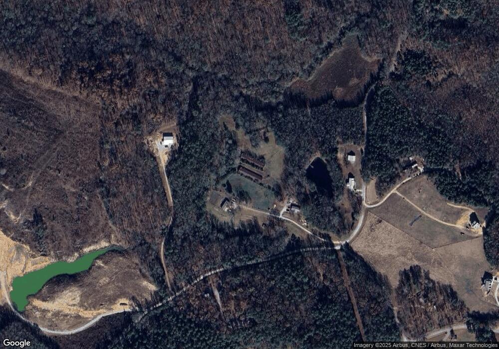
Map
Nearby Homes
- 0 Dusty Rd Unit 10569563
- 0 Dusty Rd Unit 7619983
- 1825 Seymour Rd
- 1963 Rehoboth Rd Unit EXTENSION
- 1963 Rehoboth Rd
- 227 Rehoboth Rd
- 2784 Stanley Maxwell Rd
- 3272 Horace Rd
- 0 Bowers St Unit LOT 1-8 10576344
- 0 Bowers St Unit LOT 1-8 CL335681
- 2587 Quill Rd
- 2198 Bennett Rd
- 1458 & 1463 Parham Town Rd
- 2660 Parham Town Rd
- 2970 Davids Home Church Rd
- 0 Five Forks Rd Unit 10619685
- 3075 Sycamore Rd
- 3075 Sycamore Rd
- 0 Fork Creek Rd Unit 10616779
- 0 Fork Creek Rd Unit 7659678
- 2016 John Tate Dr
- 0 Massey Rd Unit 8261349
- 0 Massey Rd Unit 10010650
- 0 Massey Rd Unit 9010313
- 0 Massey Rd Unit 8919646
- 127 ac Massey Rd
- 1919 Massey Rd
- 1886 Massey Rd
- 1912 Massey Rd
- 3256 Browns Bridge Rd
- 3314 Browns Bridge Rd
- 1908 Roberts Rd
- 3249 Browns Bridge Rd
- 3283 Browns Bridge Rd
- 2124 Highway 172 W
- 3379 Deep Creek Rd
- 0 Browns Bridge Rd Unit 3262370
- 0 Browns Bridge Rd Unit 10027210
- 0 Browns Bridge Rd Unit 7506924
- 3326 Browns Bridge Rd