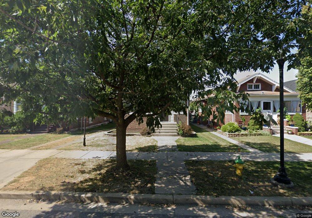
2018 Lincoln Ave Whiting, IN 46394
Estimated Value: $141,000 - $271,000
3
Beds
2
Baths
2,360
Sq Ft
$94/Sq Ft
Est. Value
About This Home
This home is located at 2018 Lincoln Ave, Whiting, IN 46394 and is currently estimated at $222,685, approximately $94 per square foot. 2018 Lincoln Ave is a home located in Lake County with nearby schools including Benjamin Franklin Elementary School, Eggers Middle School, and Hammond High School.
Ownership History
Date
Name
Owned For
Owner Type
Purchase Details
Closed on
Aug 9, 2023
Sold by
Pena Cathy
Bought by
Roberts Lance
Current Estimated Value
Home Financials for this Owner
Home Financials are based on the most recent Mortgage that was taken out on this home.
Original Mortgage
$130,000
Outstanding Balance
$126,653
Interest Rate
6.81%
Mortgage Type
New Conventional
Estimated Equity
$96,032
Create a Home Valuation Report for This Property
The Home Valuation Report is an in-depth analysis detailing your home's value as well as a comparison with similar homes in the area
Home Values in the Area
Average Home Value in this Area
Purchase History
| Date | Buyer | Sale Price | Title Company |
|---|---|---|---|
| Roberts Lance | $130,000 | Chicago Title |
Source: Public Records
Mortgage History
| Date | Status | Borrower | Loan Amount |
|---|---|---|---|
| Open | Roberts Lance | $130,000 |
Source: Public Records
Tax History
| Year | Tax Paid | Tax Assessment Tax Assessment Total Assessment is a certain percentage of the fair market value that is determined by local assessors to be the total taxable value of land and additions on the property. | Land | Improvement |
|---|---|---|---|---|
| 2025 | $2,470 | $232,600 | $31,900 | $200,700 |
| 2024 | $8,718 | $218,900 | $31,900 | $187,000 |
| 2023 | $2,236 | $182,400 | $32,300 | $150,100 |
| 2022 | $2,236 | $175,500 | $32,300 | $143,200 |
| 2021 | $2,058 | $161,800 | $21,800 | $140,000 |
| 2020 | $1,971 | $155,100 | $21,800 | $133,300 |
| 2019 | $1,772 | $131,200 | $21,800 | $109,400 |
| 2018 | $1,756 | $126,500 | $21,800 | $104,700 |
| 2017 | $1,900 | $124,500 | $21,800 | $102,700 |
| 2016 | $1,651 | $121,100 | $21,800 | $99,300 |
| 2014 | $1,677 | $123,800 | $21,800 | $102,000 |
| 2013 | $1,362 | $114,100 | $21,800 | $92,300 |
Source: Public Records
Map
Nearby Homes
- 1949 Lake Ave
- 2024 Lake Ave
- 2134 Lincoln Ave
- 1218 120th St
- 1207 Lakeview Ave
- 1314 121st St
- 2017 Clark St
- 2231 Davis Ave
- 2027 1/2 Davidson Place
- 1710 Atchison Ave
- 1944 Warwick Ave
- 2140 Indianapolis Blvd
- 1704 Central Ave
- 1711 Central Ave
- 1806 Brown Ave
- 1631 Cleveland Ave
- 1623 Central Ave
- 1536 W Fred St
- 1539 Myrtle Ave
- 1643 Roberts Ave
- 2022 Lincoln Ave
- 2016 Lincoln Ave
- 2040 Lincoln Ave
- 2024 Lincoln Ave
- 2012 Lincoln Ave
- 2028 Lincoln Ave
- 2010 Lincoln Ave
- 2017 Superior Ave
- 2019 Superior Ave
- 2006 Lincoln Ave
- 2013 Superior Ave
- 2023 Superior Ave
- 2009 Superior Ave Unit 11
- 2025 Superior Ave
- 2004 Lincoln Ave
- 2017 Lincoln Ave
- 2015 Lincoln Ave
- 2021 Lincoln Ave
- 2013 Lincoln Ave
- 2007 Superior Ave
Your Personal Tour Guide
Ask me questions while you tour the home.