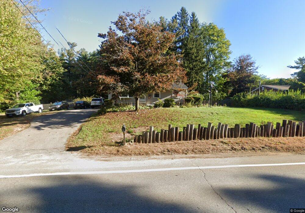
2018 Main St Jefferson, MA 01522
Estimated Value: $404,000 - $434,000
3
Beds
2
Baths
1,008
Sq Ft
$416/Sq Ft
Est. Value
About This Home
This home is located at 2018 Main St, Jefferson, MA 01522 and is currently estimated at $419,520, approximately $416 per square foot. 2018 Main St is a home located in Worcester County with nearby schools including Wachusett Regional High School and Holden Christian Academy.
Ownership History
Date
Name
Owned For
Owner Type
Purchase Details
Closed on
May 28, 1999
Sold by
Power Thomas W
Bought by
Renzetti David M and Renzetti Pamela J
Current Estimated Value
Purchase Details
Closed on
Apr 25, 1994
Sold by
Cahill Nancy E and Green Kathleen
Bought by
Power Thomas W
Home Financials for this Owner
Home Financials are based on the most recent Mortgage that was taken out on this home.
Original Mortgage
$96,012
Interest Rate
7.6%
Mortgage Type
Purchase Money Mortgage
Create a Home Valuation Report for This Property
The Home Valuation Report is an in-depth analysis detailing your home's value as well as a comparison with similar homes in the area
Home Values in the Area
Average Home Value in this Area
Purchase History
| Date | Buyer | Sale Price | Title Company |
|---|---|---|---|
| Renzetti David M | $122,500 | -- | |
| Power Thomas W | $96,500 | -- |
Source: Public Records
Mortgage History
| Date | Status | Borrower | Loan Amount |
|---|---|---|---|
| Open | Power Thomas W | $138,550 | |
| Previous Owner | Power Thomas W | $96,012 |
Source: Public Records
Tax History
| Year | Tax Paid | Tax Assessment Tax Assessment Total Assessment is a certain percentage of the fair market value that is determined by local assessors to be the total taxable value of land and additions on the property. | Land | Improvement |
|---|---|---|---|---|
| 2025 | $5,137 | $370,600 | $149,900 | $220,700 |
| 2024 | $4,720 | $333,600 | $145,500 | $188,100 |
| 2023 | $4,367 | $291,300 | $126,500 | $164,800 |
| 2022 | $4,185 | $252,700 | $98,700 | $154,000 |
| 2021 | $5,789 | $233,100 | $94,100 | $139,000 |
| 2020 | $2,945 | $220,100 | $89,700 | $130,400 |
| 2019 | $4,895 | $210,300 | $89,700 | $120,600 |
| 2018 | $3,409 | $193,600 | $85,400 | $108,200 |
| 2017 | $2,667 | $189,400 | $85,400 | $104,000 |
| 2016 | $3,108 | $180,200 | $81,500 | $98,700 |
| 2015 | $3,115 | $171,900 | $81,500 | $90,400 |
| 2014 | $3,051 | $171,900 | $81,500 | $90,400 |
Source: Public Records
Map
Nearby Homes
- 40 Princeton St
- 197 High St
- 129 Quinapoxet St
- 64 Kendall Rd
- 20 Fernwood Dr
- 35 Laurel Hill Ln
- 30 Duxbury Dr
- 134 Jamieson Rd
- 63 Walnut St
- 376 Elmwood Ave
- 5 Karen Way
- 189 Maple Ave
- 176 Maple Ave Unit 7-21
- 176 Maple Ave Unit 5-32
- 176 Maple Ave Unit 1-24
- 176 Maple Ave Unit 1-38
- 85 Maple Ave Unit A
- 27 Lewis St
- 139 E County Rd Unit 139
- 147 E County Rd Unit 149
Your Personal Tour Guide
Ask me questions while you tour the home.