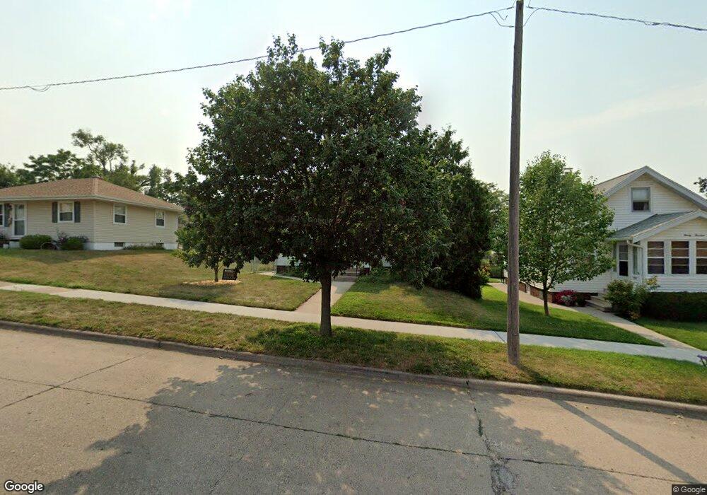
2018 Mallory St SW Cedar Rapids, IA 52404
Southwest Area NeighborhoodEstimated Value: $142,000 - $158,000
About This Home
This home is located at 2018 Mallory St SW, Cedar Rapids, IA 52404 and is currently estimated at $147,843, approximately $188 per square foot. 2018 Mallory St SW is a home located in Linn County with nearby schools including Grant Elementary School, Wilson Middle School, and Thomas Jefferson High School.
Ownership History
We collect this data history from publicly available records. To have your information removed, we recommend requesting removal directly through your county’s website.
Purchase Details
Home Financials for this Owner
Home Financials are based on the most recent Mortgage that was taken out on this home.Purchase Details
Home Financials for this Owner
Home Financials are based on the most recent Mortgage that was taken out on this home.Home Values in the Area
Average Home Value in this Area
Purchase History
We collect this data history from publicly available records. To have your information removed, we recommend requesting removal directly through your county’s website.
| Date | Buyer | Sale Price | Title Company |
|---|---|---|---|
| $89,500 | -- | ||
| $72,500 | -- |
Mortgage History
We collect this data history from publicly available records. To have your information removed, we recommend requesting removal directly through your county’s website.
| Date | Status | Borrower | Loan Amount |
|---|---|---|---|
| Closed | $30,000 | ||
| Open | $87,600 | ||
| Previous Owner | $60,900 |
Tax History
We collect this data history from publicly available records. To have your information removed, we recommend requesting removal directly through your county’s website.
| Year | Tax Paid | Tax Assessment Tax Assessment Total Assessment is a certain percentage of the fair market value that is determined by local assessors to be the total taxable value of land and additions on the property. | Land | Improvement |
|---|---|---|---|---|
| 2025 | $1,880 | $140,100 | $26,500 | $113,600 |
| 2024 | $2,022 | $127,800 | $21,600 | $106,200 |
| 2023 | $2,022 | $123,700 | $19,600 | $104,100 |
| 2022 | $1,880 | $104,700 | $19,600 | $85,100 |
| 2021 | $1,882 | $99,700 | $19,600 | $80,100 |
| 2020 | $1,882 | $93,900 | $19,600 | $74,300 |
| 2019 | $1,706 | $87,700 | $16,700 | $71,000 |
| 2018 | $1,656 | $87,700 | $16,700 | $71,000 |
| 2017 | $1,702 | $86,700 | $16,700 | $70,000 |
| 2016 | $1,873 | $88,100 | $16,700 | $71,400 |
| 2015 | $1,815 | $85,286 | $16,660 | $68,626 |
| 2014 | $1,630 | $87,408 | $16,660 | $70,748 |
| 2013 | $1,634 | $87,408 | $16,660 | $70,748 |
Map
- 2116 Hamilton St SW
- 2228 Mallory St SW
- 137 19th Ave SW
- 23 24th Ave SW
- 16 Aossey Ln SW
- 2512 Mallory St SW
- 1837 D St SW
- 2009 3rd St SW
- 102 27th Avenue Dr SW
- 421 Wilson Avenue Dr SW
- 1600 L St SW
- 2447 Lauren Dr SW
- 130 29th Ave SW
- 1601 N St SW
- 272 28th Ave SW
- 2404 Wisconsin St SW
- 61 29th Ave SW
- 359 15th Ave SW
- 2402 Fruitland Blvd SW
- 1323 M St SW
- 171 21st Ave SW
- 2107 Hamilton St SW
- 2113 Hamilton St SW
- 2117 Hamilton St SW
- 2100 Mallory St SW
- 2123 Hamilton St SW
- 2013 Hamilton St SW
- 2024 Mallory St SW
- 183 21st Ave SW
- 2120 Mallory St SW
- 182 21st Ave SW
- 180 22nd Ave SW
- 2009 Hamilton St SW
- 2125 Hamilton St SW
- 185 21st Ave SW
- 182 22nd Ave SW
- 2007 Hamilton St SW
- 2014 Mallory St SW
- 2124 Mallory St SW
- 184 21st Ave SW
Ask me questions while you tour the home.