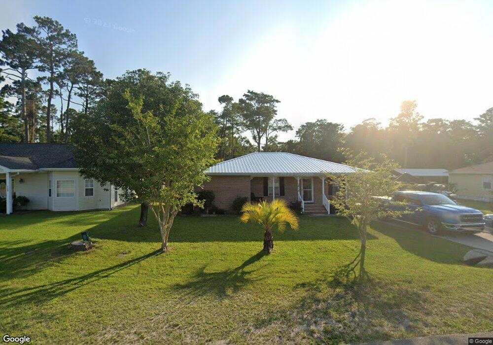
2018 Marvin Ave Unit A Port Saint Joe, FL 32456
Estimated Value: $341,000 - $459,000
3
Beds
2
Baths
1,236
Sq Ft
$311/Sq Ft
Est. Value
About This Home
This home is located at 2018 Marvin Ave Unit A, Port Saint Joe, FL 32456 and is currently estimated at $384,267, approximately $310 per square foot. 2018 Marvin Ave Unit A is a home located in Gulf County with nearby schools including Growing Minds Center.
Ownership History
Date
Name
Owned For
Owner Type
Purchase Details
Closed on
Jul 30, 2021
Sold by
Lerch Michael E and Lerch Pilar E
Bought by
Degner Albert George and Degner Donna Jean
Current Estimated Value
Purchase Details
Closed on
Sep 4, 2004
Sold by
Tuckey Troy D and Tuckey Lisa M
Bought by
Lerch Michael E and Lerch Pilar E
Purchase Details
Closed on
Oct 2, 2001
Sold by
Kunz Richard E
Bought by
Tuckey Troy D and Tuckey Lisa M
Home Financials for this Owner
Home Financials are based on the most recent Mortgage that was taken out on this home.
Original Mortgage
$93,900
Interest Rate
6.87%
Create a Home Valuation Report for This Property
The Home Valuation Report is an in-depth analysis detailing your home's value as well as a comparison with similar homes in the area
Home Values in the Area
Average Home Value in this Area
Purchase History
| Date | Buyer | Sale Price | Title Company |
|---|---|---|---|
| Degner Albert George | $349,900 | None Available | |
| Lerch Michael E | $167,000 | -- | |
| Tuckey Troy D | $99,000 | -- |
Source: Public Records
Mortgage History
| Date | Status | Borrower | Loan Amount |
|---|---|---|---|
| Previous Owner | Tuckey Troy D | $93,900 |
Source: Public Records
Tax History Compared to Growth
Tax History
| Year | Tax Paid | Tax Assessment Tax Assessment Total Assessment is a certain percentage of the fair market value that is determined by local assessors to be the total taxable value of land and additions on the property. | Land | Improvement |
|---|---|---|---|---|
| 2024 | $2,873 | $238,738 | -- | -- |
| 2023 | $2,891 | $231,784 | $0 | $0 |
| 2022 | $2,940 | $225,033 | $50,000 | $175,033 |
| 2021 | $898 | $94,654 | $0 | $0 |
| 2020 | $893 | $93,347 | $0 | $0 |
| 2019 | $869 | $91,248 | $0 | $0 |
| 2018 | $853 | $89,547 | $0 | $0 |
| 2017 | $820 | $87,705 | $0 | $0 |
| 2016 | $822 | $85,901 | $0 | $0 |
| 2015 | $834 | $85,304 | $0 | $0 |
| 2014 | $808 | $86,117 | $0 | $0 |
Source: Public Records
Map
Nearby Homes
- 901 Twentieth St
- 2000 Marvin Ave
- Lot 1 Garrison Ave
- 111 Heritage Ln
- 135 Cades Ct
- 911 20th St
- 292 Cove Ln
- 1803 Marvin Ave
- 1802 Garrison Ave
- 1805 Garrison Ave
- 2003 Long Ave
- TBD Long Ave
- 1903 Cypress Ave
- 118 Bellamy Cir
- 110 Bellamy Cir
- 1901 Long Ave
- 305 20th St
- 104 Arazzo Way
- 113 Mosaic Dr
- TBD Sixteenth St
- 2018 Marvin Ave
- 2020 Marvin Ave
- 2014 Marvin Ave
- 2002 Marvin Ave
- 2004 Marvin Ave
- 2022 Marvin Ave
- 2012 Marvin Ave
- 2019 Marvin Ave
- 2017 Marvin Ave
- 2021 Marvin Ave
- 2015 Marvin Ave
- 2010 Marvin Ave
- 2025 Marvin Ave
- 2026 Marvin Ave
- 2013 Marvin Ave
- 199 Palmetto Bluff Trail
- 2014 Garrison Ave
- 2011 Marvin Ave
- 801 22nd St
- 2012 Garrison Ave