2018 Pontiac Trail Ann Arbor, MI 48105
Northern Ann Arbor NeighborhoodEstimated Value: $677,000 - $1,242,000
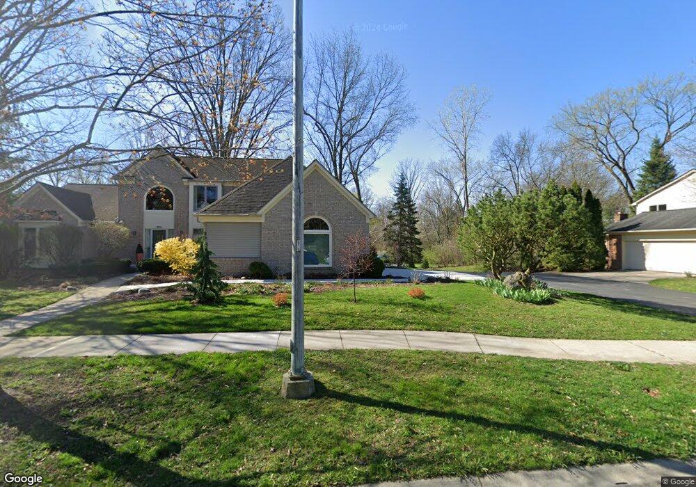
About This Home
Large light-filled room( (13 x 11) in a large house with a private bath. FOR ONE INDIVIDUAL ONLY Quiet and semi-furnished, internet included. Outside lights (dawn-dusk, motion activated) on the house, North Campus area. AATA bus stop 1/2 block from the house. There is an express bus in the am and pm to the Medical School. Parking is on a gravel driveway, plowed in the winter. Links to AATA buses: AATA #63 express bus file:///C:/Users/Hello!/Downloads/Route%2063%20MED%20CCT.pdf additional buses, #23 Plymouth Rd to Murfin N. Campus: file:///C:/Users/Hello!/Downloads/Route%2063%20MED%20CCT.pdf and #22 Pontiac Trail to Pierpont Commons, N. Campus: file:///C:/Users/Hello!/Downloads/Route%2022%20PT%20TO%20N%20CAMPUS%20PIERPONT.pdf The #22 once it enters N. Campus you can then take a UM bus to various UM locations. All buses(AATA & UM are free to UM students with UM ID . Miles to North Campus Rec Center 1.5 miles, to Pierpont Commons and UM Music School 1.6 miles, to the Engineering Bldgs. approx 1.9miles.
Ownership History
Purchase Details
Home Financials for this Owner
Home Financials are based on the most recent Mortgage that was taken out on this home.Purchase Details
Home Values in the Area
Average Home Value in this Area
Purchase History
| Date | Buyer | Sale Price | Title Company |
|---|---|---|---|
| Michot Ingrid | -- | -- | |
| Rutka Michael | $410,000 | -- |
Mortgage History
| Date | Status | Borrower | Loan Amount |
|---|---|---|---|
| Open | Michot Ingrid | $242,700 |
Property History
| Date | Event | Price | List to Sale | Price per Sq Ft |
|---|---|---|---|---|
| 09/01/2024 09/01/24 | For Rent | $950 | -- | -- |
Tax History
| Year | Tax Paid | Tax Assessment Tax Assessment Total Assessment is a certain percentage of the fair market value that is determined by local assessors to be the total taxable value of land and additions on the property. | Land | Improvement |
|---|---|---|---|---|
| 2025 | $7,861 | $557,500 | $0 | $0 |
| 2024 | $7,435 | $542,700 | $0 | $0 |
| 2023 | $6,856 | $512,900 | $0 | $0 |
| 2022 | $7,471 | $468,600 | $0 | $0 |
| 2021 | $7,295 | $456,400 | $0 | $0 |
| 2020 | $7,147 | $421,100 | $0 | $0 |
| 2019 | $6,802 | $397,200 | $397,200 | $0 |
| 2018 | $6,706 | $389,100 | $0 | $0 |
| 2017 | $6,524 | $396,400 | $0 | $0 |
| 2016 | $6,517 | $130,451 | $0 | $0 |
| 2015 | $5,994 | $130,061 | $0 | $0 |
| 2014 | $5,994 | $125,998 | $0 | $0 |
| 2013 | -- | $125,998 | $0 | $0 |
Map
- 502 Larkspur St
- 352 Manor Dr
- 374 Hilldale Dr
- 1713 Pontiac Trail
- 1621 Peach St
- 2757 Polson St
- 2793 Bristol Ridge Dr Unit 45
- 2783 Bristol Ridge Dr Unit 40
- 2778 Bristol Ridge Dr Unit 38
- 704 Amherst Ave
- 2776 Bristol Ridge Dr Unit 37
- 2772 Bristol Ridge Dr Unit 35
- 2774 Bristol Ridge Dr Unit 36
- 2768 S Knightsbridge Cir
- 2738 S Knightsbridge Cir
- 2981 Havre St
- 2994 Montana Way
- 2887 Dillon Dr
- 2678 S Knightsbridge Cir Unit 24
- 1858 Upland Dr
- 2018 Pontiac Trail Unit 1
- 856 Brookside Dr Unit 31
- 836 Brookside Dr
- 866 Brookside Dr Unit 30
- 816 Brookside Dr
- 806 Brookside Dr
- 2039 Tibbits Ct
- 2059 Tibbits Ct
- 2049 Tibbits Ct Unit 27
- 2029 Tibbits Ct Unit 25
- 2069 Tibbits Ct Unit 29
- 865 Brookside Dr Unit 9
- 2019 Tibbits Ct
- 2050 Tibbits Ct
- 2040 Tibbits Ct Unit 19
- 0 Tibbits Ct
- 801 Brookside Dr Unit 1
- 833 Brookside Dr
- 841 Brookside Dr Unit 6
- 873 Brookside Dr Unit 10
Ask me questions while you tour the home.