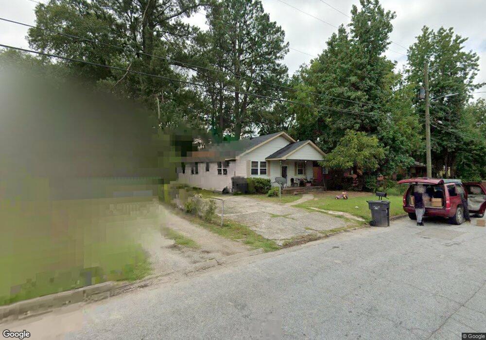
2018 Randall Rd Augusta, GA 30904
Pendleton King NeighborhoodEstimated Value: $112,000 - $159,000
2
Beds
2
Baths
1,408
Sq Ft
$97/Sq Ft
Est. Value
About This Home
This home is located at 2018 Randall Rd, Augusta, GA 30904 and is currently estimated at $136,306, approximately $96 per square foot. 2018 Randall Rd is a home located in Richmond County with nearby schools including Monte Sano Elementary School, Johnson Magnet, and Tutt Middle School.
Ownership History
Date
Name
Owned For
Owner Type
Purchase Details
Closed on
Aug 24, 2010
Sold by
Wells Fargo Finl Of Ga
Bought by
Reynolds David M
Current Estimated Value
Purchase Details
Closed on
Feb 2, 2010
Sold by
Sanford Deborah
Bought by
Wells Fargo Financial Ga Inc
Purchase Details
Closed on
Mar 1, 1999
Sold by
Burnett Willie T
Bought by
Sanford Deborah
Create a Home Valuation Report for This Property
The Home Valuation Report is an in-depth analysis detailing your home's value as well as a comparison with similar homes in the area
Home Values in the Area
Average Home Value in this Area
Purchase History
| Date | Buyer | Sale Price | Title Company |
|---|---|---|---|
| Reynolds David M | $9,000 | -- | |
| Wells Fargo Financial Ga Inc | $56,300 | -- | |
| Wells Fargo Financial Georgia Inc | $56,300 | -- | |
| Sanford Deborah | -- | -- |
Source: Public Records
Tax History
| Year | Tax Paid | Tax Assessment Tax Assessment Total Assessment is a certain percentage of the fair market value that is determined by local assessors to be the total taxable value of land and additions on the property. | Land | Improvement |
|---|---|---|---|---|
| 2025 | $1,731 | $46,568 | $5,200 | $41,368 |
| 2024 | $1,731 | $44,932 | $5,200 | $39,732 |
| 2023 | $1,617 | $53,624 | $5,200 | $48,424 |
| 2022 | $1,278 | $31,623 | $5,200 | $26,423 |
| 2021 | $1,190 | $24,136 | $5,200 | $18,936 |
| 2020 | $1,245 | $28,302 | $8,000 | $20,302 |
| 2019 | $1,313 | $28,302 | $8,000 | $20,302 |
| 2018 | $1,322 | $28,302 | $8,000 | $20,302 |
| 2017 | $1,316 | $28,302 | $8,000 | $20,302 |
| 2016 | $1,316 | $28,302 | $8,000 | $20,302 |
| 2015 | $1,324 | $28,302 | $8,000 | $20,302 |
| 2014 | $1,325 | $28,302 | $8,000 | $20,302 |
Source: Public Records
Map
Nearby Homes
- 1512 Heard Ave
- 1612 Cornell Dr
- 2021 Wharton Dr
- 1508 Myrtle Ln
- 1447 Heard Ave
- 2038 Wharton Dr
- 1717 Morgan St
- 1430 Heard Ave
- 1422 Heard Ave
- 1703 Holly Hill Rd
- 1720 Cornell Dr
- 1541 Wooten Rd
- 1752 Pine Tree Rd
- 1823 Wrightsboro Rd
- 1510 Pendleton Rd
- 1802 Wilson Place
- 1729 Oak Dr
- 1437 Troupe St
- 1731 Oak Dr
- 1409 Maddox St
- 2020 Randall Rd
- 2016 Randall Rd
- 2014 Randall Rd
- 2022 Randall Rd
- 2012 Randall Rd
- 1616 Heard Ave
- 1622 Heard Ave
- 1620 Heard Ave
- 1624 Heard Ave
- 2010 Randall Rd
- 1618 Heard Ave
- 2006 Randall Rd
- 1614 Heard Ave
- 2007 Randall Rd
- 2014 Lanier Dr
- 2012 Lanier Dr
- 2016 Lanier Dr
- 2018 Lanier Dr
- 2010 Lanier Dr
- 2008 Lanier Dr
Your Personal Tour Guide
Ask me questions while you tour the home.