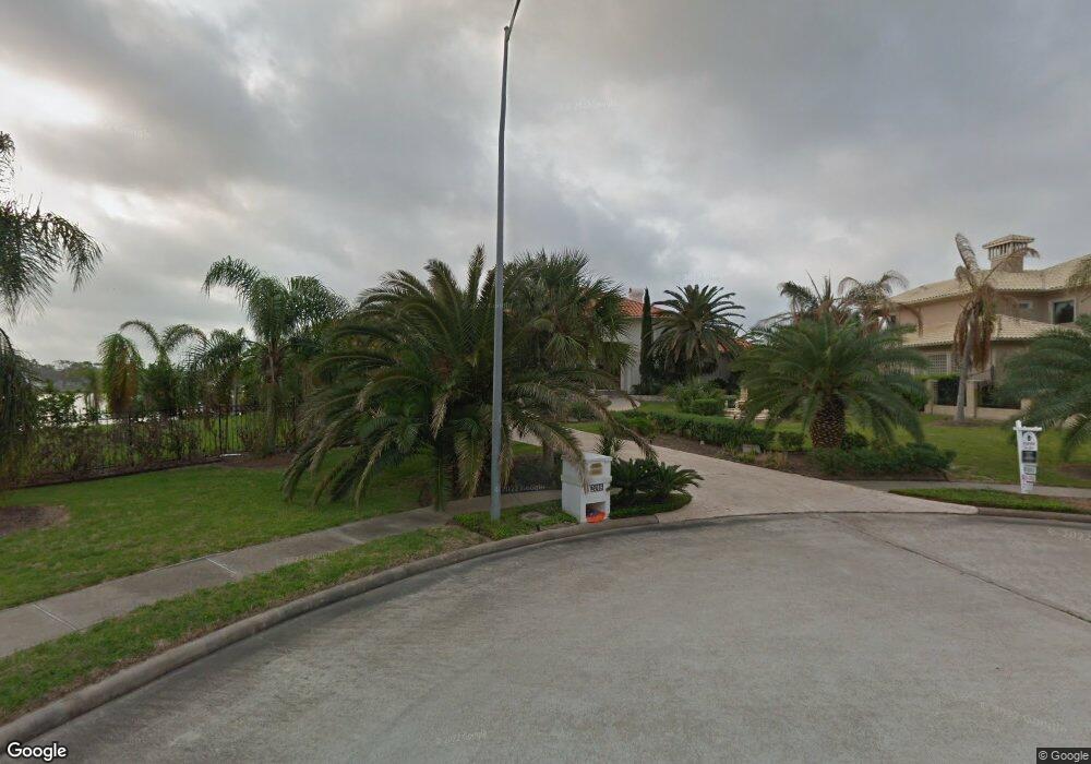
2018 Shore Line Dr Seabrook, TX 77586
Estimated Value: $1,741,000 - $2,086,447
4
Beds
4
Baths
5,039
Sq Ft
$378/Sq Ft
Est. Value
About This Home
This home is located at 2018 Shore Line Dr, Seabrook, TX 77586 and is currently estimated at $1,905,112, approximately $378 per square foot. 2018 Shore Line Dr is a home with nearby schools including G.W. Robinson Elementary, Seabrook Intermediate School, and Clear Lake High School.
Ownership History
Date
Name
Owned For
Owner Type
Purchase Details
Closed on
Dec 29, 2015
Sold by
Friedrichs William F and Friedrichs Angela
Bought by
Moyer Todd R and Moyer Kathaleen M
Current Estimated Value
Home Financials for this Owner
Home Financials are based on the most recent Mortgage that was taken out on this home.
Original Mortgage
$999,999
Outstanding Balance
$795,840
Interest Rate
3.98%
Mortgage Type
Purchase Money Mortgage
Estimated Equity
$1,109,272
Purchase Details
Closed on
Dec 10, 2007
Sold by
Yusuf Md Qaiser J and Yusuf Mary Jay
Bought by
Friedrichs William M
Home Financials for this Owner
Home Financials are based on the most recent Mortgage that was taken out on this home.
Original Mortgage
$1,400,000
Interest Rate
6.25%
Mortgage Type
Purchase Money Mortgage
Create a Home Valuation Report for This Property
The Home Valuation Report is an in-depth analysis detailing your home's value as well as a comparison with similar homes in the area
Home Values in the Area
Average Home Value in this Area
Purchase History
| Date | Buyer | Sale Price | Title Company |
|---|---|---|---|
| Moyer Todd R | -- | South Land Title Llc | |
| Moyer Todd R | -- | South Land Title Llc | |
| Friedrichs William M | -- | American Title Co | |
| Friedrichs William M | -- | American Title Co |
Source: Public Records
Mortgage History
| Date | Status | Borrower | Loan Amount |
|---|---|---|---|
| Open | Moyer Todd R | $999,999 | |
| Previous Owner | Friedrichs William M | $1,400,000 |
Source: Public Records
Tax History Compared to Growth
Tax History
| Year | Tax Paid | Tax Assessment Tax Assessment Total Assessment is a certain percentage of the fair market value that is determined by local assessors to be the total taxable value of land and additions on the property. | Land | Improvement |
|---|---|---|---|---|
| 2025 | $27,619 | $1,890,177 | $958,945 | $931,232 |
| 2024 | $27,619 | $1,927,131 | $958,945 | $968,186 |
| 2023 | $27,619 | $2,102,327 | $958,945 | $1,143,382 |
| 2022 | $33,428 | $1,592,346 | $958,945 | $633,401 |
| 2021 | $32,240 | $1,480,119 | $958,945 | $521,174 |
| 2020 | $31,528 | $1,286,024 | $639,297 | $646,727 |
| 2019 | $35,116 | $1,367,554 | $639,297 | $728,257 |
| 2018 | $9,664 | $1,253,819 | $601,691 | $652,128 |
| 2017 | $31,518 | $1,217,300 | $495,510 | $721,790 |
| 2016 | $32,505 | $1,255,400 | $495,510 | $759,890 |
| 2015 | $29,112 | $1,223,500 | $495,510 | $727,990 |
| 2014 | $29,112 | $1,100,000 | $495,510 | $604,490 |
Source: Public Records
Map
Nearby Homes
- 4141 Boardwalk Blvd
- 4145 Boardwalk Blvd
- 1907 Ray Shell Ct
- 4029 Boardwalk Blvd
- 4025 Boardwalk Blvd
- 1303 Lakeway Dr
- 1818 Ray Shell Ct
- 00 Red Bluff Rd
- 0 Red Bluff Rd
- 00 Shady Lake Dr
- 2904 Red Bluff Rd
- 1614 Roaring Springs Ln
- 2718 Sandpebble Dr
- 2938 N Island Dr
- 3006 S Island Dr
- 3018 S Island Dr
- 2610 Loganberry Cir
- 2625 Seashore Dr
- 1406 Spring Cress Ln
- 2514 Loganberry Cir
- 2018 Shoreline*btsa
- 2018 Shoreline Dr
- 0 Shore Line Dr Unit 968196
- 0 Shore Line Dr Unit 1508185
- 0 Shore Line Dr Unit 1205256
- 0 Shore Line Dr Unit 83731488
- 0 Shore Line Dr Unit Lot 4 55110780
- 0 Shore Line Dr Unit Lot 5 26198514
- 0 Shore Line Dr Unit 77236824
- 0 Shore Line Dr Unit 78444274
- 0 Shore Line Dr Unit 18194280
- 0 Shore Line Dr Unit 12385988
- 0 Shore Line Dr Unit 44265384
- 2026 Shoreline Dr
- 2010 Shoreline Dr
- 2002 Shoreline Dr
- 2003 Shore Line Dr
- 1930 Ray Shell Ct
- 1926 Shoreline Dr
- 1918 Shore Line Dr