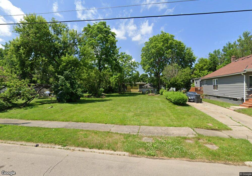
2018 Stanford Ave Flint, MI 48503
South Parks NeighborhoodEstimated Value: $50,000 - $78,000
3
Beds
2
Baths
1,152
Sq Ft
$58/Sq Ft
Est. Value
About This Home
This home is located at 2018 Stanford Ave, Flint, MI 48503 and is currently estimated at $66,240, approximately $57 per square foot. 2018 Stanford Ave is a home located in Genesee County with nearby schools including Freeman Elementary School, Flint Southwestern Classical Academy, and International Academy of Flint (K-12).
Ownership History
Date
Name
Owned For
Owner Type
Purchase Details
Closed on
Aug 3, 2022
Sold by
Genesee County Land Bank Authority
Bought by
Thompson Cheryl A
Current Estimated Value
Purchase Details
Closed on
Dec 21, 2011
Sold by
Genesee County Treasurer
Bought by
Genesee County Land Bank
Purchase Details
Closed on
Oct 18, 2006
Sold by
Austin Albert A
Bought by
Novastar Mortgage Inc
Purchase Details
Closed on
Feb 11, 2005
Sold by
Coleman Geraldine
Bought by
Austin Albert A
Purchase Details
Closed on
Sep 24, 1998
Sold by
Reddick Willie C
Bought by
Coleman Geraldine
Create a Home Valuation Report for This Property
The Home Valuation Report is an in-depth analysis detailing your home's value as well as a comparison with similar homes in the area
Home Values in the Area
Average Home Value in this Area
Purchase History
| Date | Buyer | Sale Price | Title Company |
|---|---|---|---|
| Thompson Cheryl A | -- | None Listed On Document | |
| Genesee County Land Bank | -- | None Available | |
| Novastar Mortgage Inc | $39,063 | None Available | |
| Austin Albert A | $51,000 | Titlequest Agency | |
| Coleman Geraldine | -- | First American Title Ins Co |
Source: Public Records
Tax History Compared to Growth
Tax History
| Year | Tax Paid | Tax Assessment Tax Assessment Total Assessment is a certain percentage of the fair market value that is determined by local assessors to be the total taxable value of land and additions on the property. | Land | Improvement |
|---|---|---|---|---|
| 2025 | $205 | $2,600 | $0 | $0 |
| 2024 | $191 | $2,300 | $0 | $0 |
| 2023 | $196 | $1,900 | $0 | $0 |
| 2022 | $0 | $0 | $0 | $0 |
| 2021 | $0 | $0 | $0 | $0 |
| 2020 | $0 | $0 | $0 | $0 |
| 2019 | $0 | $0 | $0 | $0 |
| 2018 | $0 | $0 | $0 | $0 |
| 2017 | $0 | $0 | $0 | $0 |
| 2016 | $0 | $0 | $0 | $0 |
| 2015 | -- | $0 | $0 | $0 |
| 2014 | -- | $0 | $0 | $0 |
| 2012 | -- | $0 | $0 | $0 |
Source: Public Records
Map
Nearby Homes
- 2010 Crocker Ave
- 1110 Pingree Ave
- 2050 Ferris Ave
- 2029 Aitken Ave
- 2121 Dwight Ave
- 420 Pingree Ave
- 2224 Crocker Ave
- 2221 Howard Ave
- 1628 Broad Ct
- 1601 Wayne St
- 930 Belmont Ave
- 1917 Whittlesey St
- 133 E Oakley St
- 1510 S Franklin Ave
- 1937 Chelan St
- 2618 Pinetree Dr
- 841 E 8th St
- 1840 Mcphail St
- 1409 S Franklin Ave
- 911 E 7th St
- 2012 Stanford Ave
- 2020 Stanford Ave
- 2010 Stanford Ave
- 2022 Stanford Ave
- 2019 Dwight Ave
- 2021 Dwight Ave
- 2015 Dwight Ave
- 2023 Dwight Ave
- 2009 Dwight Ave
- 2027 Dwight Ave
- 2006 Stanford Ave
- 2030 Stanford Ave
- 2015 Stanford Ave
- 2021 Stanford Ave
- 2007 Dwight Ave
- 2029 Dwight Ave
- 2009 Stanford Ave
- 2025 Stanford Ave
- 2005 Dwight Ave
- 2000 Stanford Ave