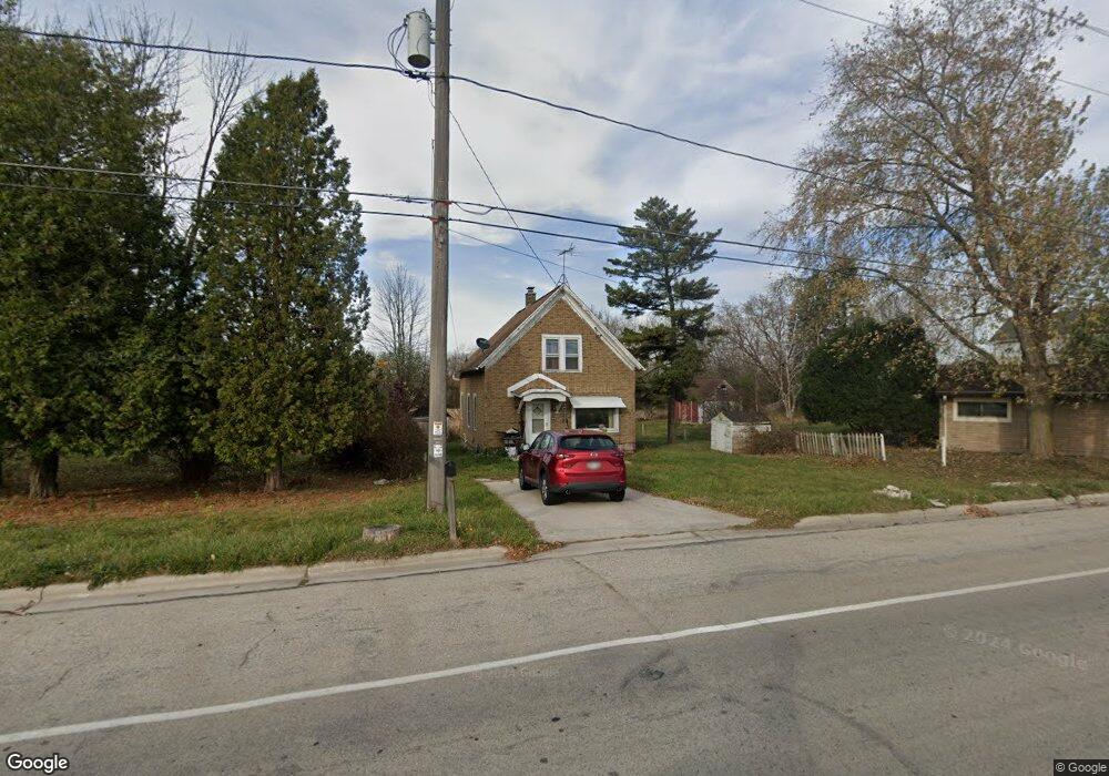
2018 Sunset Rd Port Washington, WI 53074
Estimated Value: $178,000 - $393,000
--
Bed
--
Bath
--
Sq Ft
0.29
Acres
About This Home
This home is located at 2018 Sunset Rd, Port Washington, WI 53074 and is currently estimated at $276,303. 2018 Sunset Rd is a home located in Ozaukee County with nearby schools including Dunwiddie Elementary School, Thomas Jefferson Middle School, and Port Washington High School.
Ownership History
Date
Name
Owned For
Owner Type
Purchase Details
Closed on
May 1, 2007
Sold by
Berndt Lucille L and Brunette Irene F
Bought by
Brunette Raymond A Brunette and Brunette Victoria A
Current Estimated Value
Home Financials for this Owner
Home Financials are based on the most recent Mortgage that was taken out on this home.
Original Mortgage
$100,000
Outstanding Balance
$60,960
Interest Rate
6.21%
Mortgage Type
Purchase Money Mortgage
Estimated Equity
$215,343
Create a Home Valuation Report for This Property
The Home Valuation Report is an in-depth analysis detailing your home's value as well as a comparison with similar homes in the area
Home Values in the Area
Average Home Value in this Area
Purchase History
| Date | Buyer | Sale Price | Title Company |
|---|---|---|---|
| Brunette Raymond A Brunette | $100,000 | None Available |
Source: Public Records
Mortgage History
| Date | Status | Borrower | Loan Amount |
|---|---|---|---|
| Open | Brunette Raymond A Brunette | $100,000 |
Source: Public Records
Tax History Compared to Growth
Tax History
| Year | Tax Paid | Tax Assessment Tax Assessment Total Assessment is a certain percentage of the fair market value that is determined by local assessors to be the total taxable value of land and additions on the property. | Land | Improvement |
|---|---|---|---|---|
| 2024 | $1,523 | $126,100 | $33,300 | $92,800 |
| 2023 | $1,483 | $126,100 | $33,300 | $92,800 |
| 2022 | $1,584 | $126,100 | $33,300 | $92,800 |
| 2021 | $1,508 | $126,100 | $33,300 | $92,800 |
| 2020 | $1,523 | $126,100 | $33,300 | $92,800 |
| 2019 | $1,527 | $105,800 | $29,000 | $76,800 |
| 2018 | $1,474 | $105,800 | $29,000 | $76,800 |
| 2017 | $1,483 | $105,800 | $29,000 | $76,800 |
| 2016 | $1,547 | $105,800 | $29,000 | $76,800 |
| 2015 | $1,533 | $105,800 | $29,000 | $76,800 |
| 2014 | $1,316 | $105,800 | $29,000 | $76,800 |
| 2013 | $1,468 | $118,100 | $30,000 | $88,100 |
Source: Public Records
Map
Nearby Homes
- 1000 S Spring St
- 498 Bastle Wynd - Unit 10
- 496 Bastle Wynd - Unit 9
- 732 Maritime Dr
- 736 Maritime Dr
- 733 Maritime Dr
- 1200 Shieling Ln
- 1194 Shieling Ln
- 1202 Shieling Ln
- 730 Maritime Dr
- 716 Maritime Dr
- 717 Maritime Dr
- 1142 Seana Wynd -
- 715 Maritime Dr
- 1082 Seanma Wynd
- 924 Westport Dr
- 723 Willow Ct
- 125 S Summit Dr
- 905 W Larabee St
- 480 W Grand Ave
- 790 Sunset Rd
- 2030 Sunset Rd
- 710 Sunset Rd
- 1070 Mineral Springs Dr
- 1074 Mineral Springs Dr Unit 1074
- 967 Mineral Springs Dr
- 1010 Sunset Rd
- 1010 Sunset Rd Unit 1010
- 834 S Spring St
- 655 S Park St
- 659 S Park St
- 671 S Park -
- Lt1 Maritime Dr Unit 6, Park
- Lt1 Maritime Dr Unit Lt1
- 744 S Spring St
- 812 S Spring St
- 734 S Spring St
- Lt3 S Spring St
- 1038 S Spring St Unit 1042
- 726 S Spring St