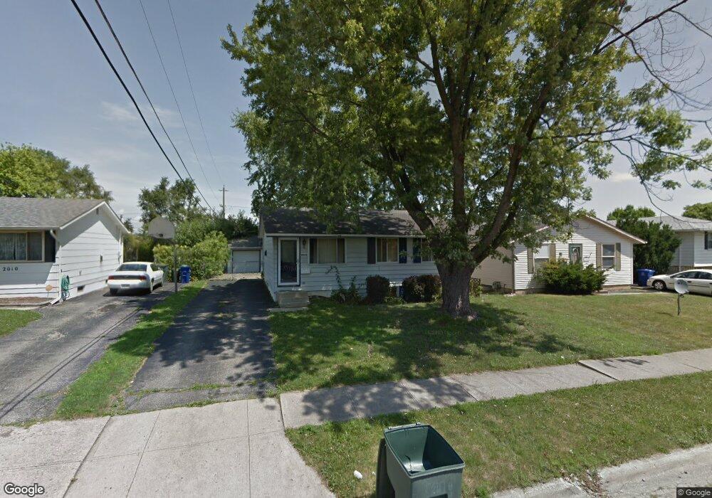
2018 Tupsfield Rd Columbus, OH 43229
Forest Park East NeighborhoodEstimated Value: $201,000 - $226,000
3
Beds
1
Bath
896
Sq Ft
$243/Sq Ft
Est. Value
About This Home
This home is located at 2018 Tupsfield Rd, Columbus, OH 43229 and is currently estimated at $217,873, approximately $243 per square foot. 2018 Tupsfield Rd is a home located in Franklin County with nearby schools including Forest Park Elementary School, Woodward Park Middle School, and Northland High School.
Ownership History
Date
Name
Owned For
Owner Type
Purchase Details
Closed on
Jan 23, 2017
Sold by
Core Development Llc
Bought by
Core Development 3 Llc
Current Estimated Value
Purchase Details
Closed on
Aug 2, 2016
Sold by
Bucci Darlene and The Huntington National Bank
Bought by
Core Developments Llc
Purchase Details
Closed on
Jun 1, 1995
Sold by
D'Orazio Louis
Bought by
Gary L Allen
Home Financials for this Owner
Home Financials are based on the most recent Mortgage that was taken out on this home.
Original Mortgage
$77,914
Interest Rate
8.26%
Mortgage Type
FHA
Purchase Details
Closed on
Nov 5, 1991
Purchase Details
Closed on
Dec 1, 1985
Create a Home Valuation Report for This Property
The Home Valuation Report is an in-depth analysis detailing your home's value as well as a comparison with similar homes in the area
Home Values in the Area
Average Home Value in this Area
Purchase History
| Date | Buyer | Sale Price | Title Company |
|---|---|---|---|
| Core Development 3 Llc | -- | Pm Title Box | |
| Core Developments Llc | $49,000 | None Available | |
| Gary L Allen | $79,500 | -- | |
| -- | $73,000 | -- | |
| -- | $44,000 | -- |
Source: Public Records
Mortgage History
| Date | Status | Borrower | Loan Amount |
|---|---|---|---|
| Previous Owner | Gary L Allen | $77,914 |
Source: Public Records
Tax History Compared to Growth
Tax History
| Year | Tax Paid | Tax Assessment Tax Assessment Total Assessment is a certain percentage of the fair market value that is determined by local assessors to be the total taxable value of land and additions on the property. | Land | Improvement |
|---|---|---|---|---|
| 2024 | $2,993 | $65,310 | $16,240 | $49,070 |
| 2023 | $2,956 | $65,310 | $16,240 | $49,070 |
| 2022 | $2,264 | $42,600 | $9,630 | $32,970 |
| 2021 | $2,268 | $42,600 | $9,630 | $32,970 |
| 2020 | $2,271 | $42,600 | $9,630 | $32,970 |
| 2019 | $2,000 | $32,170 | $7,140 | $25,030 |
| 2018 | $1,861 | $32,170 | $7,140 | $25,030 |
| 2017 | $1,939 | $32,170 | $7,140 | $25,030 |
| 2016 | $1,901 | $28,700 | $6,720 | $21,980 |
| 2015 | $1,726 | $28,700 | $6,720 | $21,980 |
| 2014 | $1,730 | $28,700 | $6,720 | $21,980 |
| 2013 | $898 | $30,205 | $7,070 | $23,135 |
Source: Public Records
Map
Nearby Homes
- 2084 Brookfield Rd
- 5726 Beechcroft Rd Unit J
- 5732 Beechcroft Rd Unit B
- 1881 Brimfield Rd
- 1914 Walden Dr
- 5578 Parkshire Dr Unit 5578
- 5556 Parkshire Dr Unit 5556
- 5522 Parkshire Dr Unit 5522
- 5485 Tamarack Blvd
- 1752 Pine Tree St S Unit H
- 5727 Tamarack Blvd Unit A
- 1743 Pine Tree St N Unit A
- 2250 Webster Canyon Ct
- 1722 Blue Ash Place
- 2294 Teakwood Dr
- 1687 Brookfield Square S
- 6019 Beechcroft Rd
- 5204 Honeytree Loop W
- 6048 Pinemoor St
- 2058 Northcliff Dr
- 2024 Tupsfield Rd
- 2010 Tupsfield Rd
- 2030 Tupsfield Rd
- 2002 Tupsfield Rd
- 2038 Tupsfield Rd
- 1996 Tupsfield Rd
- 2011 Tupsfield Rd
- 2044 Tupsfield Rd
- 2003 Tupsfield Rd
- 2031 Tupsfield Rd
- 1988 Tupsfield Rd
- 1997 Tupsfield Rd
- 2039 Tupsfield Rd
- 2050 Tupsfield Rd
- 1982 Tupsfield Rd
- 1991 Tupsfield Rd
- 2045 Tupsfield Rd
- 2032 Shawbury Ct W
- 2058 Tupsfield Rd
- 1998 Brimfield Ct