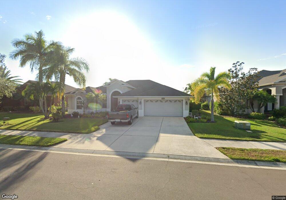
2019 128th Ave E Parrish, FL 34219
Estimated Value: $517,000 - $526,000
4
Beds
3
Baths
3,549
Sq Ft
$147/Sq Ft
Est. Value
About This Home
This home is located at 2019 128th Ave E, Parrish, FL 34219 and is currently estimated at $522,043, approximately $147 per square foot. 2019 128th Ave E is a home located in Manatee County with nearby schools including Annie Lucy Williams Elementary School, Buffalo Creek Middle School, and Parrish Community High School.
Ownership History
Date
Name
Owned For
Owner Type
Purchase Details
Closed on
Jul 3, 2007
Sold by
Morrison Homes Inc
Bought by
Makowsky Michael J and Makowksy Cheryl A
Current Estimated Value
Home Financials for this Owner
Home Financials are based on the most recent Mortgage that was taken out on this home.
Original Mortgage
$188,519
Outstanding Balance
$117,028
Interest Rate
6.37%
Mortgage Type
Purchase Money Mortgage
Estimated Equity
$405,015
Create a Home Valuation Report for This Property
The Home Valuation Report is an in-depth analysis detailing your home's value as well as a comparison with similar homes in the area
Home Values in the Area
Average Home Value in this Area
Purchase History
| Date | Buyer | Sale Price | Title Company |
|---|---|---|---|
| Makowsky Michael J | $326,600 | Alday Donalson Title Agencie |
Source: Public Records
Mortgage History
| Date | Status | Borrower | Loan Amount |
|---|---|---|---|
| Open | Makowsky Michael J | $188,519 |
Source: Public Records
Tax History
| Year | Tax Paid | Tax Assessment Tax Assessment Total Assessment is a certain percentage of the fair market value that is determined by local assessors to be the total taxable value of land and additions on the property. | Land | Improvement |
|---|---|---|---|---|
| 2025 | $2,660 | $222,154 | -- | -- |
| 2023 | $2,660 | $209,605 | $0 | $0 |
| 2022 | $2,578 | $203,500 | $0 | $0 |
| 2021 | $2,465 | $197,573 | $0 | $0 |
| 2020 | $2,479 | $194,845 | $0 | $0 |
| 2019 | $2,433 | $190,464 | $0 | $0 |
| 2018 | $2,404 | $186,913 | $0 | $0 |
| 2017 | $2,224 | $183,069 | $0 | $0 |
| 2016 | $2,215 | $179,304 | $0 | $0 |
Source: Public Records
Map
Nearby Homes
- 12644 20th St E
- 12647 20th St E
- 2411 129th Ave E
- 2419 129th Ave E
- 12806 24th Street Cir E
- 12840 24th Street Cir E
- 12807 24th Street Cir E
- 12847 24th Street Cir E
- 12823 24th Street Cir E
- 12516 24th St E
- 2515 130th Ave E
- 2218 132nd Place E
- 13209 22nd Ct E
- 12426 23rd St E
- 2803 130th Ave E
- 2811 130th Ave E
- 2915 126th Terrace E
- 12611 30th Street Cir E
- 3019 124th Ave E
- 1245 Mill Creek Rd
- 2105 128th Ave E
- 2015 128th Ave E
- 12806 21st St E
- 2018 128th Ave E
- 2018 E Ave
- 2109 128th Ave E
- 2011 128th Ave E
- 2014 128th Ave E
- 12815 21st St E
- 12724 20th St E
- 2010 128th Ave E
- 12814 21st St E
- 2006 128th Ave E
- 14215 20th St E
- 12819 21st St E
- 12716 20th St E
- 12731 24th Street Cir E
- 12818 21st St E
- 12727 24th Street Cir E
- 12735 24th Street Cir E
Your Personal Tour Guide
Ask me questions while you tour the home.