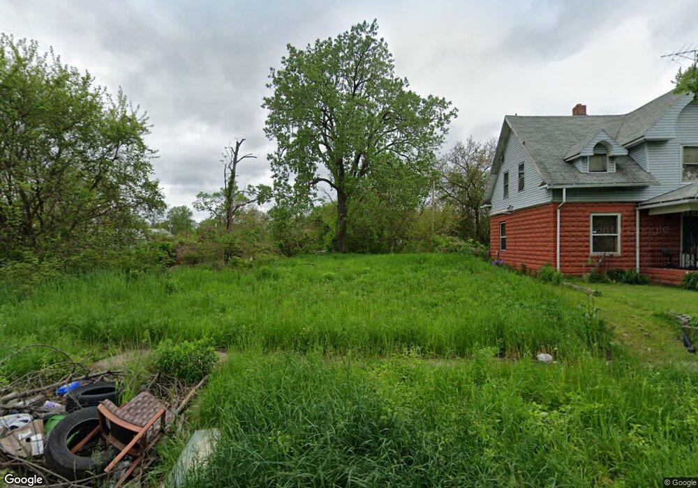
2019 Hawthorne St Toledo, OH 43606
Ottawa NeighborhoodEstimated Value: $187,000 - $197,000
--
Bed
1
Bath
--
Sq Ft
3,006
Sq Ft Lot
About This Home
This home is located at 2019 Hawthorne St, Toledo, OH 43606 and is currently estimated at $192,000. 2019 Hawthorne St is a home located in Lucas County with nearby schools including Jesup W. Scott High School, GESU Catholic School, and St. Francis de Sales School.
Ownership History
Date
Name
Owned For
Owner Type
Purchase Details
Closed on
Jun 4, 2024
Sold by
Isaac Teshauna L
Bought by
Williams Domnic
Current Estimated Value
Purchase Details
Closed on
Jun 2, 2005
Sold by
Woodard Teshauna
Bought by
Woodard Gregory D
Purchase Details
Closed on
Mar 24, 2005
Sold by
Woodward Teshauna L and Isaac Teshauna L
Bought by
Isaac Teshauna L
Home Financials for this Owner
Home Financials are based on the most recent Mortgage that was taken out on this home.
Original Mortgage
$51,000
Interest Rate
5.64%
Mortgage Type
New Conventional
Purchase Details
Closed on
Jun 18, 2001
Sold by
Woodard Calvin D
Bought by
Woodard Teshauna L
Purchase Details
Closed on
Mar 16, 1993
Sold by
Hill Willie James
Purchase Details
Closed on
Sep 30, 1991
Purchase Details
Closed on
Mar 19, 1991
Sold by
Robinson Patricia A
Create a Home Valuation Report for This Property
The Home Valuation Report is an in-depth analysis detailing your home's value as well as a comparison with similar homes in the area
Home Values in the Area
Average Home Value in this Area
Purchase History
| Date | Buyer | Sale Price | Title Company |
|---|---|---|---|
| Williams Domnic | $1,000 | None Listed On Document | |
| Woodard Gregory D | -- | -- | |
| Isaac Teshauna L | -- | -- | |
| Woodard Teshauna L | -- | -- | |
| -- | $19,700 | -- | |
| -- | -- | -- | |
| -- | -- | -- |
Source: Public Records
Mortgage History
| Date | Status | Borrower | Loan Amount |
|---|---|---|---|
| Previous Owner | Isaac Teshauna L | $51,000 |
Source: Public Records
Tax History Compared to Growth
Tax History
| Year | Tax Paid | Tax Assessment Tax Assessment Total Assessment is a certain percentage of the fair market value that is determined by local assessors to be the total taxable value of land and additions on the property. | Land | Improvement |
|---|---|---|---|---|
| 2024 | $18,857 | $1,050 | $1,050 | -- |
| 2023 | $147 | $1,050 | $1,050 | $0 |
| 2022 | $149 | $1,050 | $1,050 | $0 |
| 2021 | $147 | $1,050 | $1,050 | $0 |
| 2020 | $497 | $980 | $980 | $0 |
| 2019 | $154 | $980 | $980 | $0 |
| 2018 | $165 | $980 | $980 | $0 |
| 2017 | $7,693 | $945 | $945 | $0 |
| 2016 | $6,700 | $2,700 | $2,700 | $0 |
| 2015 | $169 | $2,700 | $2,700 | $0 |
| 2014 | $92 | $950 | $950 | $0 |
| 2013 | $61 | $950 | $950 | $0 |
Source: Public Records
Map
Nearby Homes
- 2026 Clinton St
- 2144 Hawthorne St
- 2004 Calumet Ave
- 1510 Lincoln Ave
- 1352 Prospect Ave
- 2242 Auburn Ave
- 1428 Freeman St
- 2114 Parkdale Ave
- 1812 Joffre Ave
- 2272 Rosedale Ave
- 1308 Grand Ave
- 1465 Milburn Ave
- 1749 Milburn Ave
- 1819 Oakwood Ave
- 1627 Fernwood Ave
- 1222 Lincoln Ave
- 2347 Rosedale Ave
- 1157 W Woodruff Ave
- 1929 Foster Ave
- 1522 Cone St
- 2021 Hawthorne St
- 2025 Hawthorne St
- 2029 Hawthorne St
- 2020 Hawthorne St
- 2024 Hawthorne St
- 2026 Hawthorne St
- 2014 Hawthorne St
- 2035 Hawthorne St
- 2020 Miles Ave
- 2032 Hawthorne St
- 2018 Miles Ave
- 2039 Hawthorne St
- 2024 Miles Ave
- 2040 Hawthorne St
- 2043 Hawthorne St
- 2030 Miles Ave
- 2025 Miles Ave
- 2032 Miles Ave
- 2045 Hawthorne St
- 2013 Miles Ave