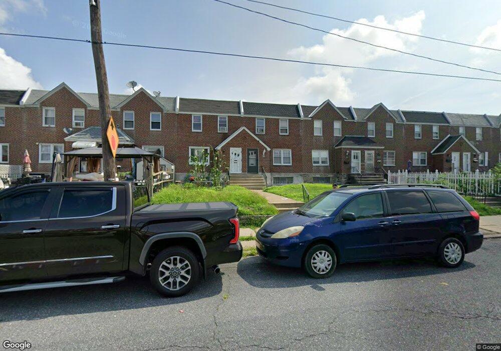
2019 Longshore Ave Philadelphia, PA 19149
Castor Gardens NeighborhoodEstimated Value: $204,000 - $248,000
3
Beds
1
Bath
1,236
Sq Ft
$184/Sq Ft
Est. Value
About This Home
This home is located at 2019 Longshore Ave, Philadelphia, PA 19149 and is currently estimated at $227,302, approximately $183 per square foot. 2019 Longshore Ave is a home located in Philadelphia County with nearby schools including Solomon Solis-Cohen School, Castor Gardens Middle School, and Northeast High School.
Ownership History
Date
Name
Owned For
Owner Type
Purchase Details
Closed on
Mar 19, 2021
Sold by
Astacio Judy
Bought by
Montalvo Hiram
Current Estimated Value
Home Financials for this Owner
Home Financials are based on the most recent Mortgage that was taken out on this home.
Original Mortgage
$127,200
Outstanding Balance
$114,597
Interest Rate
3%
Mortgage Type
New Conventional
Estimated Equity
$112,705
Purchase Details
Closed on
Aug 12, 1998
Sold by
Risler Eileen R
Bought by
Astacio Judy
Create a Home Valuation Report for This Property
The Home Valuation Report is an in-depth analysis detailing your home's value as well as a comparison with similar homes in the area
Home Values in the Area
Average Home Value in this Area
Purchase History
| Date | Buyer | Sale Price | Title Company |
|---|---|---|---|
| Montalvo Hiram | $159,000 | Germantown Title Company | |
| Astacio Judy | $60,900 | -- |
Source: Public Records
Mortgage History
| Date | Status | Borrower | Loan Amount |
|---|---|---|---|
| Open | Montalvo Hiram | $127,200 |
Source: Public Records
Tax History Compared to Growth
Tax History
| Year | Tax Paid | Tax Assessment Tax Assessment Total Assessment is a certain percentage of the fair market value that is determined by local assessors to be the total taxable value of land and additions on the property. | Land | Improvement |
|---|---|---|---|---|
| 2025 | $2,625 | $230,300 | $46,060 | $184,240 |
| 2024 | $2,625 | $230,300 | $46,060 | $184,240 |
| 2023 | $2,625 | $187,500 | $37,500 | $150,000 |
| 2022 | $2,625 | $187,500 | $37,500 | $150,000 |
| 2021 | $1,932 | $0 | $0 | $0 |
| 2020 | $1,932 | $0 | $0 | $0 |
| 2019 | $1,853 | $0 | $0 | $0 |
| 2018 | $1,740 | $0 | $0 | $0 |
| 2017 | $1,740 | $0 | $0 | $0 |
| 2016 | $1,740 | $0 | $0 | $0 |
| 2015 | $1,666 | $0 | $0 | $0 |
| 2014 | -- | $124,300 | $25,533 | $98,767 |
| 2012 | -- | $15,968 | $1,987 | $13,981 |
Source: Public Records
Map
Nearby Homes
- 2011 Longshore Ave
- 2110 Longshore Ave
- 2119 Glenview St
- 6826 Sylvester St
- 6725 Eastwood St
- 2171 Disston St
- 2169 Knorr St
- 7028 Horrocks St
- 6829 Horrocks St
- 2140 Princeton Ave
- 2162 Princeton Ave
- 7034 Souder St
- 7039 Kindred St
- 2105 Friendship St
- 2206 Princeton Ave
- 2248 Disston St
- 6834 Large St
- 6627 Oakland St
- 7153 Saul St
- 7155 Saul St
- 2017 Longshore Ave
- 2021 Longshore Ave
- 2023 Longshore Ave
- 2015 Longshore Ave
- 2025 Longshore Ave
- 2013 Longshore Ave
- 2027 Longshore Ave
- 2011 Longshore Ave
- 2009 Longshore Ave
- 2020 Disston St
- 2018 Disston St
- 2022 Disston St
- 2024 Disston St
- 2007 Longshore Ave
- 2031 Longshore Ave
- 2014 Disston St
- 2026 Disston St
- 2012 Disston St
- 2028 Disston St
- 2005 Longshore Ave