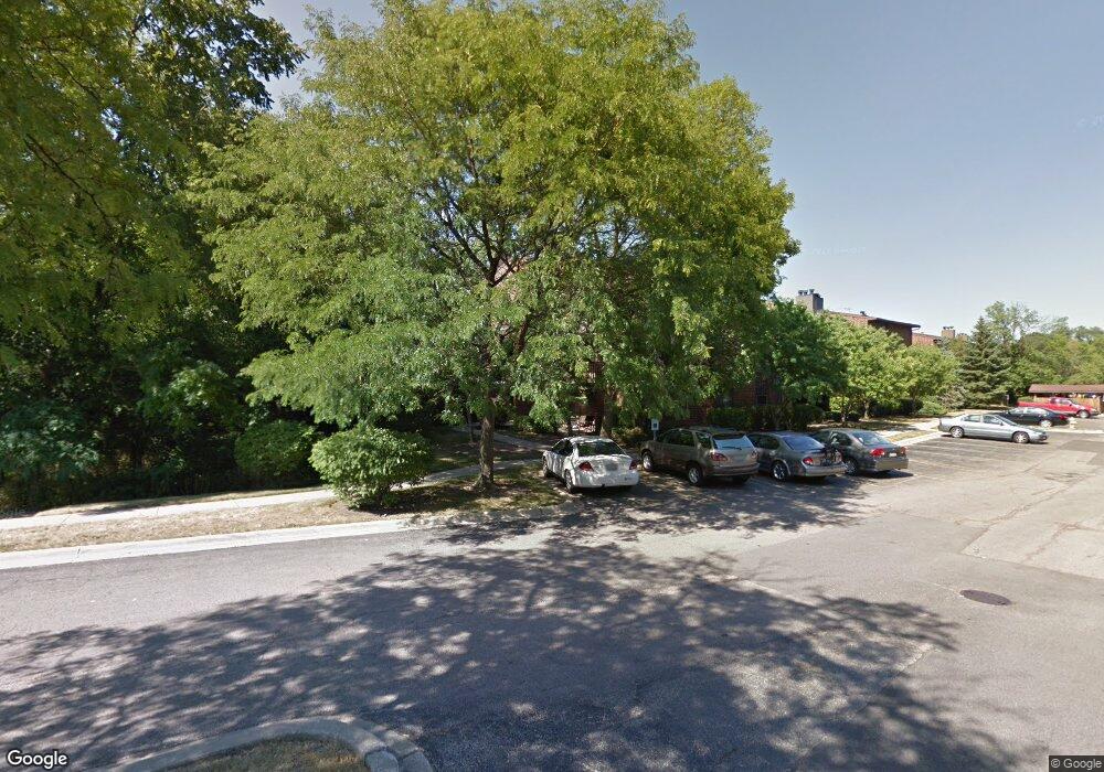
2019 N Main St Unit 102B Wheaton, IL 60187
Hawthorne NeighborhoodEstimated Value: $7,282,501
2
Beds
2
Baths
1,075
Sq Ft
$6,774/Sq Ft
Est. Value
About This Home
This home is located at 2019 N Main St Unit 102B, Wheaton, IL 60187 and is currently priced at $7,282,501, approximately $6,774 per square foot. 2019 N Main St Unit 102B is a home located in DuPage County with nearby schools including Washington Elementary School, Franklin Middle School, and Wheaton North High School.
Ownership History
Date
Name
Owned For
Owner Type
Purchase Details
Closed on
Mar 16, 2005
Sold by
The Willows Lp
Bought by
Willows Of Wheaton Llc and Petro Plus Inc
Current Estimated Value
Home Financials for this Owner
Home Financials are based on the most recent Mortgage that was taken out on this home.
Original Mortgage
$12,800,000
Outstanding Balance
$6,502,152
Interest Rate
5.64%
Mortgage Type
Commercial
Create a Home Valuation Report for This Property
The Home Valuation Report is an in-depth analysis detailing your home's value as well as a comparison with similar homes in the area
Home Values in the Area
Average Home Value in this Area
Purchase History
| Date | Buyer | Sale Price | Title Company |
|---|---|---|---|
| Willows Of Wheaton Llc | $4,800,000 | Ctic | |
| Willows Of Wheaton Llc | $11,200,000 | Ctic |
Source: Public Records
Mortgage History
| Date | Status | Borrower | Loan Amount |
|---|---|---|---|
| Open | Willows Of Wheaton Llc | $12,800,000 | |
| Closed | Willows Of Wheaton Llc | $12,800,000 |
Source: Public Records
Tax History Compared to Growth
Tax History
| Year | Tax Paid | Tax Assessment Tax Assessment Total Assessment is a certain percentage of the fair market value that is determined by local assessors to be the total taxable value of land and additions on the property. | Land | Improvement |
|---|---|---|---|---|
| 2024 | $338,255 | $5,248,171 | $1,904,992 | $3,343,179 |
| 2023 | $326,465 | $4,830,790 | $1,753,490 | $3,077,300 |
| 2022 | $316,172 | $4,565,400 | $1,657,160 | $2,908,240 |
| 2021 | $315,451 | $4,457,100 | $1,617,850 | $2,839,250 |
| 2020 | $314,602 | $4,415,590 | $1,602,780 | $2,812,810 |
| 2019 | $307,775 | $4,299,080 | $1,560,490 | $2,738,590 |
| 2018 | $304,676 | $4,206,540 | $1,166,720 | $3,039,820 |
| 2017 | $300,681 | $4,051,370 | $1,123,680 | $2,927,690 |
| 2016 | $297,291 | $3,889,560 | $1,078,800 | $2,810,760 |
| 2015 | $295,747 | $3,710,700 | $1,029,190 | $2,681,510 |
| 2014 | $284,552 | $3,509,440 | $973,370 | $2,536,070 |
| 2013 | $281,168 | $3,570,518 | $976,300 | $2,594,218 |
Source: Public Records
Map
Nearby Homes
- 1902 N Washington St
- 628 Belmont Ln
- 0 Ellis Ave
- 808 Bridle Ln
- 1115 N Main St
- 114 W Prairie Ave
- 462 S President St Unit 202
- 0N510 Gary Ave
- 25W275 Doris Ave
- 25W277 Doris Ave
- 0N649 Knollwood Dr
- 25W361 Doris Ave
- 312 E Lincoln Ave
- 921 & 933 N College Ave
- 0N105 Lot 1 Nepil Ave
- 0N105 Lot 2 Nepil Ave
- 719 N President St
- 1106 E North Path
- 1426 Preserve Dr Unit 30
- 1035 Quarry Ct Unit 9
- 2019 N Main St
- 2019 N Main St
- 309 Brookside Cir
- 311 Brookside Cir
- 307 Brookside Cir
- 1935 Kingsbrook Ct
- 1931 Kingsbrook Ct
- 305 Brookside Cir
- 1927 Kingsbrook Ct
- 1923 Kingsbrook Ct
- 313 Brookside Cir
- 1915 Kingsbrook Ct
- 303 Brookside Cir
- 1912 Kingsbrook Ct
- 301 Brookside Cir
- 1908 Kingsbrook Ct
- 315 Brookside Cir
- 1911 Kingsbrook Ct
- 1911 Kingsbrook Ct Unit N
- 314 Brookside Cir