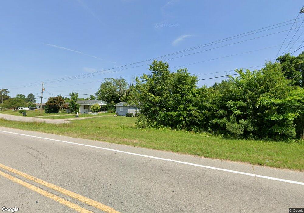
2019 Noland Rd E Wilson, NC 27893
Estimated Value: $127,000 - $177,000
2
Beds
2
Baths
1,468
Sq Ft
$101/Sq Ft
Est. Value
About This Home
This home is located at 2019 Noland Rd E, Wilson, NC 27893 and is currently estimated at $148,544, approximately $101 per square foot. 2019 Noland Rd E is a home located in Wilson County with nearby schools including Beddingfield High School, Gardners Elementary School, and Speight Middle School.
Ownership History
Date
Name
Owned For
Owner Type
Purchase Details
Closed on
Jun 12, 2007
Sold by
Varnell Betty Sue
Bought by
Aguerre Thomas Serrano and Serrano Simona M
Current Estimated Value
Home Financials for this Owner
Home Financials are based on the most recent Mortgage that was taken out on this home.
Original Mortgage
$54,500
Outstanding Balance
$33,294
Interest Rate
6.16%
Mortgage Type
New Conventional
Estimated Equity
$115,250
Create a Home Valuation Report for This Property
The Home Valuation Report is an in-depth analysis detailing your home's value as well as a comparison with similar homes in the area
Home Values in the Area
Average Home Value in this Area
Purchase History
| Date | Buyer | Sale Price | Title Company |
|---|---|---|---|
| Aguerre Thomas Serrano | $88,500 | None Available |
Source: Public Records
Mortgage History
| Date | Status | Borrower | Loan Amount |
|---|---|---|---|
| Open | Aguerre Thomas Serrano | $54,500 |
Source: Public Records
Tax History Compared to Growth
Tax History
| Year | Tax Paid | Tax Assessment Tax Assessment Total Assessment is a certain percentage of the fair market value that is determined by local assessors to be the total taxable value of land and additions on the property. | Land | Improvement |
|---|---|---|---|---|
| 2025 | $1,072 | $95,705 | $22,500 | $73,205 |
| 2024 | $1,072 | $95,705 | $22,500 | $73,205 |
| 2023 | $760 | $58,230 | $11,250 | $46,980 |
| 2022 | $683 | $52,355 | $11,250 | $41,105 |
| 2021 | $683 | $52,355 | $11,250 | $41,105 |
| 2020 | $683 | $52,355 | $11,250 | $41,105 |
| 2019 | $683 | $52,355 | $11,250 | $41,105 |
| 2018 | $683 | $52,355 | $11,250 | $41,105 |
| 2017 | $673 | $52,355 | $11,250 | $41,105 |
| 2016 | $673 | $52,355 | $11,250 | $41,105 |
| 2014 | $505 | $54,306 | $11,250 | $43,056 |
Source: Public Records
Map
Nearby Homes
- 2214 Banks Ln E
- 1933 Firestone Pkwy NE
- 1205 Toisnot Ave NE
- 1005 Toisnot Ave NE
- 2141 Firestone Pkwy NE
- 2110 Shamrock Dr E
- 2111 Fieldcrest Rd E
- 1003 Academy St E
- 511 Herring Ave NE
- 2004 Valley Cir E
- 5314 Ward Blvd
- 631 Vance St E
- 208 Tacoma St E
- 610 Crowell St E
- 607 Vance St E
- 307 Elba St E
- 1310 Washington St E
- 503 Anson St NE
- 208 Wainwright Ave E
- 405 Vick St E
- 2015 Noland Rd E
- 2101 Nc Highway 42 E
- 2009 Noland Rd E
- 2100 N Carolina 42
- 2100 Nc Highway 42 E
- 2100 Nc Highway 42 E
- 2007 Noland Rd E
- 2102 Nc Highway 42 E
- 2106 Nc Highway 42 E
- 2005 Noland Rd E
- 2001 Noland Rd E
- 2116 Nc Highway 42 E
- 3136 U S Highway 301 N
- 2120 Nc Highway 42 E
- 3330 Us Highway 301 N
- 3340 Us Highway 301 N
- 3340 U S Highway 301 N Unit Us 301
- 3340 U S Highway 301 N
- 2126 Nc Highway 42 E
- 1949 Poythress Rd