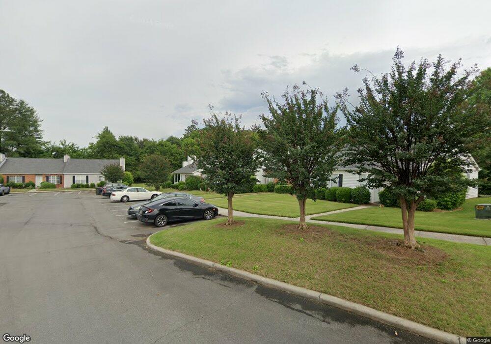
2019 Shields Rd Dalton, GA 30720
Estimated Value: $191,553 - $224,000
2
Beds
2
Baths
1,150
Sq Ft
$183/Sq Ft
Est. Value
About This Home
This home is located at 2019 Shields Rd, Dalton, GA 30720 and is currently estimated at $210,138, approximately $182 per square foot. 2019 Shields Rd is a home located in Whitfield County with nearby schools including Brookwood Elementary School, Dalton Middle School, and Dalton High School.
Ownership History
Date
Name
Owned For
Owner Type
Purchase Details
Closed on
Apr 30, 2014
Sold by
Bonds Jeaney D
Bought by
Black Lynda R
Current Estimated Value
Purchase Details
Closed on
Feb 19, 2004
Sold by
Shirley Brian C and Shirley Condelia M
Bought by
Black Charles M and Black Lynda R
Purchase Details
Closed on
Feb 4, 2004
Sold by
Lusk Barbara F and Lusk K
Bought by
Shirley Brian C and Shirley Condelia M
Purchase Details
Closed on
Jul 31, 2000
Sold by
Redwine Barbara P
Bought by
Shirley Brian and Duckworth Condelia
Purchase Details
Closed on
Jul 1, 1994
Bought by
Redwine Barbara P
Create a Home Valuation Report for This Property
The Home Valuation Report is an in-depth analysis detailing your home's value as well as a comparison with similar homes in the area
Home Values in the Area
Average Home Value in this Area
Purchase History
| Date | Buyer | Sale Price | Title Company |
|---|---|---|---|
| Black Lynda R | -- | -- | |
| Black Lynda R | -- | -- | |
| Black Charles M | $93,500 | -- | |
| Shirley Brian C | -- | -- | |
| Shirley Brian | $84,500 | -- | |
| Redwine Barbara P | $62,000 | -- |
Source: Public Records
Tax History Compared to Growth
Tax History
| Year | Tax Paid | Tax Assessment Tax Assessment Total Assessment is a certain percentage of the fair market value that is determined by local assessors to be the total taxable value of land and additions on the property. | Land | Improvement |
|---|---|---|---|---|
| 2024 | $222 | $74,538 | $0 | $74,538 |
| 2023 | $222 | $50,391 | $0 | $50,391 |
| 2022 | $143 | $39,656 | $0 | $39,656 |
| 2021 | $144 | $39,656 | $0 | $39,656 |
| 2020 | $136 | $36,351 | $0 | $36,351 |
| 2019 | $144 | $36,351 | $0 | $36,351 |
| 2018 | $141 | $35,139 | $5,040 | $30,099 |
| 2017 | $975 | $35,139 | $5,040 | $30,099 |
| 2016 | $924 | $33,660 | $5,040 | $28,620 |
| 2014 | $849 | $32,650 | $5,040 | $27,610 |
| 2013 | -- | $32,649 | $5,040 | $27,609 |
Source: Public Records
Map
Nearby Homes
- 1506 Summer Gate Way
- 1506 Summer Gate Way Unit 8
- 1934 Spring Chase Way
- 1482 Mineral Springs Rd
- 1922 Fairfield Dr
- 1498 Mineral Springs Rd
- 1704 Southmont Dr
- 1709 Dug Gap Rd
- 111 Broadview Terrace
- 00 Rio Vista Dr
- 1123 Ridgeleigh Cir
- 1913 Tara Place
- 1122 Ridgeleigh Cir
- 1117 Lakemont Dr
- 1608 Ryman Ridge Rd
- 1105 Desota Dr
- 1504 Belmont Dr
- 1230 Valencia Dr
- 0 Horizon Ct Unit 130497
- 0 Horizon Ct Unit 130499
- 2021 Shields Rd Unit 9
- 2017 Shields Rd Unit 7
- 2015 Shields Rd Unit 6
- 2023 Shields Rd
- 2013 Shields Rd
- 2025 Shields Rd Unit 11
- 2011 Shields Rd Unit 4
- 2009 Shields Rd Unit 3
- 1481 Westover Place
- 2027 Shields Rd Unit 12
- 1483 Westover Place Unit 28
- 1475 Westover Place Unit 30
- 2022 Shields Rd Unit 28
- 2024 Shields Rd Unit 27
- 1499 Westover Place
- 2007 Shields Rd
- 1473 Westover Place
- 1916 Shields Rd
- 2029 Shields Rd Unit 13
- 2026 Shields Rd Unit 26