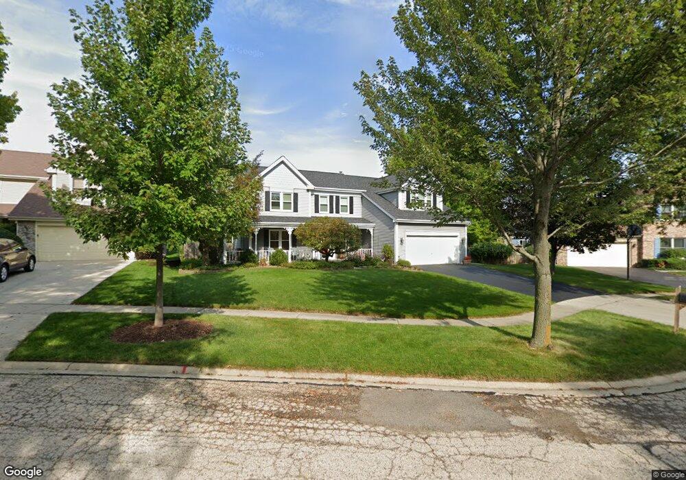
2019 Spaulding Ct West Dundee, IL 60118
Estimated Value: $448,714 - $515,000
4
Beds
--
Bath
2,683
Sq Ft
$178/Sq Ft
Est. Value
About This Home
This home is located at 2019 Spaulding Ct, West Dundee, IL 60118 and is currently estimated at $476,679, approximately $177 per square foot. 2019 Spaulding Ct is a home located in Kane County with nearby schools including Dundee Highlands Elementary School, Dundee Middle School, and Harry D Jacobs High School.
Ownership History
Date
Name
Owned For
Owner Type
Purchase Details
Closed on
Apr 27, 1995
Sold by
Wagstaff Todd A and Wagstaff Diane L
Bought by
Anders Mark A and Anders Laura A
Current Estimated Value
Home Financials for this Owner
Home Financials are based on the most recent Mortgage that was taken out on this home.
Original Mortgage
$185,520
Interest Rate
8.42%
Create a Home Valuation Report for This Property
The Home Valuation Report is an in-depth analysis detailing your home's value as well as a comparison with similar homes in the area
Home Values in the Area
Average Home Value in this Area
Purchase History
| Date | Buyer | Sale Price | Title Company |
|---|---|---|---|
| Anders Mark A | $232,000 | -- |
Source: Public Records
Mortgage History
| Date | Status | Borrower | Loan Amount |
|---|---|---|---|
| Closed | Anders Mark A | $185,520 |
Source: Public Records
Tax History Compared to Growth
Tax History
| Year | Tax Paid | Tax Assessment Tax Assessment Total Assessment is a certain percentage of the fair market value that is determined by local assessors to be the total taxable value of land and additions on the property. | Land | Improvement |
|---|---|---|---|---|
| 2024 | $10,364 | $135,153 | $25,730 | $109,423 |
| 2023 | $9,722 | $121,606 | $23,151 | $98,455 |
| 2022 | $9,563 | $114,551 | $23,151 | $91,400 |
| 2021 | $9,231 | $108,159 | $21,859 | $86,300 |
| 2020 | $9,061 | $105,728 | $21,368 | $84,360 |
| 2019 | $8,772 | $100,369 | $20,285 | $80,084 |
| 2018 | $9,309 | $103,607 | $19,883 | $83,724 |
| 2017 | $8,870 | $96,920 | $18,600 | $78,320 |
| 2016 | $9,073 | $94,137 | $23,811 | $70,326 |
| 2015 | -- | $88,210 | $22,312 | $65,898 |
| 2014 | -- | $85,774 | $21,696 | $64,078 |
| 2013 | -- | $88,399 | $22,360 | $66,039 |
Source: Public Records
Map
Nearby Homes
- 812 Lindsay Ln
- 816 Lindsay Ln
- 822 Lindsay Ln
- 825 Lindsay Ln
- 818 Lindsay Ln
- 814 Lindsay Ln
- Charlotte Plan at Hickory Glen
- Marianne Plan at Hickory Glen
- 829 Lindsay Ln
- 906 Shagbark Ln
- 902 Shagbark Ln
- 916 Shagbark Ln
- 823 Lindsay Ln
- 904 Shagbark Ln
- 910 Shagbark Ln Unit 1601
- 1715 W Main St
- 496 Edinburgh Ln
- 503 Edinburgh Ln
- 315 Spring Point Dr Unit 18315
- 1601 Higgins Rd
- 2015 Spaulding Ct Unit 2
- 2023 Spaulding Ct
- 850 Tartans Dr
- 838 Tartans Dr
- 860 Tartans Dr
- 826 Tartans Dr
- 2047 Spaulding Ct
- 2029 Spaulding Ct
- 812 Tartans Dr
- 2031 Spaulding Ct
- 2039 Spaulding Ct Unit 2
- 2024 Spaulding Ave
- 2014 Spaulding Ave
- 2038 Spaulding Ave
- 2006 Spaulding Ave
- 802 Tartans Dr
- 2046 Spaulding Ave
- 2053 Spaulding Ave
- 740 Green Castle Ct
- 2000 Spaulding Ave Unit 2