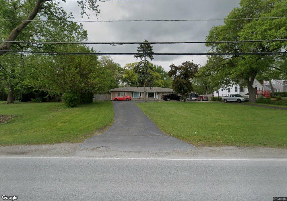
2019 Thornton Lansing Rd Lansing, IL 60438
Estimated Value: $196,000 - $260,000
4
Beds
2
Baths
1,928
Sq Ft
$121/Sq Ft
Est. Value
About This Home
This home is located at 2019 Thornton Lansing Rd, Lansing, IL 60438 and is currently estimated at $233,550, approximately $121 per square foot. 2019 Thornton Lansing Rd is a home located in Cook County with nearby schools including Oak Glen Elementary School, Memorial Jr High School, and Thornton Fractnl So High School.
Ownership History
Date
Name
Owned For
Owner Type
Purchase Details
Closed on
Sep 15, 2017
Sold by
Wells Fargo Bank N A
Bought by
Schell Lindsay E and Norman Donald A
Current Estimated Value
Purchase Details
Closed on
Jun 23, 2017
Sold by
Smith Violet and Smith Violet M
Bought by
Wells Fargo Bank N A
Purchase Details
Closed on
Feb 1, 2010
Sold by
Smith Violet M
Bought by
Livin Hale Joann M and Violet M Smith Revocable Living Trust
Purchase Details
Closed on
Dec 29, 2009
Sold by
Smith Violet M
Bought by
Smith Violet M
Purchase Details
Closed on
Apr 2, 2002
Sold by
Smith Violet M
Bought by
Smith Violet M
Create a Home Valuation Report for This Property
The Home Valuation Report is an in-depth analysis detailing your home's value as well as a comparison with similar homes in the area
Home Values in the Area
Average Home Value in this Area
Purchase History
| Date | Buyer | Sale Price | Title Company |
|---|---|---|---|
| Schell Lindsay E | $75,100 | Boston National Title Agency | |
| Wells Fargo Bank N A | -- | None Available | |
| Livin Hale Joann M | -- | None Available | |
| Smith Violet M | -- | None Available | |
| Smith Violet M | -- | -- |
Source: Public Records
Tax History Compared to Growth
Tax History
| Year | Tax Paid | Tax Assessment Tax Assessment Total Assessment is a certain percentage of the fair market value that is determined by local assessors to be the total taxable value of land and additions on the property. | Land | Improvement |
|---|---|---|---|---|
| 2024 | $3,378 | $12,701 | $9,101 | $3,600 |
| 2023 | $3,481 | $12,701 | $9,101 | $3,600 |
| 2022 | $3,481 | $10,672 | $8,030 | $2,642 |
| 2021 | $3,492 | $10,671 | $8,029 | $2,642 |
| 2020 | $3,330 | $10,671 | $8,029 | $2,642 |
| 2019 | $4,809 | $14,541 | $7,494 | $7,047 |
| 2018 | $4,762 | $14,541 | $7,494 | $7,047 |
| 2017 | $6,432 | $14,541 | $7,494 | $7,047 |
| 2016 | $5,392 | $12,417 | $6,959 | $5,458 |
| 2015 | $2,161 | $12,417 | $6,959 | $5,458 |
| 2014 | $2,109 | $12,417 | $6,959 | $5,458 |
| 2013 | $5,190 | $14,139 | $6,959 | $7,180 |
Source: Public Records
Map
Nearby Homes
- 2036 Thornton Lansing Rd
- 2201 Thornton Lansing Rd
- 17934 Locust St
- 17871 Locust St
- 17750 Clyde Ave
- 2290 182nd Place
- 1943 182nd St
- 18038 Whitman Ln
- 18309 Bock Rd
- 18307 Locust St
- 17001 Glen Oak Ave
- 2307 177th St
- 18005 Arcadia Ave
- 18020 Ridgeland Ave
- 18311 Holland Rd
- 18328 Country Ln
- 2306 Holiday Terrace Unit 144
- 2306 Holiday Terrace Unit 163
- 2306 Holiday Terrace Unit 146
- 18131 Crystal Ln
- 2015 Thornton Lansing Rd
- 2149 Thornton Lansing Rd
- 2013 Thornton Lansing Rd
- 2060 Indiana Ave
- 2020 Indiana Ave
- 2161 Thornton Lansing Rd
- 2038 Thornton Lansing Rd
- 2016 Indiana Ave
- 2012 Thornton Lansing Rd
- 2009 Thornton Lansing Rd
- 2009 Thornton Lansing Rd
- 2169 Thornton Lansing Rd
- 2010 Indiana Ave
- 2010 Thornton Lansing Rd
- 2168 Indiana Ave
- 2010 Thornton Rd
- 2162 Indiana Ave
- 2162 Indiana Ave
- 2014 Thornton Lansing Rd
- 2007 Thornton Lansing Rd