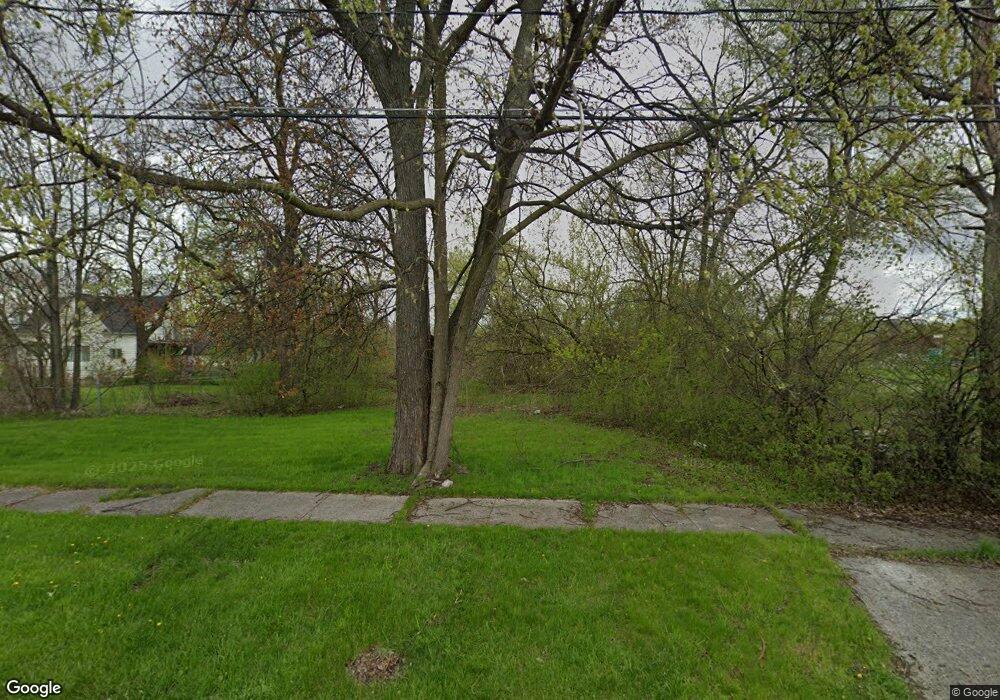
2019 Tuscola St Saginaw, MI 48601
Houghton Jones NeighborhoodEstimated Value: $148,000
--
Bed
--
Bath
--
Sq Ft
0.34
Acres
About This Home
This home is located at 2019 Tuscola St, Saginaw, MI 48601 and is currently estimated at $148,000. 2019 Tuscola St is a home located in Saginaw County with nearby schools including Thompson Middle School, Saginaw United High School, and Saginaw Learn To Earn Academy.
Ownership History
Date
Name
Owned For
Owner Type
Purchase Details
Closed on
Dec 6, 2011
Sold by
Saginaw County Treasurer
Bought by
Saginaw County Land Bank Authority
Current Estimated Value
Purchase Details
Closed on
Nov 19, 2007
Sold by
Saginaw County Treasurer 07
Bought by
Asel Corporation
Purchase Details
Closed on
Jun 29, 2005
Sold by
Desantis Bianca R
Bought by
Desantis Investment Properties Llc
Purchase Details
Closed on
Nov 20, 2003
Sold by
Dnr
Bought by
Desantis Bianca R
Purchase Details
Closed on
Mar 24, 2003
Sold by
Saginaw County
Bought by
Mi Dept Of Treasury
Purchase Details
Closed on
Mar 1, 2002
Sold by
Bethlehem Temple
Bought by
Saginaw County
Purchase Details
Closed on
Apr 14, 1989
Sold by
Dnr
Bought by
Forsberg Robert
Purchase Details
Closed on
Jun 1, 1982
Sold by
Mi Dept Of Treasury
Bought by
State Of Michigan
Create a Home Valuation Report for This Property
The Home Valuation Report is an in-depth analysis detailing your home's value as well as a comparison with similar homes in the area
Home Values in the Area
Average Home Value in this Area
Purchase History
| Date | Buyer | Sale Price | Title Company |
|---|---|---|---|
| Saginaw County Land Bank Authority | -- | -- | |
| Asel Corporation | $100 | -- | |
| Desantis Investment Properties Llc | -- | -- | |
| Desantis Bianca R | $200 | -- | |
| Desantis Bianca Rose | $1,650 | -- | |
| Mi Dept Of Treasury | -- | -- | |
| Saginaw County | -- | -- | |
| Forsberg Robert | $100 | -- | |
| State Of Michigan | -- | -- |
Source: Public Records
Tax History Compared to Growth
Tax History
| Year | Tax Paid | Tax Assessment Tax Assessment Total Assessment is a certain percentage of the fair market value that is determined by local assessors to be the total taxable value of land and additions on the property. | Land | Improvement |
|---|---|---|---|---|
| 2025 | -- | $0 | $0 | $0 |
| 2024 | -- | $0 | $0 | $0 |
| 2023 | -- | $0 | $0 | $0 |
| 2022 | $0 | $0 | $0 | $0 |
| 2021 | $0 | $0 | $0 | $0 |
| 2020 | $0 | $0 | $0 | $0 |
| 2019 | $0 | $0 | $0 | $0 |
| 2018 | $0 | $0 | $0 | $0 |
| 2017 | $0 | $0 | $0 | $0 |
| 2016 | -- | $0 | $0 | $0 |
| 2014 | -- | $0 | $0 | $0 |
| 2013 | -- | $0 | $0 | $0 |
Source: Public Records
Map
Nearby Homes
- 213 S 12th St
- 514 N 8th St
- 631 Cathay St
- 441 S 11th St
- 346 S 7th St
- 1346 Carlisle St
- 524 S 14th St
- 3361 Burt St
- 3 Harmony Ct
- 924 Federal Ave
- 1919 Perkins St
- 1103,1107,1111,1115 S Park Ave
- 2420 Bancroft St
- 915 Burt St
- 550 S Weadock Ave
- 824 N 26th St
- 436 S 27th St
- 440 S 28th St
- 1610 E Genesee Ave
- 644 S 26th St