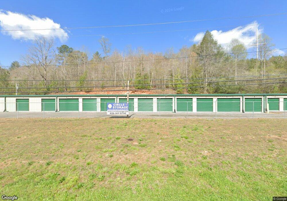
2019 U S 64 W Murphy, NC 28906
Estimated Value: $339,088
3
Beds
2
Baths
2,700
Sq Ft
$126/Sq Ft
Est. Value
About This Home
This home is located at 2019 U S 64 W, Murphy, NC 28906 and is currently estimated at $339,088, approximately $125 per square foot. 2019 U S 64 W is a home located in Cherokee County with nearby schools including Murphy Elementary School, Murphy Middle School, and Murphy High School.
Ownership History
Date
Name
Owned For
Owner Type
Purchase Details
Closed on
Apr 16, 2021
Sold by
Tri St Life Safety & Electric Systems In
Bought by
Rrg Properties Llc
Current Estimated Value
Purchase Details
Closed on
Nov 14, 2014
Sold by
Stephens Federal Bank
Bought by
Tri State Life Safety And Electric Syste
Home Financials for this Owner
Home Financials are based on the most recent Mortgage that was taken out on this home.
Original Mortgage
$104,000
Interest Rate
4%
Mortgage Type
Commercial
Purchase Details
Closed on
Jul 1, 2003
Bought by
Truett Robert D and Truett W
Create a Home Valuation Report for This Property
The Home Valuation Report is an in-depth analysis detailing your home's value as well as a comparison with similar homes in the area
Home Values in the Area
Average Home Value in this Area
Purchase History
| Date | Buyer | Sale Price | Title Company |
|---|---|---|---|
| Rrg Properties Llc | $245,000 | None Available | |
| Tri State Life Safety And Electric Syste | $130,000 | None Available | |
| Truett Robert D | $105,000 | -- |
Source: Public Records
Mortgage History
| Date | Status | Borrower | Loan Amount |
|---|---|---|---|
| Previous Owner | Tri State Life Safety And Electric Syste | $104,000 |
Source: Public Records
Tax History
| Year | Tax Paid | Tax Assessment Tax Assessment Total Assessment is a certain percentage of the fair market value that is determined by local assessors to be the total taxable value of land and additions on the property. | Land | Improvement |
|---|---|---|---|---|
| 2025 | $1,445 | $203,740 | $0 | $0 |
| 2024 | $14 | $203,740 | $0 | $0 |
| 2023 | -- | $203,740 | $0 | $0 |
| 2022 | $0 | $196,980 | $0 | $0 |
| 2021 | $0 | $176,810 | $86,400 | $90,410 |
| 2020 | $0 | $176,810 | $0 | $0 |
| 2019 | $876 | $141,500 | $0 | $0 |
| 2018 | $876 | $141,500 | $0 | $0 |
| 2017 | $0 | $141,500 | $0 | $0 |
| 2016 | $876 | $141,500 | $0 | $0 |
| 2015 | $1,675 | $141,500 | $77,760 | $63,740 |
| 2012 | -- | $370,700 | $285,000 | $85,700 |
Source: Public Records
Map
Nearby Homes
- 729 Canterbury Rd
- 0 Skyview Acres Dr Unit 153407
- 0 Skyview Acres Dr Unit 417622
- 22 Oak Top Dr
- 29 Oak Hill Dr
- 155 Linda Ln
- 28 Divine Dr
- 294 Linda Ln
- 42 Divine Dr
- 276 Linda Ln
- 270 Linda Ln
- 300 Linda Ln
- Lot 16 Divine Dr
- 96 Holiday Dr
- 420 W Ridge Dr
- Lot 40 Eagles Landing
- 12-4 Cardinal Rd
- 1033 Cardinal Rd
- Lot 7 Foothill Estates Ln
- Lot 14 Patriot Ridge
- 0 Canterbury Rd
- 2044 U S 64
- 2044 Hwy 64w
- 2052 W Us Highway 64
- 2044 W Us Highway 64
- 2088 U S 64 W
- 2080 U S Highway 64
- 2070 U S 64
- 2121 E U S Highway 64 Alternate
- 2104 W Us Hwy 64
- 2104 U S 64
- 81 Woodland Hills Dr
- 2128 U S 64
- 2138 W Us Highway 64
- 53 Woodland Hills Dr
- 1936 U S 64
- 1936 W Us Highway 64
- 215 Pioneer Dr
- 17&18 Pioneer Dr
- TBD Pioneer Dr
Your Personal Tour Guide
Ask me questions while you tour the home.