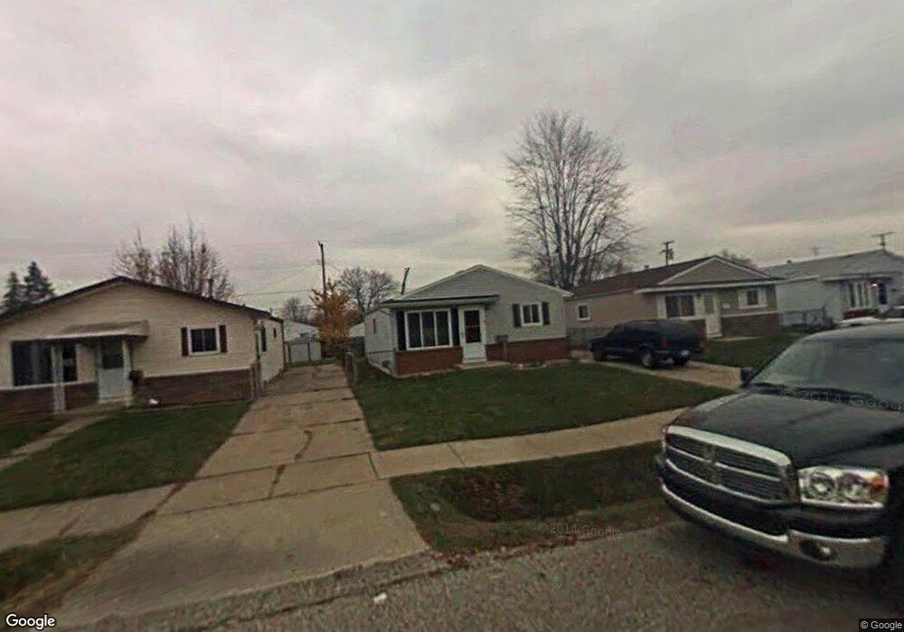
20190 Abrahm St Clinton Township, MI 48035
Estimated Value: $162,318 - $176,000
3
Beds
1
Bath
955
Sq Ft
$176/Sq Ft
Est. Value
About This Home
This home is located at 20190 Abrahm St, Clinton Township, MI 48035 and is currently estimated at $167,830, approximately $175 per square foot. 20190 Abrahm St is a home located in Macomb County with nearby schools including Clintondale High School and St. Thecla Catholic School.
Ownership History
Date
Name
Owned For
Owner Type
Purchase Details
Closed on
Jun 30, 2008
Sold by
Zynda Christopher John and Zynda Karen
Bought by
Lewis Finella L
Current Estimated Value
Purchase Details
Closed on
Jun 30, 2000
Sold by
Robert A Katoch
Bought by
Christopher J Zynda
Create a Home Valuation Report for This Property
The Home Valuation Report is an in-depth analysis detailing your home's value as well as a comparison with similar homes in the area
Home Values in the Area
Average Home Value in this Area
Purchase History
| Date | Buyer | Sale Price | Title Company |
|---|---|---|---|
| Lewis Finella L | $65,000 | Greater Macomb Title Agency | |
| Christopher J Zynda | $98,000 | -- |
Source: Public Records
Mortgage History
| Date | Status | Borrower | Loan Amount |
|---|---|---|---|
| Closed | Christopher J Zynda | -- |
Source: Public Records
Tax History Compared to Growth
Tax History
| Year | Tax Paid | Tax Assessment Tax Assessment Total Assessment is a certain percentage of the fair market value that is determined by local assessors to be the total taxable value of land and additions on the property. | Land | Improvement |
|---|---|---|---|---|
| 2025 | $1,484 | $73,100 | $0 | $0 |
| 2024 | $902 | $67,700 | $0 | $0 |
| 2023 | $856 | $61,700 | $0 | $0 |
| 2022 | $1,336 | $55,400 | $0 | $0 |
| 2021 | $1,300 | $51,200 | $0 | $0 |
| 2020 | $784 | $46,600 | $0 | $0 |
| 2019 | $1,217 | $38,700 | $0 | $0 |
| 2018 | $1,190 | $33,600 | $0 | $0 |
| 2017 | $1,179 | $29,600 | $5,500 | $24,100 |
| 2016 | $1,174 | $29,600 | $0 | $0 |
| 2015 | -- | $26,300 | $0 | $0 |
| 2014 | -- | $24,200 | $0 | $0 |
| 2011 | -- | $35,000 | $8,500 | $26,500 |
Source: Public Records
Map
Nearby Homes
- 20176 15 Mile Rd
- 20174 Abrahm St
- 20011 Abrahm St
- 20309 Abrahm St
- 0000 Garfield
- 20410 Woodward St
- 35403 Seville St
- 20550 Vermander Ave
- 34606 Beaconsfield St
- 19793 Electra St
- 19851 Kemp St
- 35501 Griswald St
- 34559 Chope Place
- 34161 Beaconsfield St
- 35685 Griswald St
- 35375 Groesbeck Hwy
- 34029 Little MacK Ave
- 20219 Finley St
- 20975 Catalano St
- 21132 Woodward St
- 20182 Abrahm St
- 20198 Abrahm St
- 20206 Abrahm St
- 20189 Vermander Ave
- 20197 Vermander Ave
- 20181 Vermander Ave
- 20214 Abrahm St
- 20166 Abrahm St
- 20173 Vermander Ave
- 20205 Vermander Ave
- 20207 Abrahm St
- 20158 Abrahm St
- 20211 Abrahm St
- 20215 Vermander Ave
- 20165 Vermander Ave
- 20215 Abrahm St
- 20219 Abrahm St
- 20223 Abrahm St
- 20227 Abrahm St
- 20157 Vermander Ave