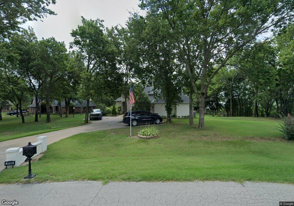
20190 E 72nd St N Owasso, OK 74055
Estimated Value: $564,000 - $646,000
4
Beds
3
Baths
2,921
Sq Ft
$207/Sq Ft
Est. Value
About This Home
This home is located at 20190 E 72nd St N, Owasso, OK 74055 and is currently estimated at $604,979, approximately $207 per square foot. 20190 E 72nd St N is a home located in Rogers County with nearby schools including Stone Canyon Elementary School, Owasso 6th Grade Center, and Owasso 8th Grade Center.
Ownership History
Date
Name
Owned For
Owner Type
Purchase Details
Closed on
Nov 9, 2006
Sold by
Sneed Guy Wayne and Sneed Catherine Ann
Bought by
Hamrick Matt V and Hamrick Penny L
Current Estimated Value
Home Financials for this Owner
Home Financials are based on the most recent Mortgage that was taken out on this home.
Original Mortgage
$272,000
Outstanding Balance
$161,522
Interest Rate
6.28%
Mortgage Type
New Conventional
Estimated Equity
$443,457
Purchase Details
Closed on
Apr 19, 2005
Sold by
Xite Homes Llc
Bought by
Wayne Guy and Sheed Cathy Ann
Home Financials for this Owner
Home Financials are based on the most recent Mortgage that was taken out on this home.
Original Mortgage
$247,200
Interest Rate
6.06%
Mortgage Type
New Conventional
Purchase Details
Closed on
Apr 10, 2003
Sold by
Kourtis Properies-Cooper~Ranch
Create a Home Valuation Report for This Property
The Home Valuation Report is an in-depth analysis detailing your home's value as well as a comparison with similar homes in the area
Home Values in the Area
Average Home Value in this Area
Purchase History
| Date | Buyer | Sale Price | Title Company |
|---|---|---|---|
| Hamrick Matt V | $340,000 | First American Title & Abstr | |
| Wayne Guy | $309,333 | None Available | |
| -- | $52,000 | -- |
Source: Public Records
Mortgage History
| Date | Status | Borrower | Loan Amount |
|---|---|---|---|
| Open | Hamrick Matt V | $272,000 | |
| Previous Owner | Wayne Guy | $247,200 |
Source: Public Records
Tax History Compared to Growth
Tax History
| Year | Tax Paid | Tax Assessment Tax Assessment Total Assessment is a certain percentage of the fair market value that is determined by local assessors to be the total taxable value of land and additions on the property. | Land | Improvement |
|---|---|---|---|---|
| 2024 | $5,093 | $49,490 | $11,231 | $38,259 |
| 2023 | $5,093 | $48,049 | $4,369 | $43,680 |
| 2022 | $4,932 | $49,537 | $6,600 | $42,937 |
| 2021 | $4,830 | $48,094 | $6,600 | $41,494 |
| 2020 | $4,741 | $47,309 | $6,600 | $40,709 |
| 2019 | $4,650 | $46,485 | $6,600 | $39,885 |
| 2018 | $4,487 | $45,627 | $6,600 | $39,027 |
| 2017 | $4,407 | $43,007 | $6,600 | $36,407 |
| 2016 | $4,221 | $41,755 | $6,600 | $35,155 |
| 2015 | $4,141 | $40,539 | $6,600 | $33,939 |
| 2014 | $4,032 | $39,358 | $6,600 | $32,758 |
Source: Public Records
Map
Nearby Homes
- 7311 N 202nd East Ave
- 7397 N 201st East Ave
- 19433 E 73rd Place N
- 6531 S Ridgeview Rd
- 19460 E Boulder Dr
- 6431 S Ridgeview
- 6941 Greenbriar Dr
- 18934 Chickadee Ct
- 19108 E Twin Creeks Dr
- 6940 N Garden Stone Ln
- 19236 E Twin Creeks Dr
- 6270 N Creekwood Dr
- 6352 N Twin Creeks Dr
- 6334 N Dogwood Trail
- 19021 E Chokeberry St
- 18634 E 80th St N
- 0 E 525 Rd Unit 2536389
- 5961 N Meadows Ridge Rd
- 18420 E Persimmon Ln
- 5870 N River Birch Rd
- 20210 E 72nd St N
- 20160 E 72nd St N
- 20160 E 72nd
- 7208 N 202nd East Ave
- 20230 E 72nd St N
- 20140 E 72nd St N
- 20235 E 72nd St N
- 7221 N 202nd East Ave
- 7248 N 202nd East Ave
- 7221 N 202nd Ave E
- 20250 E 72nd
- 20125 E 72nd St N
- 7251 N 202nd East Ave
- 20255 E 72nd St N
- 20270 E 72nd St N
- 7288 N 202nd East Ave
- 20090 E 72nd St N
- 7247 N 201st East Ave
- 7291 N 202nd East Ave
- 20295 E 72nd St N