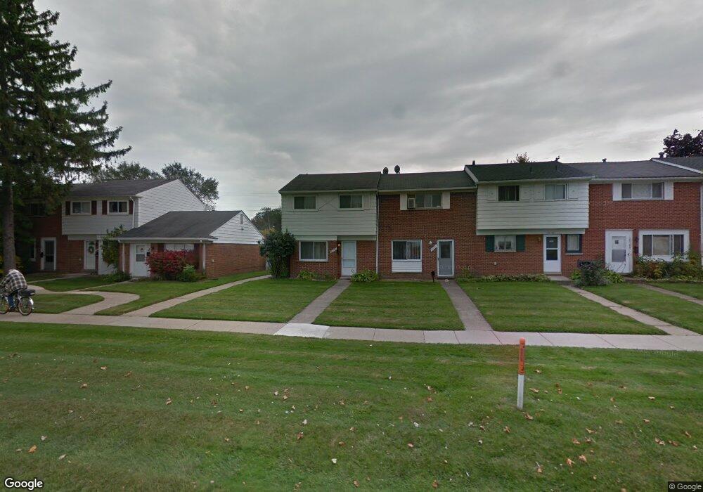
20192 15 Mile Rd Unit Bldg-Unit Clinton Township, MI 48035
Estimated Value: $70,000 - $93,172
2
Beds
2
Baths
931
Sq Ft
$89/Sq Ft
Est. Value
About This Home
This home is located at 20192 15 Mile Rd Unit Bldg-Unit, Clinton Township, MI 48035 and is currently estimated at $82,793, approximately $88 per square foot. 20192 15 Mile Rd Unit Bldg-Unit is a home located in Macomb County with nearby schools including Clintondale High School and St. Thecla Catholic School.
Ownership History
Date
Name
Owned For
Owner Type
Purchase Details
Closed on
Dec 21, 2017
Sold by
Ingles Frank and Caporuscio Gerald
Bought by
Rice Katrina E and Rice Michelle E
Current Estimated Value
Purchase Details
Closed on
Oct 7, 2009
Sold by
Ingles Frank
Bought by
Ingles Frank and Caporuscio Gerald
Purchase Details
Closed on
Oct 6, 2006
Sold by
Hopkins Gary
Bought by
Jpmorgan Chase Bank
Purchase Details
Closed on
Aug 11, 2005
Sold by
Hopkins Gary and Hopkins Jo Ann
Bought by
Condo Townhouses Llc
Purchase Details
Closed on
Dec 19, 2002
Sold by
Weir Linville M
Bought by
Hopkins Gary
Create a Home Valuation Report for This Property
The Home Valuation Report is an in-depth analysis detailing your home's value as well as a comparison with similar homes in the area
Home Values in the Area
Average Home Value in this Area
Purchase History
| Date | Buyer | Sale Price | Title Company |
|---|---|---|---|
| Rice Katrina E | $45,000 | First Title & Escrow Inc | |
| Ingles Frank | -- | None Available | |
| Jpmorgan Chase Bank | $51,200 | None Available | |
| Condo Townhouses Llc | -- | -- | |
| Hopkins Gary | $35,900 | -- |
Source: Public Records
Tax History Compared to Growth
Tax History
| Year | Tax Paid | Tax Assessment Tax Assessment Total Assessment is a certain percentage of the fair market value that is determined by local assessors to be the total taxable value of land and additions on the property. | Land | Improvement |
|---|---|---|---|---|
| 2025 | $959 | $36,300 | $0 | $0 |
| 2024 | $589 | $34,600 | $0 | $0 |
| 2023 | $559 | $29,400 | $0 | $0 |
| 2022 | $865 | $27,500 | $0 | $0 |
| 2021 | $1,243 | $23,200 | $0 | $0 |
| 2020 | $922 | $21,200 | $0 | $0 |
| 2019 | $787 | $19,200 | $0 | $0 |
| 2018 | $770 | $16,600 | $0 | $0 |
| 2017 | $897 | $15,400 | $3,000 | $12,400 |
| 2016 | $891 | $15,400 | $0 | $0 |
| 2015 | -- | $13,600 | $0 | $0 |
| 2014 | -- | $14,000 | $0 | $0 |
| 2011 | -- | $20,100 | $0 | $20,100 |
Source: Public Records
Map
Nearby Homes
- 20176 15 Mile Rd
- 20174 Abrahm St
- 20011 Abrahm St
- 20309 Abrahm St
- 0000 Garfield
- 20410 Woodward St
- 35403 Seville St
- 20550 Vermander Ave
- 34606 Beaconsfield St
- 19793 Electra St
- 35501 Griswald St
- 19851 Kemp St
- 34559 Chope Place
- 35685 Griswald St
- 34161 Beaconsfield St
- 35375 Groesbeck Hwy
- 34029 Little MacK Ave
- 20975 Catalano St
- 20219 Finley St
- 21132 Woodward St
- 20192 15 Mile Rd
- 20196 15 Mile Rd
- 20188 15 Mile Rd
- 20184 15 Mile Rd
- 20210 15 Mile Rd
- 20182 15 Mile Rd
- 20214 15 Mile Rd
- 20180 15 Mile Rd
- 20155 Merle Ct
- 20218 15 Mile Rd
- 20151 Merle Ct
- 20149 Merle Ct
- 20145 Merle Ct
- 20222 15 Mile Rd
- 20222 15 Mile Rd Unit 215
- 20141 Merle Ct
- 20139 Merle Ct
- 20226 15 Mile Rd
- 20168 15 Mile Rd
- 20263 15 Mile Rd