--
Bed
--
Bath
2,500
Sq Ft
1.81
Acres
About This Home
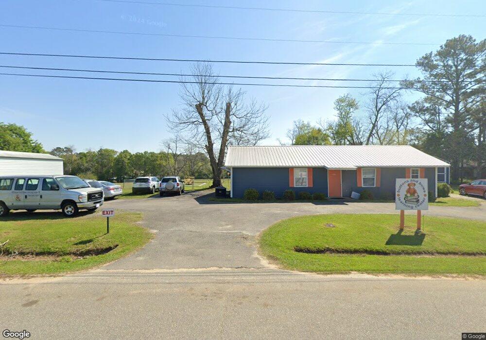
This home is located at 202 21st St NE, Cairo, GA 39828. 202 21st St NE is a home located in Grady County with nearby schools including Cairo High School.
Ownership History
Date
Name
Owned For
Owner Type
Purchase Details
Closed on
Nov 6, 2015
Sold by
Capital City Bank
Bought by
Norton Clayton L and Norton Cindy J
Purchase Details
Closed on
May 5, 2014
Sold by
Brackin Walter E
Bought by
Capital City Bank
Purchase Details
Closed on
Mar 4, 2014
Sold by
Capital City Bank
Bought by
Capital City Bank
Purchase Details
Closed on
Aug 7, 2003
Bought by
Brackin Walter E
Purchase Details
Closed on
Mar 6, 1992
Bought by
Griner Danny L
Create a Home Valuation Report for This Property
The Home Valuation Report is an in-depth analysis detailing your home's value as well as a comparison with similar homes in the area
Home Values in the Area
Average Home Value in this Area
Purchase History
| Date | Buyer | Sale Price | Title Company |
|---|---|---|---|
| Norton Clayton L | $150,000 | -- | |
| Capital City Bank | -- | -- | |
| Capital City Bank | $185,000 | -- | |
| Brackin Walter E | $150,000 | -- | |
| Griner Danny L | $15,800 | -- |
Source: Public Records
Tax History Compared to Growth
Tax History
| Year | Tax Paid | Tax Assessment Tax Assessment Total Assessment is a certain percentage of the fair market value that is determined by local assessors to be the total taxable value of land and additions on the property. | Land | Improvement |
|---|---|---|---|---|
| 2024 | $5,127 | $129,943 | $41,280 | $88,663 |
| 2023 | $2,788 | $75,320 | $38,200 | $37,120 |
| 2022 | $2,900 | $75,320 | $38,200 | $37,120 |
| 2021 | $2,831 | $73,320 | $36,200 | $37,120 |
| 2020 | $2,838 | $73,320 | $36,200 | $37,120 |
| 2019 | $2,837 | $73,320 | $36,200 | $37,120 |
| 2018 | $2,697 | $73,320 | $36,200 | $37,120 |
| 2017 | $2,594 | $73,320 | $36,200 | $37,120 |
| 2016 | $2,653 | $73,320 | $36,200 | $37,120 |
| 2015 | $2,626 | $73,320 | $36,200 | $37,120 |
| 2014 | $2,627 | $73,320 | $36,200 | $37,120 |
| 2013 | -- | $73,320 | $36,200 | $37,120 |
Source: Public Records
Map
Nearby Homes
- 0 20th St NE
- 00 20th St NE
- 66 22nd St NE
- 2600 U S 84
- 21 24th St NE
- 78.6 Ac Strickland Rd
- 00 NW 9th Ave
- 0 NE Airport Rd Unit 145784
- 711 2nd Ave NE
- 00 State Route 188
- 0 State Route 188
- 471 4th St SE
- 530 6th Ave SE
- 481 4th St SE
- 4761 Hadley Ferry Rd
- 309 3rd St SE
- 2975 U S 84
- 602 4th St SE
- 225 Helton Ln
- 530 6th St
- 224 21st St NE
- 228 21st St NE
- 238 21st St NE
- 242 21st St NE
- 180 21st St NE
- 2051 2nd Ave NE
- 00 21st St
- 246 21st St NE
- 250 21st St NE
- 2189 U S 84
- 2189 Us Highway 84 E
- 254 21st St NE
- 301 Pavillion Rd
- 401 Pavillion Rd
- 121 21st St NE
- 2207 Us Highway 84 E
- 15.2 Acr 20th St NE
- 2190 Us Highway 84 E
- 304 Pavillion Rd
- 91 22nd St NE