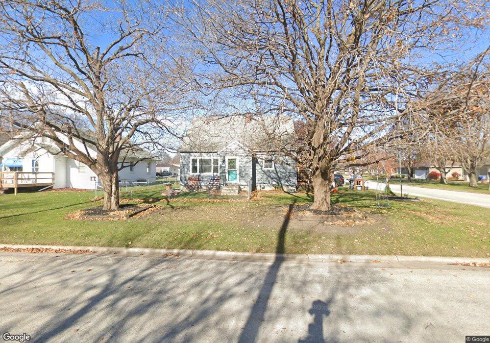
202 5th St Allison, IA 50602
Estimated Value: $112,000 - $133,000
2
Beds
1
Bath
1,339
Sq Ft
$93/Sq Ft
Est. Value
About This Home
This home is located at 202 5th St, Allison, IA 50602 and is currently estimated at $123,974, approximately $92 per square foot. 202 5th St is a home with nearby schools including North Butler Elementary and North Butler Junior/Senior High School.
Ownership History
Date
Name
Owned For
Owner Type
Purchase Details
Closed on
Jan 7, 2010
Sold by
Groen Gwen R and Groen William
Bought by
Hewitt Amanda L
Current Estimated Value
Home Financials for this Owner
Home Financials are based on the most recent Mortgage that was taken out on this home.
Original Mortgage
$62,220
Outstanding Balance
$40,191
Interest Rate
4.87%
Mortgage Type
New Conventional
Estimated Equity
$83,783
Create a Home Valuation Report for This Property
The Home Valuation Report is an in-depth analysis detailing your home's value as well as a comparison with similar homes in the area
Purchase History
We collect this data history from publicly available records. To have your information removed, we recommend requesting removal directly through your county’s website.
| Date | Buyer | Sale Price | Title Company |
|---|---|---|---|
| Hewitt Amanda L | $61,000 | None Available |
Source: Public Records
Mortgage History
We collect this data history from publicly available records. To have your information removed, we recommend requesting removal directly through your county’s website.
| Date | Status | Borrower | Loan Amount |
|---|---|---|---|
| Open | Hewitt Amanda L | $62,220 |
Source: Public Records
Tax History
| Year | Tax Paid | Tax Assessment Tax Assessment Total Assessment is a certain percentage of the fair market value that is determined by local assessors to be the total taxable value of land and additions on the property. | Land | Improvement |
|---|---|---|---|---|
| 2025 | $1,480 | $93,290 | $9,360 | $83,930 |
| 2024 | $1,480 | $95,240 | $9,360 | $85,880 |
| 2023 | $1,458 | $95,240 | $9,360 | $85,880 |
| 2022 | $1,384 | $84,050 | $9,360 | $74,690 |
| 2021 | $1,348 | $84,050 | $9,360 | $74,690 |
| 2020 | $1,348 | $75,530 | $9,360 | $66,170 |
| 2019 | $1,242 | $70,210 | $0 | $0 |
| 2018 | $1,322 | $70,210 | $0 | $0 |
| 2017 | $1,322 | $70,210 | $0 | $0 |
| 2016 | $1,300 | $67,170 | $0 | $0 |
| 2015 | $1,300 | $67,170 | $0 | $0 |
| 2014 | $1,286 | $67,170 | $0 | $0 |
Source: Public Records
Map
Nearby Homes
Your Personal Tour Guide
Ask me questions while you tour the home.