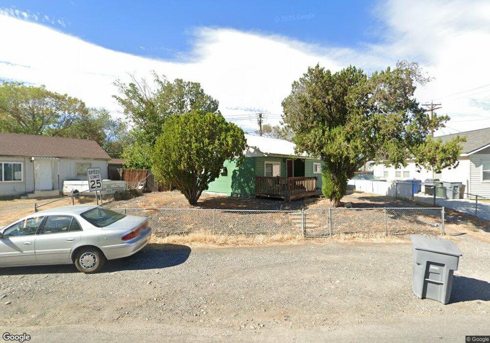
202 Adams St Richland, WA 99352
Estimated Value: $226,000 - $352,000
3
Beds
1
Bath
609
Sq Ft
$452/Sq Ft
Est. Value
About This Home
This home is located at 202 Adams St, Richland, WA 99352 and is currently estimated at $275,250, approximately $451 per square foot. 202 Adams St is a home located in Benton County with nearby schools including Lewis & Clark Elementary School, Carmichael Middle School, and Richland High School.
Ownership History
Date
Name
Owned For
Owner Type
Purchase Details
Closed on
Jun 11, 1997
Sold by
Shaffer Jeannine May and Hogan Anita Joyce
Bought by
Walsh Ricky J
Current Estimated Value
Home Financials for this Owner
Home Financials are based on the most recent Mortgage that was taken out on this home.
Original Mortgage
$171,000
Interest Rate
5.61%
Mortgage Type
Construction
Create a Home Valuation Report for This Property
The Home Valuation Report is an in-depth analysis detailing your home's value as well as a comparison with similar homes in the area
Home Values in the Area
Average Home Value in this Area
Purchase History
| Date | Buyer | Sale Price | Title Company |
|---|---|---|---|
| Walsh Ricky J | $28,795 | None Available |
Source: Public Records
Mortgage History
| Date | Status | Borrower | Loan Amount |
|---|---|---|---|
| Previous Owner | Walsh Ricky J | $171,000 |
Source: Public Records
Tax History Compared to Growth
Tax History
| Year | Tax Paid | Tax Assessment Tax Assessment Total Assessment is a certain percentage of the fair market value that is determined by local assessors to be the total taxable value of land and additions on the property. | Land | Improvement |
|---|---|---|---|---|
| 2024 | $1,633 | $188,170 | $50,000 | $138,170 |
| 2023 | $1,633 | $171,420 | $50,000 | $121,420 |
| 2022 | $1,500 | $163,050 | $50,000 | $113,050 |
| 2021 | $1,462 | $133,740 | $50,000 | $83,740 |
| 2020 | $1,302 | $125,370 | $50,000 | $75,370 |
| 2019 | $1,112 | $105,350 | $22,000 | $83,350 |
| 2018 | $1,093 | $96,720 | $22,000 | $74,720 |
| 2017 | $939 | $79,480 | $22,000 | $57,480 |
| 2016 | $939 | $79,480 | $22,000 | $57,480 |
| 2015 | $956 | $79,480 | $22,000 | $57,480 |
| 2014 | -- | $79,480 | $22,000 | $57,480 |
| 2013 | -- | $79,480 | $22,000 | $57,480 |
Source: Public Records
Map
Nearby Homes
- 305 George Washington Way
- 505 Adams St
- 600 Adams St
- 502 Abbot St
- 303 Bernard Ave
- 400 Barth Ave
- 709 Comstock St
- 213 Casey Ave
- 162 Bradley Blvd
- 300 Columbia Point Dr Unit D101
- 1006 Adams St
- 316 Columbia Point Dr Unit 316
- 386 Columbia Point Dr Unit 201
- 386 Columbia Point Dr Unit 202
- 504 Douglass Ave
- 2377 Maggio Loop
- 1088 Makah Ct
- 442 War Room Ct
- 1416 Agnes St
- 211 Wright Ave
- 204 Adams St
- 135 Benham St
- 206 Adams St
- 125 Benham St
- 101 George Washington Way
- 103 George Washington Way
- 208 Adams St
- 115 Benham St
- 203 Adams St
- 201 Adams St
- 205 Adams St
- 167 Benham St
- 210 Adams St
- 119 Benham St
- 207 Adams St
- 187 Benham St
- 107 George Washington Way
- 209 Adams St
- 197 Benham St
- 100 Armistead Ave