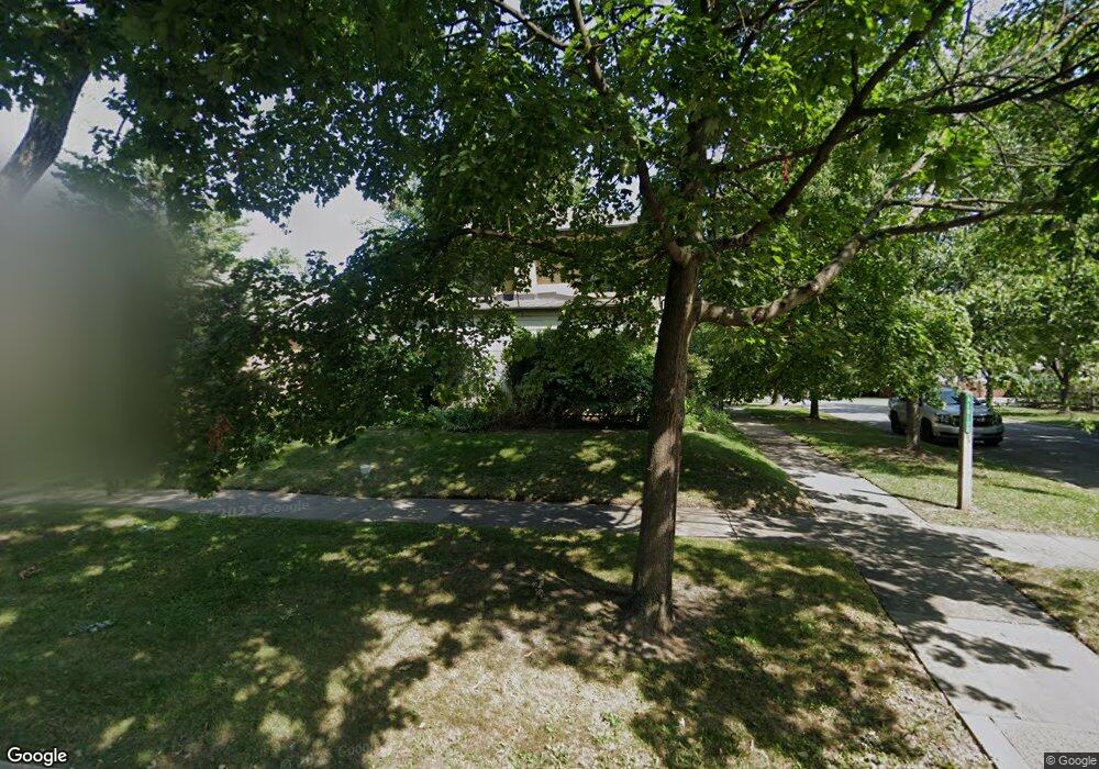
202 Albion Ave Park Ridge, IL 60068
Estimated Value: $561,398 - $698,000
3
Beds
2
Baths
1,766
Sq Ft
$343/Sq Ft
Est. Value
About This Home
This home is located at 202 Albion Ave, Park Ridge, IL 60068 and is currently estimated at $605,350, approximately $342 per square foot. 202 Albion Ave is a home located in Cook County with nearby schools including Theodore Roosevelt Elementary School, Lincoln Middle School, and Maine South High School.
Ownership History
Date
Name
Owned For
Owner Type
Purchase Details
Closed on
Oct 5, 2004
Sold by
Dumond Ruth
Bought by
Chicago Title Land Trust Co and First State Bank & Trust Co Of Park Rdg
Current Estimated Value
Home Financials for this Owner
Home Financials are based on the most recent Mortgage that was taken out on this home.
Original Mortgage
$333,000
Interest Rate
5.84%
Mortgage Type
Unknown
Purchase Details
Closed on
Sep 29, 2004
Sold by
Chicago Title Land Trust Co
Bought by
Miller Michael N
Home Financials for this Owner
Home Financials are based on the most recent Mortgage that was taken out on this home.
Original Mortgage
$333,000
Interest Rate
5.84%
Mortgage Type
Unknown
Create a Home Valuation Report for This Property
The Home Valuation Report is an in-depth analysis detailing your home's value as well as a comparison with similar homes in the area
Home Values in the Area
Average Home Value in this Area
Purchase History
| Date | Buyer | Sale Price | Title Company |
|---|---|---|---|
| Chicago Title Land Trust Co | -- | Ticor Title Insurance Compan | |
| Miller Michael N | $435,000 | Ticor Title Insurance Compan |
Source: Public Records
Mortgage History
| Date | Status | Borrower | Loan Amount |
|---|---|---|---|
| Previous Owner | Miller Michael N | $333,000 |
Source: Public Records
Tax History
| Year | Tax Paid | Tax Assessment Tax Assessment Total Assessment is a certain percentage of the fair market value that is determined by local assessors to be the total taxable value of land and additions on the property. | Land | Improvement |
|---|---|---|---|---|
| 2025 | $11,626 | $56,000 | $12,140 | $43,860 |
| 2024 | $11,626 | $46,151 | $10,319 | $35,832 |
| 2023 | $11,485 | $47,582 | $10,319 | $37,263 |
| 2022 | $11,485 | $47,582 | $10,319 | $37,263 |
| 2021 | $12,430 | $44,199 | $6,373 | $37,826 |
| 2020 | $12,003 | $44,199 | $6,373 | $37,826 |
| 2019 | $11,765 | $48,571 | $6,373 | $42,198 |
| 2018 | $10,713 | $40,871 | $5,463 | $35,408 |
| 2017 | $10,685 | $40,871 | $5,463 | $35,408 |
| 2016 | $10,529 | $40,871 | $5,463 | $35,408 |
| 2015 | $10,528 | $36,758 | $4,552 | $32,206 |
| 2014 | $10,337 | $36,758 | $4,552 | $32,206 |
| 2013 | $9,774 | $36,758 | $4,552 | $32,206 |
Source: Public Records
Map
Nearby Homes
- 916 Cleveland Ave
- 710 S Washington Ave
- 100 Arthur St
- 6520 N Oshkosh Ave
- 1008 Canfield Rd
- 130 Belle Plaine Ave
- 6530 N Oliphant Ave
- 6548 N Oliphant Ave
- 6553 N Oliphant Ave
- 6429 N Oliphant Ave
- 6870 N Northwest Hwy Unit 2F
- 400 S Northwest Hwy Unit 301B
- 6845 N Northwest Hwy Unit 1E
- 460 S Northwest Hwy Unit 212A
- 6867 N Overhill Ave Unit 1D
- 6681 N Northwest Hwy
- 1309 S Crescent Ave
- 1220 Courtland Ave
- 6940 N Ottawa Ave
- 6610 N Northwest Hwy
- 204 Albion Ave
- 210 Albion Ave
- 126 Albion Ave
- 201 Imperial St
- 205 Imperial St
- 214 Albion Ave
- 900 Harrison St
- 120 Albion Ave
- 125 Imperial St
- 904 Harrison St
- 215 Imperial St
- 218 Albion Ave
- 118 Albion Ave
- 901 Harrison St
- 123 Imperial St
- 906 Harrison St
- 219 Imperial St
- 222 Albion Ave
- 119 Imperial St
- 907 Harrison St
Your Personal Tour Guide
Ask me questions while you tour the home.