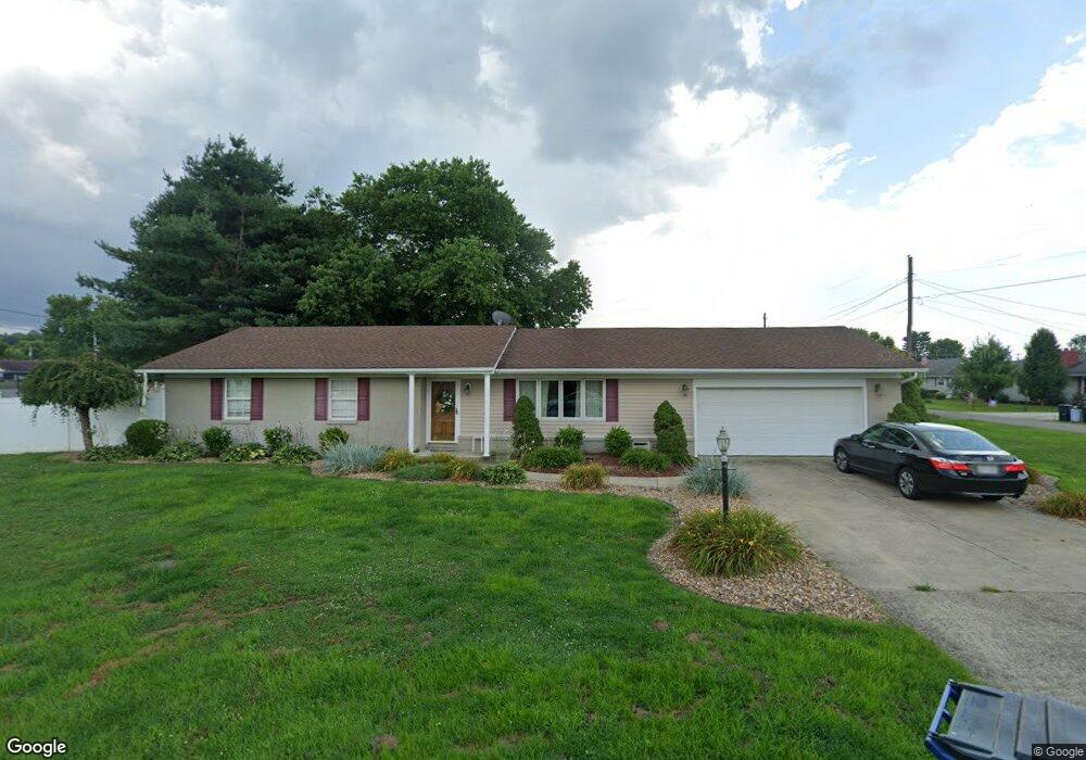
202 Alma Ave South Point, OH 45680
Estimated Value: $206,626 - $249,000
3
Beds
2
Baths
1,582
Sq Ft
$140/Sq Ft
Est. Value
About This Home
This home is located at 202 Alma Ave, South Point, OH 45680 and is currently estimated at $222,157, approximately $140 per square foot. 202 Alma Ave is a home located in Lawrence County with nearby schools including South Point High School.
Ownership History
Date
Name
Owned For
Owner Type
Purchase Details
Closed on
Aug 26, 2010
Sold by
Samons Joyce A and Samons Roland J
Bought by
West Joel D and West Michelle B
Current Estimated Value
Home Financials for this Owner
Home Financials are based on the most recent Mortgage that was taken out on this home.
Original Mortgage
$139,126
Outstanding Balance
$93,853
Interest Rate
4.87%
Mortgage Type
FHA
Estimated Equity
$128,304
Purchase Details
Closed on
Jan 3, 2003
Sold by
Samons Roland J
Bought by
Samons Joyce A
Purchase Details
Closed on
Aug 16, 2000
Sold by
Samons Roland J and Samons Faith
Bought by
Samons Roland J
Create a Home Valuation Report for This Property
The Home Valuation Report is an in-depth analysis detailing your home's value as well as a comparison with similar homes in the area
Home Values in the Area
Average Home Value in this Area
Purchase History
| Date | Buyer | Sale Price | Title Company |
|---|---|---|---|
| West Joel D | $141,000 | Attorney | |
| Samons Joyce A | -- | -- | |
| Samons Roland J | -- | -- |
Source: Public Records
Mortgage History
| Date | Status | Borrower | Loan Amount |
|---|---|---|---|
| Open | West Joel D | $139,126 |
Source: Public Records
Tax History Compared to Growth
Tax History
| Year | Tax Paid | Tax Assessment Tax Assessment Total Assessment is a certain percentage of the fair market value that is determined by local assessors to be the total taxable value of land and additions on the property. | Land | Improvement |
|---|---|---|---|---|
| 2024 | -- | $51,670 | $14,360 | $37,310 |
| 2023 | $1,759 | $51,670 | $14,360 | $37,310 |
| 2022 | $1,754 | $51,670 | $14,360 | $37,310 |
| 2021 | $1,646 | $45,490 | $11,460 | $34,030 |
| 2020 | $1,658 | $45,490 | $11,460 | $34,030 |
| 2019 | $1,649 | $45,490 | $11,460 | $34,030 |
| 2018 | $1,529 | $41,340 | $10,410 | $30,930 |
| 2017 | $1,526 | $41,340 | $10,410 | $30,930 |
| 2016 | $1,430 | $41,340 | $10,410 | $30,930 |
| 2015 | $1,390 | $37,660 | $8,980 | $28,680 |
| 2014 | $1,388 | $37,660 | $8,980 | $28,680 |
| 2013 | $1,253 | $37,660 | $8,980 | $28,680 |
Source: Public Records
Map
Nearby Homes
- 408 Brubaker Dr
- 205 Michael St
- 102 Park Ave
- 105 Orchard Dr
- 101 Henray Dr
- 119 Meadow Ln
- 00 County Road 1
- 110 Kitts Ln
- 609 4th St E
- 0 Twp R 135
- 404 Township Road 135
- 0 Township Road 161 Unit 182331
- 0 Township Road 135
- 2708 Panola St
- 2904 County Road 1
- 1184 County Road 18
- 2800 Walnut St
- 217 17th St
- 3166 Oakland Ave
- 1524 Beech St