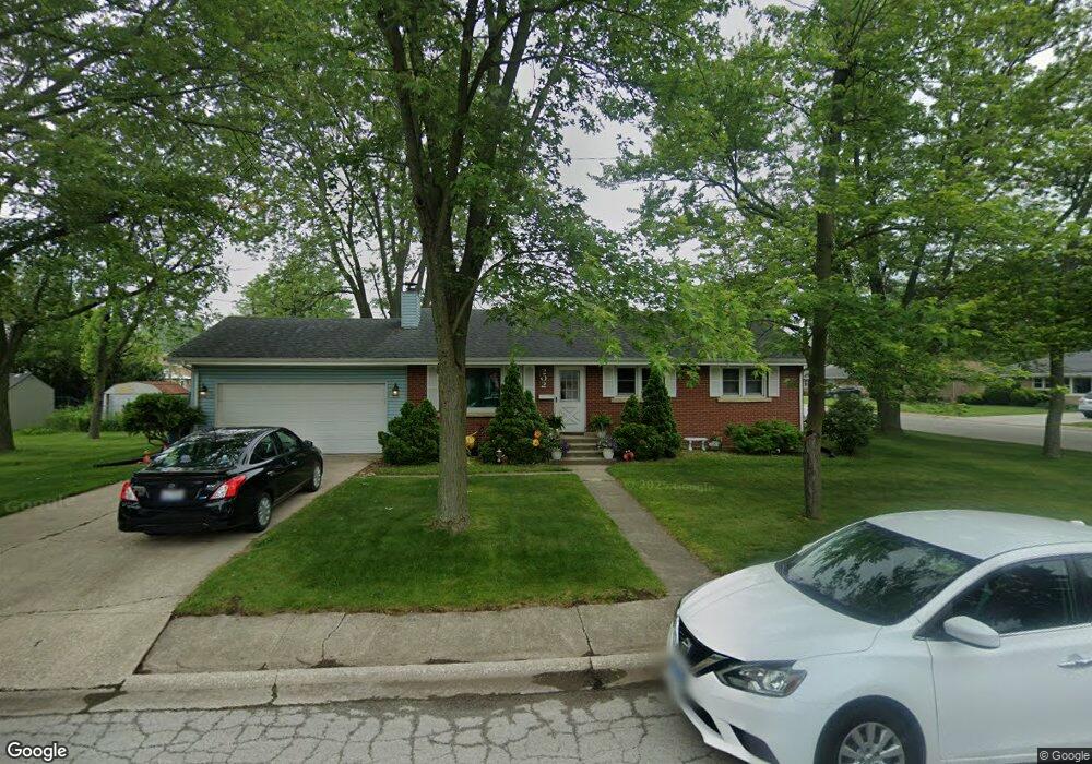
202 Anderson St Bourbonnais, IL 60914
Estimated Value: $184,000 - $204,294
4
Beds
2
Baths
1,100
Sq Ft
$177/Sq Ft
Est. Value
About This Home
This home is located at 202 Anderson St, Bourbonnais, IL 60914 and is currently estimated at $194,824, approximately $177 per square foot. 202 Anderson St is a home located in Kankakee County with nearby schools including Shabbona Elementary School, Liberty Intermediate School, and Bourbonnais Upper Grade Center.
Ownership History
Date
Name
Owned For
Owner Type
Purchase Details
Closed on
Dec 31, 2022
Sold by
Joanne E Larson 2013 Trust
Bought by
Andrea Trust
Current Estimated Value
Purchase Details
Closed on
Jul 6, 2022
Sold by
Gaylen N Larson 2013 Trust
Bought by
Andrea Trust
Purchase Details
Closed on
Aug 27, 2020
Sold by
Larson Management Trust
Bought by
Gaylen N Larson 2013 Trust and Joanne E Larson 2013 Trust
Create a Home Valuation Report for This Property
The Home Valuation Report is an in-depth analysis detailing your home's value as well as a comparison with similar homes in the area
Home Values in the Area
Average Home Value in this Area
Purchase History
| Date | Buyer | Sale Price | Title Company |
|---|---|---|---|
| Andrea Trust | -- | -- | |
| Andrea Trust | -- | Brown Law Group Llc | |
| Gaylen N Larson 2013 Trust | -- | Brown Law Group Llc |
Source: Public Records
Tax History
| Year | Tax Paid | Tax Assessment Tax Assessment Total Assessment is a certain percentage of the fair market value that is determined by local assessors to be the total taxable value of land and additions on the property. | Land | Improvement |
|---|---|---|---|---|
| 2024 | $4,760 | $57,276 | $6,562 | $50,714 |
| 2023 | $4,380 | $53,033 | $6,076 | $46,957 |
| 2022 | $4,046 | $47,001 | $5,856 | $41,145 |
| 2021 | $3,650 | $42,143 | $5,727 | $36,416 |
| 2020 | $3,624 | $41,015 | $5,574 | $35,441 |
| 2019 | $3,438 | $38,498 | $5,412 | $33,086 |
| 2018 | $3,532 | $39,429 | $5,332 | $34,097 |
| 2017 | $3,470 | $38,467 | $5,202 | $33,265 |
| 2016 | $3,383 | $37,574 | $5,125 | $32,449 |
| 2015 | $3,451 | $37,858 | $5,074 | $32,784 |
| 2014 | $3,138 | $35,831 | $5,074 | $30,757 |
| 2013 | -- | $37,858 | $5,074 | $32,784 |
Source: Public Records
Map
Nearby Homes
- 440 S Cryer Ave
- 508 N Forest Ave
- 901 W North St
- 411 N Prairie Ave
- 312 N Center Ave
- 132 N Tetrault Ave
- 0 Broadway St E Unit MRD12509049
- 179 N Levasseur Ave
- 171 S Blaine Ave
- 184 S Forest Ave
- 609 Ivy Ln
- Lot 5 W Broadway St
- 212 S Blaine Ave
- 250 N Levasseur Ave
- 691 W River St
- 754 River Place Dr
- 1136 Gertsam Dr
- 141 Pfitzer Dr
- 260 W Country Ct
- 248 Fox Trail Dr
- 532 S Bresee Ave
- 215 Anderson St
- 531 S Bresee Ave
- 497 S Bresee Ave
- 534 S Bresee Ave
- 491 S Bresee Ave
- 533 S Bresee Ave
- 480 S Bresee Ave
- 485 S Bresee Ave
- 535 S Bresee Ave
- 239 Anderson St
- 463 S Cryer Ave
- 201 E Charles St
- 465 S Bresee Ave
- 537 S Bresee Ave
- 485 S Cryer Ave
- 435 S Cryer Ave
- 450 S Bresee Ave Unit 460
- 500 S Main St
- 470 S Cryer Ave
Your Personal Tour Guide
Ask me questions while you tour the home.