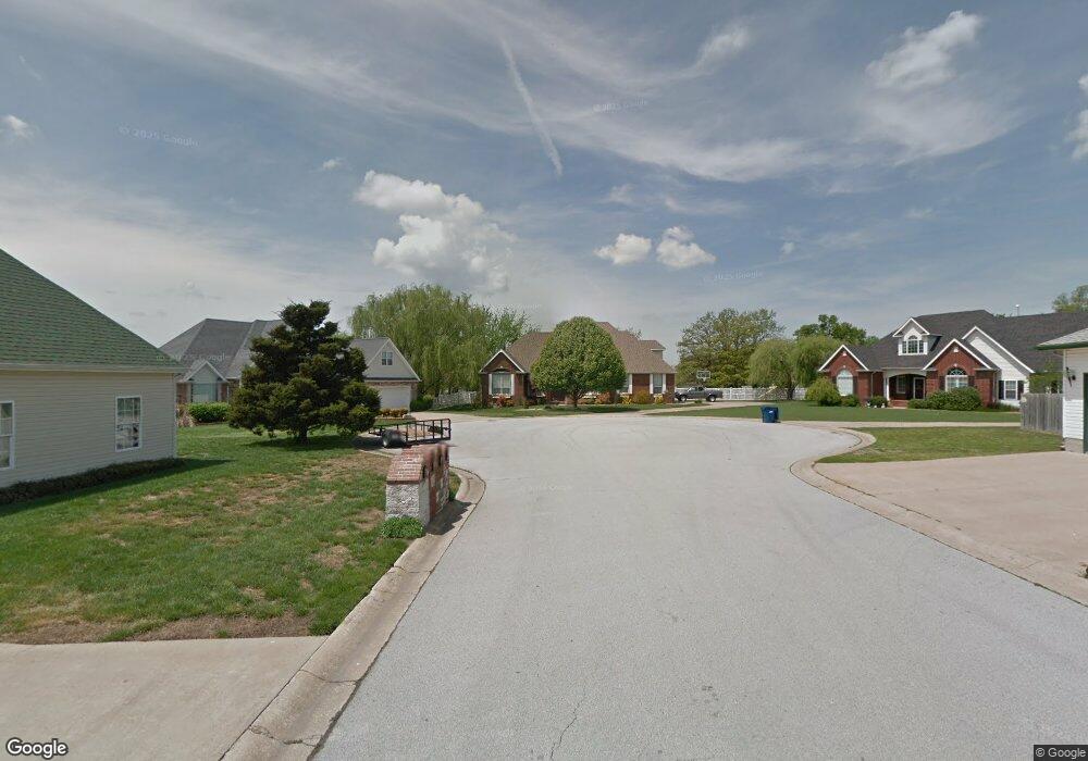
202 Bair Cir Carl Junction, MO 64834
Briarbrook NeighborhoodEstimated Value: $242,842 - $303,000
3
Beds
2
Baths
1,650
Sq Ft
$161/Sq Ft
Est. Value
About This Home
This home is located at 202 Bair Cir, Carl Junction, MO 64834 and is currently estimated at $265,961, approximately $161 per square foot. 202 Bair Cir is a home located in Jasper County with nearby schools including Carl Junction Primary School (K-1), Carl Junction Intermediate School, and Carl Junction Primary School (2-3).
Ownership History
Date
Name
Owned For
Owner Type
Purchase Details
Closed on
Oct 31, 2017
Sold by
Nancy Casper
Bought by
Stwalley Garry and Stwalley Catherine
Current Estimated Value
Home Financials for this Owner
Home Financials are based on the most recent Mortgage that was taken out on this home.
Original Mortgage
$120,000
Outstanding Balance
$100,316
Interest Rate
3.94%
Estimated Equity
$165,645
Purchase Details
Closed on
Mar 10, 2011
Sold by
Foust Steven D and Foust Elizabeth
Bought by
Adams Tami J
Home Financials for this Owner
Home Financials are based on the most recent Mortgage that was taken out on this home.
Original Mortgage
$116,768
Interest Rate
4.78%
Mortgage Type
Future Advance Clause Open End Mortgage
Purchase Details
Closed on
Jun 22, 2007
Sold by
Foust David D and Foust Nancy J
Bought by
Foust David D and Foust Nancy J
Home Financials for this Owner
Home Financials are based on the most recent Mortgage that was taken out on this home.
Original Mortgage
$90,300
Interest Rate
6.19%
Mortgage Type
Stand Alone Refi Refinance Of Original Loan
Create a Home Valuation Report for This Property
The Home Valuation Report is an in-depth analysis detailing your home's value as well as a comparison with similar homes in the area
Home Values in the Area
Average Home Value in this Area
Purchase History
| Date | Buyer | Sale Price | Title Company |
|---|---|---|---|
| Stwalley Garry | $150,100 | -- | |
| Adams Tami J | -- | Cbt | |
| Foust David D | -- | Abbey |
Source: Public Records
Mortgage History
| Date | Status | Borrower | Loan Amount |
|---|---|---|---|
| Open | Stwalley Garry | $120,000 | |
| Closed | Stwalley Garry | -- | |
| Previous Owner | Adams Tami J | $116,768 | |
| Previous Owner | Foust David D | $90,300 |
Source: Public Records
Tax History Compared to Growth
Tax History
| Year | Tax Paid | Tax Assessment Tax Assessment Total Assessment is a certain percentage of the fair market value that is determined by local assessors to be the total taxable value of land and additions on the property. | Land | Improvement |
|---|---|---|---|---|
| 2025 | $1,533 | $27,350 | $2,110 | $25,240 |
| 2024 | $1,538 | $24,170 | $2,110 | $22,060 |
| 2023 | $1,538 | $24,170 | $2,110 | $22,060 |
| 2022 | $1,556 | $24,450 | $2,110 | $22,340 |
| 2021 | $1,327 | $24,090 | $2,110 | $21,980 |
| 2020 | $1,236 | $22,140 | $2,110 | $20,030 |
| 2019 | $1,175 | $22,140 | $2,110 | $20,030 |
| 2018 | $1,156 | $21,910 | $0 | $0 |
| 2017 | $1,159 | $21,910 | $0 | $0 |
| 2016 | $1,157 | $22,070 | $0 | $0 |
| 2015 | -- | $22,070 | $0 | $0 |
| 2014 | -- | $22,070 | $0 | $0 |
Source: Public Records
Map
Nearby Homes
- 304 Belgian Blue Blvd
- 232 Hickory Place
- 235 Timber Ln
- XXX Lone Elm
- 909 Aberdeen Ave
- 506 Lone Elm Dr
- 908 Aberdeen Ave
- 5854 County Road 263
- 6548 Mo-171
- 1021 Copper Oaks Dr
- 25949 Paper Loop
- 909 Silver Oaks Dr
- LOT 4C Hwy 171 & Fir Rd Unit 4C
- 512 Dogwood Trails Loop
- 704 Silver Oaks
- 2575 Plan at Fox Briar
- 2360 Two Story Plan at Fox Briar
- 2500 Plan at Fox Briar
- 2550 Two Story Plan at Fox Briar
- 2410 Plan at Fox Briar