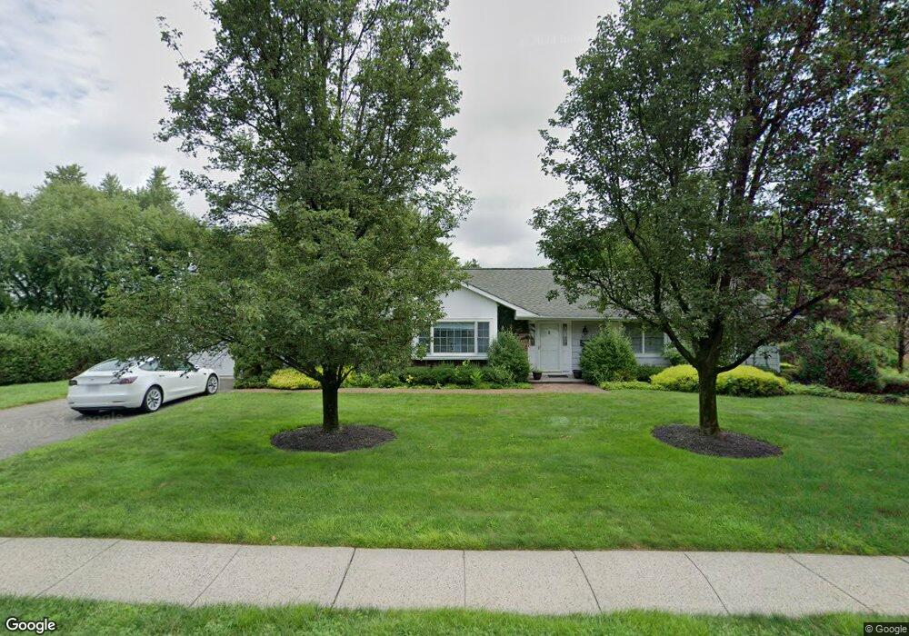
202 Barnum Ave Port Jefferson, NY 11777
Estimated Value: $582,000 - $718,055
--
Bed
--
Bath
--
Sq Ft
0.5
Acres
About This Home
This home is located at 202 Barnum Ave, Port Jefferson, NY 11777 and is currently estimated at $650,028. 202 Barnum Ave is a home located in Suffolk County with nearby schools including Edna Louise Spear Elementary, Port Jefferson Middle School, and Earl L Vandermeulen High School.
Ownership History
Date
Name
Owned For
Owner Type
Purchase Details
Closed on
Mar 4, 2024
Sold by
Barbara L Scgroeder Irt and Erland
Bought by
Erland Brett
Current Estimated Value
Home Financials for this Owner
Home Financials are based on the most recent Mortgage that was taken out on this home.
Original Mortgage
$616,105
Outstanding Balance
$606,367
Interest Rate
6.9%
Mortgage Type
Purchase Money Mortgage
Estimated Equity
$43,661
Create a Home Valuation Report for This Property
The Home Valuation Report is an in-depth analysis detailing your home's value as well as a comparison with similar homes in the area
Home Values in the Area
Average Home Value in this Area
Purchase History
| Date | Buyer | Sale Price | Title Company |
|---|---|---|---|
| Erland Brett | $640,000 | None Available | |
| Erland Brett | $640,000 | None Available |
Source: Public Records
Mortgage History
| Date | Status | Borrower | Loan Amount |
|---|---|---|---|
| Open | Erland Brett | $616,105 | |
| Closed | Erland Brett | $616,105 |
Source: Public Records
Tax History Compared to Growth
Tax History
| Year | Tax Paid | Tax Assessment Tax Assessment Total Assessment is a certain percentage of the fair market value that is determined by local assessors to be the total taxable value of land and additions on the property. | Land | Improvement |
|---|---|---|---|---|
| 2024 | $10,636 | $3,940 | $440 | $3,500 |
| 2023 | $10,636 | $3,940 | $440 | $3,500 |
| 2022 | $8,341 | $3,940 | $440 | $3,500 |
| 2021 | $8,341 | $3,940 | $440 | $3,500 |
| 2020 | $10,178 | $3,940 | $440 | $3,500 |
| 2019 | $10,136 | $0 | $0 | $0 |
| 2018 | $8,123 | $3,940 | $440 | $3,500 |
| 2017 | $8,123 | $3,940 | $440 | $3,500 |
| 2016 | $8,126 | $3,940 | $440 | $3,500 |
| 2015 | -- | $3,940 | $440 | $3,500 |
| 2014 | -- | $3,940 | $440 | $3,500 |
Source: Public Records
Map
Nearby Homes
- 127 Barnum Ave
- 122 Liberty Ave
- 515 High St Unit 10
- 110 E Broadway
- 306 Liberty Ave
- 101 Bleeker St
- 120 Bleeker St
- 125 Bleeker St
- 101 Wilson Dr
- 0 Dark Hollow Rd
- 213 Maiden Ln
- 216 Glenwood Ln
- 0 Belle Terre Rd
- 1 Oakwood Rd
- 0 Bell Cir
- 18 Bell Cir
- 95 Cove Ln
- 0 Saints Orchard Rd
- Lots 9&10 Sheep Pasture Rd
- 0 Park Ave
- 114 Maple Place
- 210 Barnum Ave
- 112 Maple Place
- 119 Maple Place
- 0 Barnum Ave
- 103 Oakes St
- 135 Barnum Ave
- 214 Barnum Ave
- 214 Barnum Ave Unit 1
- 126 Barnum Ave
- 102 Oakes St
- 107 Randall Ave
- 105 Oakes St
- 109 Randall Ave
- 111 Randall Ave
- 106 Oakes St
- 218 Barnum Ave
- 205 Barnum Ave
- 124 Barnum Ave
- 115 Randall Ave