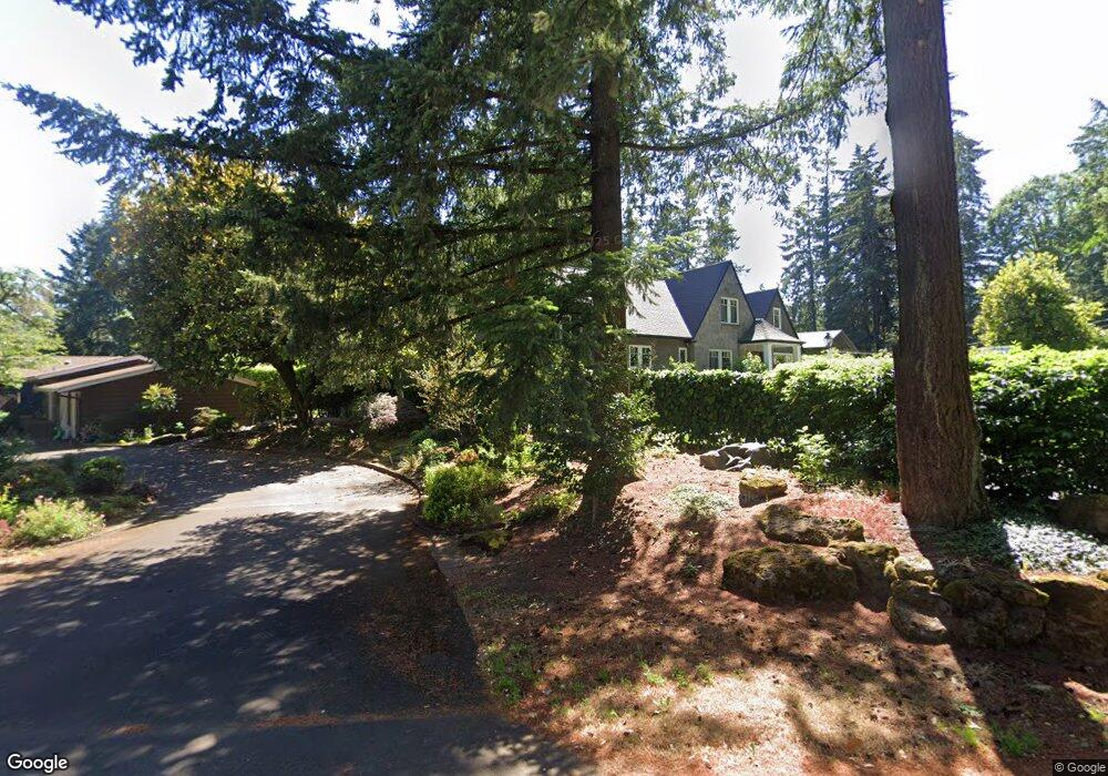
202 Berwick Rd Lake Oswego, OR 97034
Country Club-North Shore NeighborhoodEstimated Value: $3,178,557 - $4,236,000
5
Beds
5
Baths
5,679
Sq Ft
$631/Sq Ft
Est. Value
About This Home
This home is located at 202 Berwick Rd, Lake Oswego, OR 97034 and is currently estimated at $3,580,889, approximately $630 per square foot. 202 Berwick Rd is a home located in Clackamas County with nearby schools including Forest Hills Elementary School, Lake Oswego Junior High School, and Lake Oswego Senior High School.
Ownership History
Date
Name
Owned For
Owner Type
Purchase Details
Closed on
Nov 1, 2023
Sold by
Armstrong Brian
Bought by
Brian Patrick Armstrong Family Trust and Armstrong
Current Estimated Value
Purchase Details
Closed on
Apr 18, 2014
Sold by
Kehoe Michael P and Kehoe Lorri N
Bought by
Armstrong Brian and Armstrong Eden
Home Financials for this Owner
Home Financials are based on the most recent Mortgage that was taken out on this home.
Original Mortgage
$600,000
Interest Rate
4.23%
Mortgage Type
New Conventional
Purchase Details
Closed on
May 16, 2005
Sold by
Sher Jan Mahmood and Sher Jan Gaylyn A
Bought by
Kehoe Michael P and Kehoe Lorri N
Home Financials for this Owner
Home Financials are based on the most recent Mortgage that was taken out on this home.
Original Mortgage
$995,000
Interest Rate
5%
Mortgage Type
Fannie Mae Freddie Mac
Purchase Details
Closed on
Dec 17, 2002
Sold by
Pollock Roger and Pollock Kristin M
Bought by
Sherjan Mahmood and Sherjan Gaylyn A
Home Financials for this Owner
Home Financials are based on the most recent Mortgage that was taken out on this home.
Original Mortgage
$315,000
Interest Rate
6.03%
Purchase Details
Closed on
Feb 26, 2001
Sold by
Anderson Richlin Lee and Anderson Tina M
Bought by
Pollock Roger and Pollock Kristin M
Home Financials for this Owner
Home Financials are based on the most recent Mortgage that was taken out on this home.
Original Mortgage
$516,000
Interest Rate
6.98%
Purchase Details
Closed on
Apr 23, 1996
Sold by
Bowles Lucille M
Bought by
Anderson Richlin Lee and Anderson Tina M
Home Financials for this Owner
Home Financials are based on the most recent Mortgage that was taken out on this home.
Original Mortgage
$292,950
Interest Rate
7.62%
Create a Home Valuation Report for This Property
The Home Valuation Report is an in-depth analysis detailing your home's value as well as a comparison with similar homes in the area
Home Values in the Area
Average Home Value in this Area
Purchase History
| Date | Buyer | Sale Price | Title Company |
|---|---|---|---|
| Brian Patrick Armstrong Family Trust | -- | None Listed On Document | |
| Eden R Armstrong Family Trust | -- | None Listed On Document | |
| Brian Patrick Armstrong Family Trust | -- | None Listed On Document | |
| Armstrong Brian | $1,950,000 | Wfg Title | |
| Kehoe Michael P | $1,325,000 | First American | |
| Sherjan Mahmood | $775,000 | First American Title Ins Co | |
| Pollock Roger | $759,000 | First American Title Ins Co | |
| Anderson Richlin Lee | $325,500 | Chicago Title Insurance Co |
Source: Public Records
Mortgage History
| Date | Status | Borrower | Loan Amount |
|---|---|---|---|
| Previous Owner | Armstrong Brian | $600,000 | |
| Previous Owner | Armstrong Brian | $500,000 | |
| Previous Owner | Kehoe Michael P | $995,000 | |
| Previous Owner | Sherjan Mahmood | $315,000 | |
| Previous Owner | Pollock Roger | $516,000 | |
| Previous Owner | Anderson Richlin Lee | $292,950 | |
| Closed | Kehoe Michael P | $192,500 |
Source: Public Records
Tax History Compared to Growth
Tax History
| Year | Tax Paid | Tax Assessment Tax Assessment Total Assessment is a certain percentage of the fair market value that is determined by local assessors to be the total taxable value of land and additions on the property. | Land | Improvement |
|---|---|---|---|---|
| 2025 | $34,576 | $1,804,409 | -- | -- |
| 2024 | $33,655 | $1,751,854 | -- | -- |
| 2023 | $33,655 | $1,700,830 | $0 | $0 |
| 2022 | $31,697 | $1,651,292 | $0 | $0 |
| 2021 | $28,870 | $1,581,173 | $0 | $0 |
| 2020 | $28,145 | $1,535,120 | $0 | $0 |
| 2019 | $27,453 | $1,490,408 | $0 | $0 |
| 2018 | $26,106 | $1,446,998 | $0 | $0 |
| 2017 | $25,189 | $1,404,852 | $0 | $0 |
| 2016 | $22,929 | $1,363,934 | $0 | $0 |
| 2015 | $22,152 | $1,324,208 | $0 | $0 |
| 2014 | $22,671 | $1,332,960 | $0 | $0 |
Source: Public Records
Map
Nearby Homes