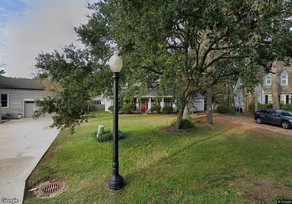
202 Branch Ln Mandeville, LA 70448
Estimated Value: $549,000 - $685,114
4
Beds
4
Baths
4,697
Sq Ft
$134/Sq Ft
Est. Value
About This Home
This home is located at 202 Branch Ln, Mandeville, LA 70448 and is currently estimated at $627,529, approximately $133 per square foot. 202 Branch Ln is a home located in St. Tammany Parish with nearby schools including Woodlake Elementary School, Mandeville Middle School, and Fontainebleau Junior High School.
Ownership History
Date
Name
Owned For
Owner Type
Purchase Details
Closed on
Apr 12, 2010
Sold by
Blanton Constance Peacock and Blanton Donald L
Bought by
Garland David and Garland Elizabeth Knapp
Current Estimated Value
Home Financials for this Owner
Home Financials are based on the most recent Mortgage that was taken out on this home.
Original Mortgage
$303,200
Outstanding Balance
$197,764
Interest Rate
4.9%
Mortgage Type
New Conventional
Estimated Equity
$429,765
Create a Home Valuation Report for This Property
The Home Valuation Report is an in-depth analysis detailing your home's value as well as a comparison with similar homes in the area
Home Values in the Area
Average Home Value in this Area
Purchase History
| Date | Buyer | Sale Price | Title Company |
|---|---|---|---|
| Garland David | $379,000 | Stewart Title Of Louisiana |
Source: Public Records
Mortgage History
| Date | Status | Borrower | Loan Amount |
|---|---|---|---|
| Open | Garland David | $303,200 |
Source: Public Records
Tax History
| Year | Tax Paid | Tax Assessment Tax Assessment Total Assessment is a certain percentage of the fair market value that is determined by local assessors to be the total taxable value of land and additions on the property. | Land | Improvement |
|---|---|---|---|---|
| 2025 | $4,189 | $42,424 | $5,871 | $36,553 |
| 2024 | $4,189 | $42,424 | $5,871 | $36,553 |
| 2023 | $4,344 | $35,487 | $5,871 | $29,616 |
| 2022 | $370,969 | $35,487 | $5,871 | $29,616 |
| 2021 | $3,703 | $35,487 | $5,871 | $29,616 |
| 2020 | $3,699 | $35,487 | $5,871 | $29,616 |
| 2019 | $4,723 | $34,453 | $5,700 | $28,753 |
| 2018 | $4,730 | $34,453 | $5,700 | $28,753 |
| 2017 | $4,774 | $34,453 | $5,700 | $28,753 |
| 2016 | $4,812 | $34,453 | $5,700 | $28,753 |
| 2015 | $3,381 | $31,066 | $5,700 | $25,366 |
| 2014 | $3,346 | $31,066 | $5,700 | $25,366 |
| 2013 | -- | $31,066 | $5,700 | $25,366 |
Source: Public Records
Map
Nearby Homes
- 204 Branch Ln
- 104 Cornerstone Dr
- 204 Branch Ln
- 204 Branch Ln
- 3003 White Oak Ln
- 102 Cornerstone Dr
- 3001 White Oak Ln
- 3005 White Oak Ln
- 206 Branch Ln
- 201 Branch Ln
- 100 Cornerstone Dr
- 3007 White Oak Ln
- 208 Branch Ln
- 205 Branch Ln
- 207 Branch Ln
- 103 Cornerstone Dr
- 3009 White Oak Ln
- 105 Cornerstone Dr
- 1001 Live Oak Loop Other
- 1001 Live Oak Loop
Your Personal Tour Guide
Ask me questions while you tour the home.