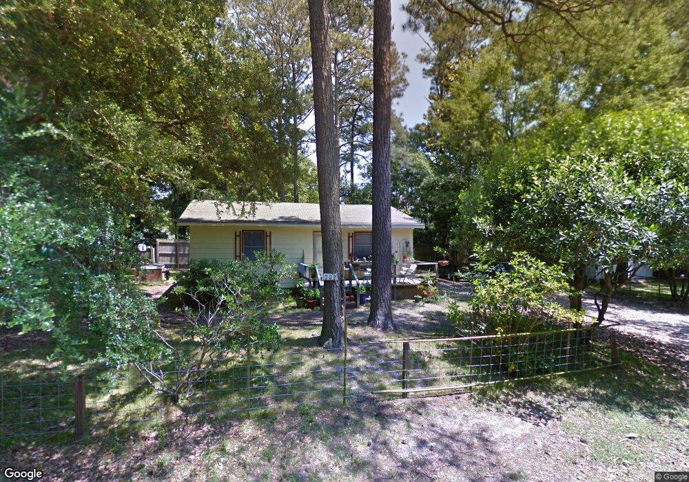
202 Brant Landing Rd Newport, NC 28570
Estimated Value: $251,000 - $387,000
2
Beds
1
Bath
768
Sq Ft
$381/Sq Ft
Est. Value
About This Home
This home is located at 202 Brant Landing Rd, Newport, NC 28570 and is currently estimated at $292,842, approximately $381 per square foot. 202 Brant Landing Rd is a home located in Carteret County with nearby schools including Bogue Sound Elementary School, Broad Creek Middle School, and Croatan High School.
Ownership History
Date
Name
Owned For
Owner Type
Purchase Details
Closed on
Apr 25, 2024
Sold by
Brant Catherine L
Bought by
Catherine L Brant Revocable Trust and Brant
Current Estimated Value
Purchase Details
Closed on
Aug 15, 2013
Sold by
Brant Elizabeth A and Harvell Cecil S
Bought by
Brant Catherine L
Purchase Details
Closed on
Apr 10, 2009
Sold by
Brant Catherine L
Bought by
Brant Catherine L and The Catherine L Brant Revocable Trust
Purchase Details
Closed on
Apr 3, 2009
Sold by
Brant Catherine L
Bought by
Brant Elizabeth A and Harvell Cecil S
Create a Home Valuation Report for This Property
The Home Valuation Report is an in-depth analysis detailing your home's value as well as a comparison with similar homes in the area
Home Values in the Area
Average Home Value in this Area
Purchase History
| Date | Buyer | Sale Price | Title Company |
|---|---|---|---|
| Catherine L Brant Revocable Trust | -- | None Listed On Document | |
| Catherine L Brant Irrevocable Trust | -- | None Listed On Document | |
| Brant Catherine L | -- | None Available | |
| Brant Catherine L | -- | None Available | |
| Brant Elizabeth A | -- | None Available |
Source: Public Records
Tax History Compared to Growth
Tax History
| Year | Tax Paid | Tax Assessment Tax Assessment Total Assessment is a certain percentage of the fair market value that is determined by local assessors to be the total taxable value of land and additions on the property. | Land | Improvement |
|---|---|---|---|---|
| 2025 | $844 | $244,601 | $152,074 | $92,527 |
| 2024 | $460 | $79,908 | $57,102 | $22,806 |
| 2023 | $510 | $79,908 | $57,102 | $22,806 |
| 2022 | $526 | $79,908 | $57,102 | $22,806 |
| 2021 | $510 | $79,908 | $57,102 | $22,806 |
| 2020 | $498 | $79,908 | $57,102 | $22,806 |
| 2019 | $499 | $84,469 | $57,102 | $27,367 |
| 2017 | $499 | $84,469 | $57,102 | $27,367 |
| 2016 | $499 | $84,469 | $57,102 | $27,367 |
| 2015 | $490 | $84,469 | $57,102 | $27,367 |
| 2014 | $403 | $105,709 | $80,369 | $25,340 |
Source: Public Records
Map
Nearby Homes
- 304 Brook Ln
- 122 Oriental Ct
- 154 Canton St
- 103 Laurel Ln
- 105 Sandpiper Dr
- 118 Buena Vista Dr
- 301 Murdoch Rd
- 401 Scot Dr
- 215 Oak Dr
- 209 Sound Ct
- 113 Fairway Dr W
- 156 Beaufort Ct Unit 6
- 404 Hillcrest Dr
- 212 Lord Granville Dr
- 527 Village Green Dr Unit A
- 806 Lord Granville Dr
- 108 Brandywine Blvd
- 812 E Chatham St
- 531 Eagle Rd
- 476 Highway 24 - A
- 112 Break Water Dr
- 114 Break Water Dr
- 303 Somerset Way
- 307 Somerset Way
- 110 Breakwater Dr
- 114 Breakwater Dr
- 309 Somerset Way
- 301 Somerset Way
- 116 Break Water Dr
- 401 Somerset Way
- 117 Breakwater Dr
- 115 Break Water Dr
- 119 Break Water Dr
- 119 Breakwater Dr
- 101 Gloucester Ct
- 108 Breakwater Dr
- 304 Somerset Way
- 108 Break Water Dr
- 506 Somerset Way
- 121 Breakwater Dr