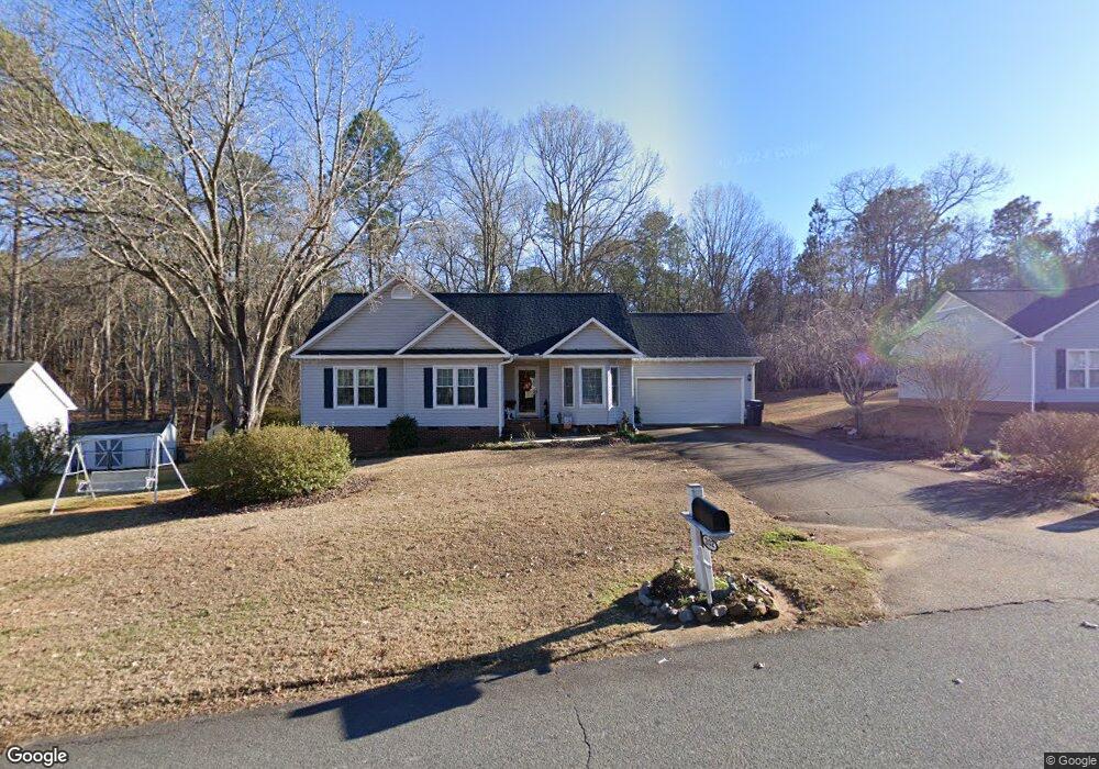
202 Brookfield Cir Sanford, NC 27330
Estimated Value: $258,000 - $272,000
3
Beds
2
Baths
1,291
Sq Ft
$206/Sq Ft
Est. Value
About This Home
This home is located at 202 Brookfield Cir, Sanford, NC 27330 and is currently estimated at $265,552, approximately $205 per square foot. 202 Brookfield Cir is a home located in Lee County with nearby schools including J.R. Ingram Jr. Elementary School, West Lee Middle School, and Lee County High School.
Ownership History
Date
Name
Owned For
Owner Type
Purchase Details
Closed on
Aug 15, 2005
Sold by
Norris Laura M and Norris Samuel G
Bought by
Ayers Mary J
Current Estimated Value
Home Financials for this Owner
Home Financials are based on the most recent Mortgage that was taken out on this home.
Original Mortgage
$100,000
Outstanding Balance
$51,922
Interest Rate
5.48%
Mortgage Type
Future Advance Clause Open End Mortgage
Estimated Equity
$213,630
Create a Home Valuation Report for This Property
The Home Valuation Report is an in-depth analysis detailing your home's value as well as a comparison with similar homes in the area
Home Values in the Area
Average Home Value in this Area
Purchase History
| Date | Buyer | Sale Price | Title Company |
|---|---|---|---|
| Ayers Mary J | $128,500 | None Available |
Source: Public Records
Mortgage History
| Date | Status | Borrower | Loan Amount |
|---|---|---|---|
| Open | Ayers Mary J | $100,000 |
Source: Public Records
Tax History Compared to Growth
Tax History
| Year | Tax Paid | Tax Assessment Tax Assessment Total Assessment is a certain percentage of the fair market value that is determined by local assessors to be the total taxable value of land and additions on the property. | Land | Improvement |
|---|---|---|---|---|
| 2025 | $633 | $216,700 | $35,000 | $181,700 |
| 2024 | $633 | $216,700 | $35,000 | $181,700 |
| 2023 | $1,623 | $216,700 | $35,000 | $181,700 |
| 2022 | $1,238 | $136,100 | $30,000 | $106,100 |
| 2021 | $1,248 | $136,100 | $30,000 | $106,100 |
| 2020 | $1,245 | $136,100 | $30,000 | $106,100 |
| 2019 | $1,205 | $136,100 | $30,000 | $106,100 |
| 2018 | $1,132 | $128,600 | $25,000 | $103,600 |
| 2017 | $1,119 | $128,300 | $25,000 | $103,300 |
| 2016 | $1,094 | $128,300 | $25,000 | $103,300 |
| 2014 | $1,047 | $128,300 | $25,000 | $103,300 |
Source: Public Records
Map
Nearby Homes
- 308 Brookfield Cir
- 2523 Victory Dr
- 401 Bridgewater Dr
- 524 Auguston Ct
- 2648 Buckingham Dr
- 2721 Bristol Way
- 2600 Buckingham Dr
- 618 Contento Ct
- 631 Contento Ct
- 0 Lot B Carbonton Rd
- 3111 Pine Lake Dr
- 2839 Bristol Way
- 0 Steel Bridge Rd Unit 10073804
- 0 Cool Springs Rd Unit 744558
- 906 Pilot St
- 163 Hanover Dr
- 206 Brookfield Cir
- 182 Brookfield Cir
- 210 Brookfield Cir
- 205 Brookfield Cir
- 178 Brookfield Cir
- 181 Brookfield Cir
- 179 Brookfield Cir
- 215 Brookfield Cir
- 214 Brookfield Cir
- 174 Brookfield Cir
- 175 Brookfield Cir
- 223 Brookfield Cir
- 218 Brookfield Cir
- 2712 Millstone Ct
- 171 Brookfield Cir
- 227 Brookfield Cir
- 211 Petty Rd
- 2708 Millstone Ct
- 166 Brookfield Cir
- 215 Petty Rd