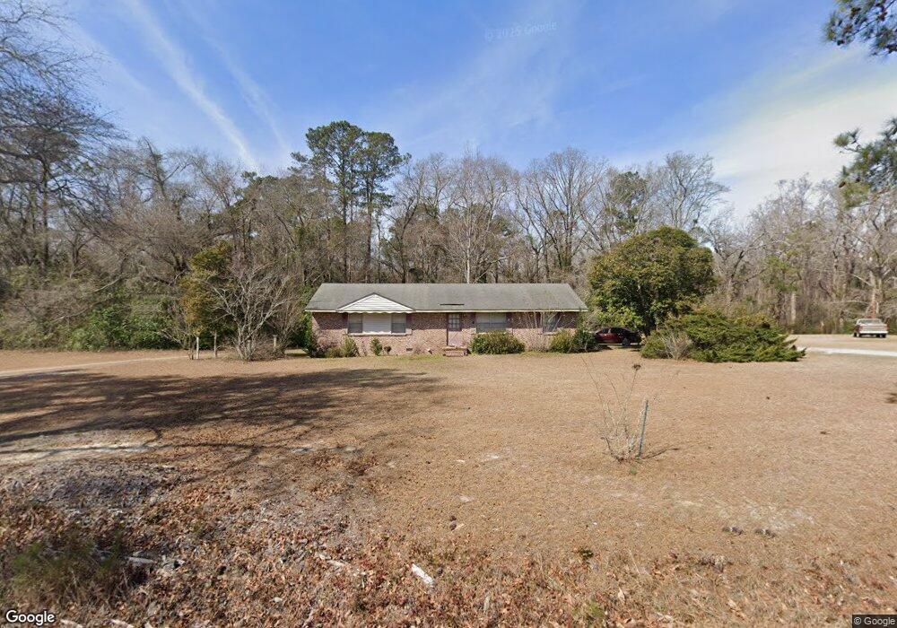
202 Browning Rd Elloree, SC 29047
Estimated Value: $146,000 - $202,000
4
Beds
3
Baths
1,554
Sq Ft
$114/Sq Ft
Est. Value
About This Home
This home is located at 202 Browning Rd, Elloree, SC 29047 and is currently estimated at $177,812, approximately $114 per square foot. 202 Browning Rd is a home located in Orangeburg County with nearby schools including Elloree Elementary and Lake Marion High School.
Ownership History
Date
Name
Owned For
Owner Type
Purchase Details
Closed on
Oct 25, 2021
Sold by
Bates Darlene and Bates Mark
Bought by
Eason Barbara K
Current Estimated Value
Home Financials for this Owner
Home Financials are based on the most recent Mortgage that was taken out on this home.
Original Mortgage
$63,822
Outstanding Balance
$58,326
Interest Rate
2.8%
Mortgage Type
FHA
Estimated Equity
$119,486
Purchase Details
Closed on
Nov 1, 2019
Sold by
Mccormick Laurie M Laurie M
Bought by
Bates Darlene
Purchase Details
Closed on
Jul 29, 2019
Sold by
Estate Of Lou Esther Browning
Bought by
Browning Bates Darlene H and Browning Walker L M
Create a Home Valuation Report for This Property
The Home Valuation Report is an in-depth analysis detailing your home's value as well as a comparison with similar homes in the area
Purchase History
We collect this data history from publicly available records. To have your information removed, we recommend requesting removal directly through your county’s website.
| Date | Buyer | Sale Price | Title Company |
|---|---|---|---|
| Eason Barbara K | $65,000 | None Available | |
| Bates Darlene | $25,000 | None Available | |
| Browning Bates Darlene H | -- | None Available |
Source: Public Records
Mortgage History
We collect this data history from publicly available records. To have your information removed, we recommend requesting removal directly through your county’s website.
| Date | Status | Borrower | Loan Amount |
|---|---|---|---|
| Open | Eason Barbara K | $63,822 |
Source: Public Records
Tax History
| Year | Tax Paid | Tax Assessment Tax Assessment Total Assessment is a certain percentage of the fair market value that is determined by local assessors to be the total taxable value of land and additions on the property. | Land | Improvement |
|---|---|---|---|---|
| 2024 | $646 | $3,360 | $288 | $3,072 |
| 2023 | $572 | $4,387 | $445 | $3,942 |
| 2022 | $557 | $4,387 | $445 | $3,942 |
| 2021 | $1,782 | $4,387 | $445 | $3,942 |
| 2020 | $1,642 | $4,387 | $0 | $0 |
| 2019 | $1,589 | $2,925 | $297 | $2,628 |
| 2018 | $133 | $2,769 | $297 | $2,472 |
| 2017 | $131 | $2,769 | $0 | $0 |
| 2016 | $129 | $2,769 | $0 | $0 |
| 2015 | $124 | $2,769 | $0 | $0 |
| 2014 | $124 | $2,769 | $297 | $2,472 |
| 2013 | -- | $2,821 | $297 | $2,524 |
Source: Public Records
Map
Nearby Homes
- 338 Browning Rd
- 0 Browning Rd
- 0 Warrior Dr Unit 27202068
- 0 Warrior Dr Unit Lot C
- 0 Warrior Dr Unit Lot B
- 450 Ulmer St
- 319 E Hampton St
- 1510 Tee Vee Rd
- 371 S Lexington St
- 00 Old Number Six Hwy
- 0 Old Number Six Hwy
- 460 Hampton St
- 713 Harlin St
- 555 Barkley St
- 38-121 Hampton St
- 0 Hampton St
- 573 Race Track Rd
- 651 Hardware St
- 740 Railroad Ave
- 1017 Harlin St
Your Personal Tour Guide
Ask me questions while you tour the home.