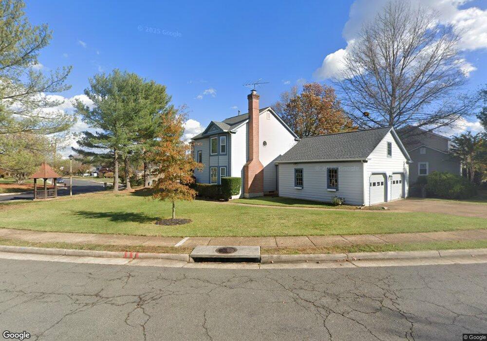
202 Browns Meadow Ct NE Leesburg, VA 20176
Estimated Value: $737,000 - $829,000
4
Beds
3
Baths
2,075
Sq Ft
$375/Sq Ft
Est. Value
About This Home
This home is located at 202 Browns Meadow Ct NE, Leesburg, VA 20176 and is currently estimated at $778,361, approximately $375 per square foot. 202 Browns Meadow Ct NE is a home located in Loudoun County with nearby schools including Leesburg Elementary School, Smart's Mill Middle School, and Tuscarora High School.
Ownership History
Date
Name
Owned For
Owner Type
Purchase Details
Closed on
Feb 10, 1995
Sold by
Boland Edwin A
Bought by
Marks Richard
Current Estimated Value
Home Financials for this Owner
Home Financials are based on the most recent Mortgage that was taken out on this home.
Original Mortgage
$184,500
Interest Rate
9.18%
Create a Home Valuation Report for This Property
The Home Valuation Report is an in-depth analysis detailing your home's value as well as a comparison with similar homes in the area
Home Values in the Area
Average Home Value in this Area
Purchase History
| Date | Buyer | Sale Price | Title Company |
|---|---|---|---|
| Marks Richard | $205,000 | -- |
Source: Public Records
Mortgage History
| Date | Status | Borrower | Loan Amount |
|---|---|---|---|
| Closed | Marks Richard | $184,500 |
Source: Public Records
Tax History Compared to Growth
Tax History
| Year | Tax Paid | Tax Assessment Tax Assessment Total Assessment is a certain percentage of the fair market value that is determined by local assessors to be the total taxable value of land and additions on the property. | Land | Improvement |
|---|---|---|---|---|
| 2025 | $5,862 | $728,150 | $263,000 | $465,150 |
| 2024 | $6,107 | $706,040 | $243,000 | $463,040 |
| 2023 | $5,738 | $655,760 | $228,000 | $427,760 |
| 2022 | $5,392 | $605,840 | $203,000 | $402,840 |
| 2021 | $5,272 | $537,930 | $200,400 | $337,530 |
| 2020 | $5,113 | $494,040 | $180,400 | $313,640 |
| 2019 | $5,071 | $485,230 | $180,400 | $304,830 |
| 2018 | $5,068 | $467,050 | $150,400 | $316,650 |
| 2017 | $5,085 | $451,960 | $150,400 | $301,560 |
| 2016 | $5,210 | $455,030 | $0 | $0 |
| 2015 | $780 | $275,570 | $0 | $275,570 |
| 2014 | $729 | $247,970 | $0 | $247,970 |
Source: Public Records
Map
Nearby Homes
- 276 Ariel Dr NE
- 216 Wildman St NE
- 293 Ariel Dr NE
- 222 Wirt St NW
- BIRKHALL Plan at Brickyard
- HIGHGROVE Plan at Brickyard
- BALMORAL Plan at Brickyard
- 5 Stationmaster St SE Unit 202
- 2 Stationmaster St SE Unit 302
- 3 Stationmaster St SE Unit 402
- 202 Murdoch Square SE
- 710 North St NE
- 414 Madison Ct SE
- 125 Chesterfield Place SW
- 411 Bicksler Square SE
- 265 High Rail Terrace SE
- 459 Kornblau Terrace SE
- 0 Loudoun St SW Unit VALO2106424
- 1 Ayr St SW
- 109 Belmont Dr SW
- 206 Browns Meadow Ct NE
- 208 Browns Meadow Ct NE
- 218 North St NE
- 205 Browns Meadow Ct NE
- 201 Browns Meadow Ct NE
- 221 North St NE
- 203 Browns Meadow Ct NE
- 210 Browns Meadow Ct NE
- 207 Browns Meadow Ct NE
- 220 North St NE
- 223 North St NE
- 216 North St NE
- 212 Browns Meadow Ct NE
- 211 Browns Meadow Ct NE
- 209 Browns Meadow Ct NE
- 225 North St NE
- 216 Andover Ct NE
- 201 Wildman St NE
- 214 Browns Meadow Ct NE
- 215 Browns Meadow Ct NE