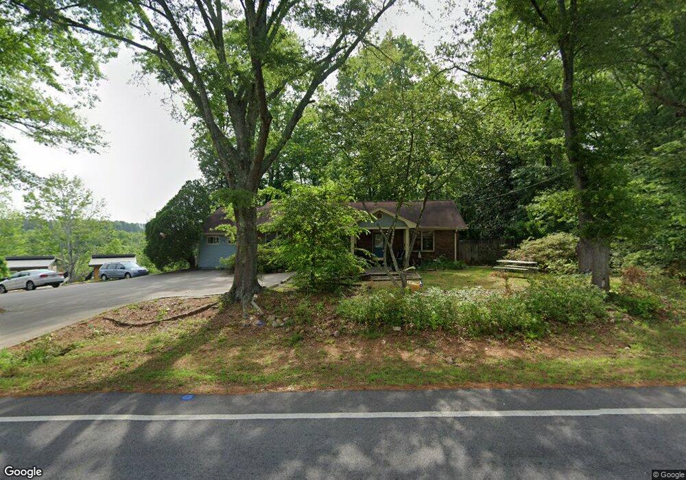
202 Burns Rd Carrollton, GA 30117
Estimated Value: $198,000 - $221,266
3
Beds
2
Baths
1,330
Sq Ft
$155/Sq Ft
Est. Value
About This Home
This home is located at 202 Burns Rd, Carrollton, GA 30117 and is currently estimated at $205,817, approximately $154 per square foot. 202 Burns Rd is a home located in Carroll County with nearby schools including Carrollton Elementary School, Carrollton Upper Elementary School, and Carrollton Middle School.
Ownership History
Date
Name
Owned For
Owner Type
Purchase Details
Closed on
Nov 28, 2007
Sold by
Not Provided
Bought by
Baxter Linda and Richardson Bill
Current Estimated Value
Purchase Details
Closed on
Oct 18, 2007
Sold by
Pedigo Deborah
Bought by
Nicholson Scotty A
Purchase Details
Closed on
Feb 3, 1979
Bought by
Morgan Elma
Create a Home Valuation Report for This Property
The Home Valuation Report is an in-depth analysis detailing your home's value as well as a comparison with similar homes in the area
Home Values in the Area
Average Home Value in this Area
Purchase History
| Date | Buyer | Sale Price | Title Company |
|---|---|---|---|
| Baxter Linda | $60,000 | -- | |
| Nicholson Scotty A | -- | -- | |
| Pedigo Deborah N | -- | -- | |
| Morgan Elma | -- | -- |
Source: Public Records
Tax History Compared to Growth
Tax History
| Year | Tax Paid | Tax Assessment Tax Assessment Total Assessment is a certain percentage of the fair market value that is determined by local assessors to be the total taxable value of land and additions on the property. | Land | Improvement |
|---|---|---|---|---|
| 2024 | $1,549 | $56,682 | $15,321 | $41,361 |
| 2023 | $1,549 | $53,015 | $15,322 | $37,693 |
| 2022 | $1,193 | $40,884 | $10,214 | $30,670 |
| 2021 | $989 | $33,884 | $7,560 | $26,324 |
| 2020 | $915 | $31,308 | $7,560 | $23,748 |
| 2019 | $857 | $29,056 | $7,560 | $21,496 |
| 2018 | $804 | $26,862 | $7,560 | $19,302 |
| 2017 | $808 | $26,862 | $7,560 | $19,302 |
| 2016 | $813 | $26,862 | $7,560 | $19,302 |
| 2015 | $863 | $27,927 | $8,000 | $19,928 |
| 2014 | $866 | $27,928 | $8,000 | $19,928 |
Source: Public Records
Map
Nearby Homes
- 0 Carroll Cir- Lots 4-8 Unit 148012
- 204 Burns Rd
- 150 Cedar Park Way
- 3 Burns Rd
- 2 Burns Rd
- 403 Burns Rd
- 0 Carroll Cir Unit LOTS 4-8 10571562
- 0 Burns Rd Unit LOT 2 10571612
- 0 Burns Rd Unit LOT 3 10571635
- 0 Burns Rd Unit LOT 1 10571595
- 0 Burns Rd Unit 148013
- 223 N Lakeshore Dr
- 231 N Lakeshore Dr
- 1711B Bankhead Hwy
- 114 Green Point Way
- 115 N Lake Dr
- 325 Almon Rd
- 180 Sunrise Ln
- 180 Sunrise Ln Unit 183
- 8 Horsley Mill Rd
- 203 Burns Rd
- 190 Burns Rd
- 190 Burns Rd Unit Lot 4
- 190 Burns Rd Unit Lot 3
- 190 Burns Rd Unit Lot 2
- 190 Burns Rd Unit Lot 1
- 201 Burns Rd
- 0 Carroll Cir- Lots 4-8 Unit 10571562
- 104 Carroll Cir
- 107 Cedar Heights Rd
- 104 Cedar Heights Rd
- 207 Burns Rd
- 106 Carroll Cir
- 45 Carroll Cir
- 105 Cedar Heights Rd
- 209 Burns Rd
- 108 Carroll Cir
- 103 Cedarcrest Dr
- 103 Cedar Heights Rd
- 100 Cedarcrest Dr