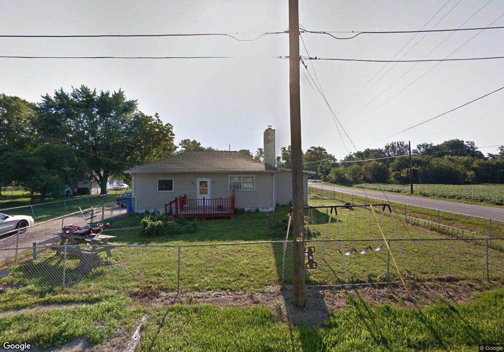
202 Burns Rd Curtice, OH 43412
Estimated Value: $112,623 - $224,000
3
Beds
1
Bath
1,584
Sq Ft
$102/Sq Ft
Est. Value
About This Home
This home is located at 202 Burns Rd, Curtice, OH 43412 and is currently estimated at $161,156, approximately $101 per square foot. 202 Burns Rd is a home located in Lucas County.
Create a Home Valuation Report for This Property
The Home Valuation Report is an in-depth analysis detailing your home's value as well as a comparison with similar homes in the area
Tax History
| Year | Tax Paid | Tax Assessment Tax Assessment Total Assessment is a certain percentage of the fair market value that is determined by local assessors to be the total taxable value of land and additions on the property. | Land | Improvement |
|---|---|---|---|---|
| 2025 | -- | $24,325 | $4,095 | $20,230 |
| 2024 | $540 | $24,325 | $4,095 | $20,230 |
| 2023 | $1,339 | $25,095 | $6,055 | $19,040 |
| 2022 | $1,357 | $25,095 | $6,055 | $19,040 |
| 2021 | $1,350 | $25,095 | $6,055 | $19,040 |
| 2020 | $1,065 | $20,965 | $5,005 | $15,960 |
| 2019 | $1,032 | $20,965 | $5,005 | $15,960 |
| 2018 | $948 | $20,965 | $5,005 | $15,960 |
| 2017 | $1,022 | $18,480 | $3,115 | $15,365 |
| 2016 | $891 | $52,800 | $8,900 | $43,900 |
| 2015 | $867 | $52,800 | $8,900 | $43,900 |
| 2014 | $646 | $18,490 | $3,120 | $15,370 |
| 2013 | $646 | $18,490 | $3,120 | $15,370 |
Source: Public Records
Map
Nearby Homes
- 12369 Lagoon Dr
- 12504 La Fontaine Dr
- 549 Beachview Rd
- 645 Clubhouse Rd
- 7105 N Elliston Trowbridge Rd
- 9015 Seaman Rd
- 8246 Cedar Point Rd
- 1031 N Cousino Rd
- 21224 W Toledo St
- 7330 Jerusalem Rd
- 6927 N Wildacre Rd
- 7105 N Curtice St
- 9881 W Locust Point Rd
- 5914 Kacy Ln
- 5882 Kacy Ln
- 0 N Walker St
- 6028 Bayshore Rd
- 155 N Stadium Rd
- 455 Cody
- 454 Cody Dr
- 12107 Corduroy Rd
- 210 Burns Rd
- 12186 Corduroy Rd
- 203 Burns Rd
- 207 Burns Rd
- 0 Corduroy Rd Lot D
- 0 Corduroy Rd Lot A
- 0
- 0 Corduroy Rd Lot B
- 222 Burns Rd
- 128 Alzale Dr
- 219 Burns Rd
- 12166 Corduroy Rd
- 12201 Lafontaine Dr
- 223 Burns Rd
- 12162 Corduroy Rd
- 239 Burns Rd
- 12217 Lafontaine Dr
- 12152 Corduroy Rd
- 247 Burns Rd
Your Personal Tour Guide
Ask me questions while you tour the home.