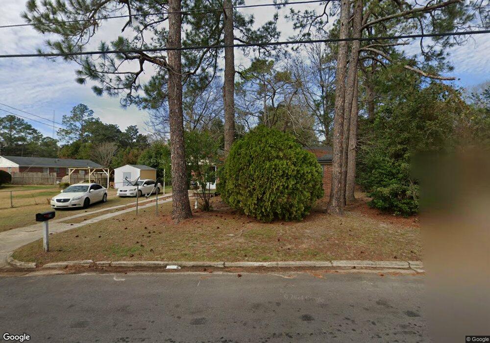
202 Cannon Ave Albany, GA 31705
Radium Springs NeighborhoodEstimated Value: $61,689 - $87,000
3
Beds
1
Bath
982
Sq Ft
$73/Sq Ft
Est. Value
About This Home
This home is located at 202 Cannon Ave, Albany, GA 31705 and is currently estimated at $71,922, approximately $73 per square foot. 202 Cannon Ave is a home located in Dougherty County with nearby schools including Morningside Elementary School, Southside Middle School, and Monroe High School.
Ownership History
Date
Name
Owned For
Owner Type
Purchase Details
Closed on
Aug 26, 2011
Sold by
Cole Burch Group Llp
Bought by
Cole Cross Group Llp
Current Estimated Value
Purchase Details
Closed on
Aug 30, 2006
Sold by
Joe Adams & Associates Llc
Bought by
Cole Burch Group Llp
Purchase Details
Closed on
Jun 12, 2002
Sold by
Bankers Trust Company Of California
Bought by
Joe Adams & Associates Llc
Purchase Details
Closed on
Apr 24, 2002
Sold by
Deutsche Bank National Trust Co As Trust
Bought by
Bankers Trust Company Of California Na A
Purchase Details
Closed on
May 1, 2001
Sold by
Smith Kirk By Atty In Fact
Bought by
Bankers Trust Company Na
Purchase Details
Closed on
Aug 8, 2000
Sold by
Balkcom Randall Lee
Bought by
Smith Kirk
Purchase Details
Closed on
Sep 26, 1988
Sold by
Yeatts Neo
Bought by
Balkcom Randall Lee
Create a Home Valuation Report for This Property
The Home Valuation Report is an in-depth analysis detailing your home's value as well as a comparison with similar homes in the area
Home Values in the Area
Average Home Value in this Area
Purchase History
| Date | Buyer | Sale Price | Title Company |
|---|---|---|---|
| Cole Cross Group Llp | -- | -- | |
| Cole Burch Group Llp | -- | -- | |
| Joe Adams & Associates Llc | $35,200 | -- | |
| Bankers Trust Company Of California Na A | -- | -- | |
| Bankers Trust Company Na | -- | -- | |
| Smith Kirk | $40,000 | -- | |
| Balkcom Randall Lee | $5,000 | -- |
Source: Public Records
Tax History Compared to Growth
Tax History
| Year | Tax Paid | Tax Assessment Tax Assessment Total Assessment is a certain percentage of the fair market value that is determined by local assessors to be the total taxable value of land and additions on the property. | Land | Improvement |
|---|---|---|---|---|
| 2024 | $727 | $15,240 | $1,800 | $13,440 |
| 2023 | $710 | $15,240 | $1,800 | $13,440 |
| 2022 | $713 | $15,240 | $1,800 | $13,440 |
| 2021 | $661 | $15,240 | $1,800 | $13,440 |
| 2020 | $662 | $15,240 | $1,800 | $13,440 |
| 2019 | $665 | $15,240 | $1,800 | $13,440 |
| 2018 | $757 | $17,280 | $1,800 | $15,480 |
| 2017 | $705 | $17,280 | $1,800 | $15,480 |
| 2016 | $706 | $17,280 | $1,800 | $15,480 |
| 2015 | $707 | $17,280 | $1,800 | $15,480 |
| 2014 | $699 | $17,280 | $1,800 | $15,480 |
Source: Public Records
Map
Nearby Homes
- 410 Rosser Ln
- 111 Morningside Dr
- 109 Morningside Dr
- 104 Daniel Ct
- 1304 Mobile Ave
- 206 Raintree Dr
- 1011 Crawford Dr
- 939 Crawford Dr
- 925 Mercedes St
- 916 Crawford Dr
- 454 Poinciana Ave
- 911 Mercedes St
- 502 Mitchell Ave
- 300 Southwood Dr
- 2601 S Jackson St
- 306 Tremont Ave
- 309 Wells Ave
- 314 Tremont Ave
- 2126 Martin Luther King Junior Dr
- 811 S Maple St