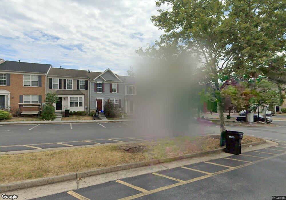
202 Cannon Ct Strasburg, VA 22657
Estimated Value: $282,206 - $308,000
3
Beds
3
Baths
1,400
Sq Ft
$212/Sq Ft
Est. Value
About This Home
This home is located at 202 Cannon Ct, Strasburg, VA 22657 and is currently estimated at $297,302, approximately $212 per square foot. 202 Cannon Ct is a home located in Shenandoah County with nearby schools including Sandy Hook Elementary School, Signal Knob Middle School, and Strasburg High School.
Ownership History
Date
Name
Owned For
Owner Type
Purchase Details
Closed on
Jan 25, 2007
Sold by
Bank Of New York
Bought by
Ebert Michael J and Ebert Tonya
Current Estimated Value
Home Financials for this Owner
Home Financials are based on the most recent Mortgage that was taken out on this home.
Original Mortgage
$160,000
Outstanding Balance
$95,620
Interest Rate
6.12%
Mortgage Type
Adjustable Rate Mortgage/ARM
Estimated Equity
$201,682
Purchase Details
Closed on
May 17, 2006
Sold by
Smith Jerry D
Bought by
Bank Of New York
Purchase Details
Closed on
May 31, 2005
Sold by
The Ryland Group Inc
Bought by
Smith Jerry D
Home Financials for this Owner
Home Financials are based on the most recent Mortgage that was taken out on this home.
Original Mortgage
$203,900
Interest Rate
6.37%
Mortgage Type
Adjustable Rate Mortgage/ARM
Create a Home Valuation Report for This Property
The Home Valuation Report is an in-depth analysis detailing your home's value as well as a comparison with similar homes in the area
Home Values in the Area
Average Home Value in this Area
Purchase History
| Date | Buyer | Sale Price | Title Company |
|---|---|---|---|
| Ebert Michael J | $200,000 | None Available | |
| Bank Of New York | $210,750 | None Available | |
| Smith Jerry D | $254,891 | Multiple |
Source: Public Records
Mortgage History
| Date | Status | Borrower | Loan Amount |
|---|---|---|---|
| Open | Ebert Michael J | $160,000 | |
| Previous Owner | Smith Jerry D | $203,900 |
Source: Public Records
Tax History
| Year | Tax Paid | Tax Assessment Tax Assessment Total Assessment is a certain percentage of the fair market value that is determined by local assessors to be the total taxable value of land and additions on the property. | Land | Improvement |
|---|---|---|---|---|
| 2025 | $1,270 | $198,500 | $33,000 | $165,500 |
| 2024 | $1,270 | $198,500 | $33,000 | $165,500 |
| 2023 | $1,191 | $198,500 | $33,000 | $165,500 |
| 2022 | $1,151 | $198,500 | $33,000 | $165,500 |
| 2021 | $836 | $121,100 | $24,000 | $97,100 |
| 2020 | $775 | $121,100 | $24,000 | $97,100 |
| 2019 | $775 | $121,100 | $24,000 | $97,100 |
| 2018 | $775 | $121,100 | $24,000 | $97,100 |
| 2017 | $727 | $121,100 | $24,000 | $97,100 |
| 2016 | $727 | $121,100 | $24,000 | $97,100 |
| 2015 | -- | $121,100 | $24,000 | $97,100 |
| 2014 | -- | $121,100 | $24,000 | $97,100 |
Source: Public Records
Map
Nearby Homes
- 200 Cannon Ct
- 1010 Pendleton Ln
- 1309 Pendleton Ln
- 612 Frontier Fort Ln
- 0 John Marshall Hwy Unit LotWP001
- 0 John Marshall Hwy Unit VASH2013186
- 407 Stonewall St
- Lot B Pleasant View Dr
- 0 Pleasant View Dr Unit VASH118442
- Lot A Pleasant View Dr
- 0 Mulberry St Unit VASH2013504
- 322 Alsberry St
- 507 Hupps Hill Ct
- 373 Walton St
- 131 S Massanutten St
- 131 Capon St
- 245 K9 Brandy Ct
- 220 S Massanutten St
- 149 Brown St
- 445 Ash St
- 204 Cannon Ct
- 206 Cannon Ct
- 208 Cannon Ct
- 210 Cannon Ct
- 1303 Pendleton Ln
- 1305 Pendleton Ln
- Cannon Ct
- Pendleton Ln
- 1307 Pendleton Ln
- 103 Cannon Ct
- 101 Cannon Ct
- 1012 Pendleton Ln
- 1014 Pendleton Ln
- 109 Cannon Ct
- 1008 Pendleton Ln
- 1200 Pendleton Ln
- 1006 Pendleton Ln
- 111 Cannon Ct
- 1004 Pendleton Ln
- 1202 Pendleton Ln
Your Personal Tour Guide
Ask me questions while you tour the home.