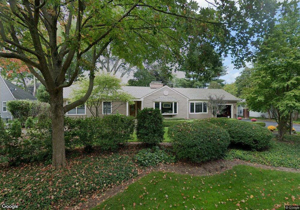
202 Charles St Geneva, IL 60134
Northwest Central Geneva NeighborhoodEstimated Value: $491,668 - $568,000
3
Beds
3
Baths
1,800
Sq Ft
$299/Sq Ft
Est. Value
About This Home
This home is located at 202 Charles St, Geneva, IL 60134 and is currently estimated at $537,417, approximately $298 per square foot. 202 Charles St is a home located in Kane County with nearby schools including Williamsburg Elementary School, Geneva Community High School, and Kensington School - Geneva.
Ownership History
Date
Name
Owned For
Owner Type
Purchase Details
Closed on
Oct 10, 2005
Sold by
Kohorst Thomas P and Kohorst Brenda K
Bought by
Kohorst Thomas P and Kohorst Brenda K
Current Estimated Value
Purchase Details
Closed on
Jul 28, 1995
Sold by
Murphy James A and Murphy Marlene M
Bought by
Kohorst Thomas P and Kohorst Brenda K
Home Financials for this Owner
Home Financials are based on the most recent Mortgage that was taken out on this home.
Original Mortgage
$136,000
Interest Rate
7.59%
Create a Home Valuation Report for This Property
The Home Valuation Report is an in-depth analysis detailing your home's value as well as a comparison with similar homes in the area
Home Values in the Area
Average Home Value in this Area
Purchase History
| Date | Buyer | Sale Price | Title Company |
|---|---|---|---|
| Kohorst Thomas P | -- | -- | |
| Kohorst Thomas P | $170,000 | -- |
Source: Public Records
Mortgage History
| Date | Status | Borrower | Loan Amount |
|---|---|---|---|
| Closed | Kohorst Thomas P | $136,000 |
Source: Public Records
Tax History
| Year | Tax Paid | Tax Assessment Tax Assessment Total Assessment is a certain percentage of the fair market value that is determined by local assessors to be the total taxable value of land and additions on the property. | Land | Improvement |
|---|---|---|---|---|
| 2024 | $9,901 | $138,117 | $43,508 | $94,609 |
| 2023 | $9,645 | $125,561 | $39,553 | $86,008 |
| 2022 | $8,955 | $113,249 | $36,752 | $76,497 |
| 2021 | $8,690 | $109,040 | $35,386 | $73,654 |
| 2020 | $8,590 | $107,376 | $34,846 | $72,530 |
| 2019 | $8,566 | $105,343 | $34,186 | $71,157 |
| 2018 | $8,141 | $100,545 | $34,186 | $66,359 |
| 2017 | $8,047 | $97,863 | $33,274 | $64,589 |
| 2016 | $7,499 | $89,970 | $32,824 | $57,146 |
| 2015 | -- | $85,539 | $31,207 | $54,332 |
| 2014 | -- | $87,866 | $31,207 | $56,659 |
| 2013 | -- | $87,866 | $31,207 | $56,659 |
Source: Public Records
Map
Nearby Homes
- 629 N Lincoln Ave
- 301 Country Club Place
- 1736 Kaneville Rd
- 718 North St
- 518 Illinois St
- 544 Bradbury Ln Unit 544
- 525 Bradbury Ln Unit 525
- 524 Bradbury Ln
- 632 Illinois St
- 1334 S 5th St
- 422 Hamilton St
- 369 Fritz Ln
- 2187 Vanderbilt Dr
- 747 Cheever Ave
- 1949 Gary Ln
- 1219 Elm St
- 2300 Kaneville Rd
- 549 Bloomfield Cir
- 2250 South St
- 1028 S 5th St
Your Personal Tour Guide
Ask me questions while you tour the home.