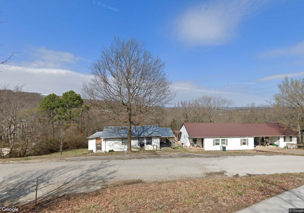
202 Circle Dr Huntsville, AR 72740
Estimated Value: $108,000 - $146,000
--
Bed
--
Bath
700
Sq Ft
$181/Sq Ft
Est. Value
About This Home
This home is located at 202 Circle Dr, Huntsville, AR 72740 and is currently estimated at $126,904, approximately $181 per square foot. 202 Circle Dr is a home.
Ownership History
Date
Name
Owned For
Owner Type
Purchase Details
Closed on
Jan 23, 2023
Sold by
Mcbryde Holdings Of Madison County Llc
Bought by
Fink Family Trust and Fink
Current Estimated Value
Purchase Details
Closed on
Dec 2, 2019
Sold by
Harlson John L and Harlson Rhonda J
Bought by
Mcbryde Holdings Of Madison County Llc
Home Financials for this Owner
Home Financials are based on the most recent Mortgage that was taken out on this home.
Original Mortgage
$100,000
Interest Rate
3.6%
Mortgage Type
Future Advance Clause Open End Mortgage
Purchase Details
Closed on
Aug 12, 1993
Bought by
White Michael
Create a Home Valuation Report for This Property
The Home Valuation Report is an in-depth analysis detailing your home's value as well as a comparison with similar homes in the area
Home Values in the Area
Average Home Value in this Area
Purchase History
| Date | Buyer | Sale Price | Title Company |
|---|---|---|---|
| Fink Family Trust | $180,000 | None Listed On Document | |
| Mcbryde Holdings Of Madison County Llc | $105,000 | None Available | |
| White Michael | $40,000 | -- |
Source: Public Records
Mortgage History
| Date | Status | Borrower | Loan Amount |
|---|---|---|---|
| Previous Owner | Mcbryde Holdings Of Madison County Llc | $100,000 |
Source: Public Records
Tax History Compared to Growth
Tax History
| Year | Tax Paid | Tax Assessment Tax Assessment Total Assessment is a certain percentage of the fair market value that is determined by local assessors to be the total taxable value of land and additions on the property. | Land | Improvement |
|---|---|---|---|---|
| 2025 | $370 | $12,020 | $3,200 | $8,820 |
| 2024 | $339 | $12,020 | $3,200 | $8,820 |
| 2023 | $308 | $6,290 | $3,000 | $3,290 |
| 2022 | $308 | $6,290 | $3,000 | $3,290 |
| 2021 | $302 | $6,290 | $3,000 | $3,290 |
| 2020 | $274 | $5,600 | $3,000 | $2,600 |
| 2019 | $274 | $5,600 | $3,000 | $2,600 |
| 2018 | $253 | $5,600 | $3,000 | $2,600 |
| 2017 | $253 | $5,600 | $3,000 | $2,600 |
| 2016 | $253 | $5,600 | $3,000 | $2,600 |
| 2015 | $247 | $5,470 | $3,000 | $2,470 |
| 2014 | -- | $5,470 | $3,000 | $2,470 |
| 2013 | -- | $5,470 | $3,000 | $2,470 |
Source: Public Records
Map
Nearby Homes
- 001 Arkansas 74
- 106 S Gaskill St
- TBD S Gaskill St
- 613 N Gaskill St
- 107 Dotson St
- 5944 Arkansas 74
- 305 Hawkins Ave
- 317 Dotson St
- 329 Dotson St Unit LotWP001
- 103 War Eagle Ave
- 306 N College St
- 0 Tbd 5551 Unit 1306152
- 0 Tbd 5551 Unit 1306149
- 0 U S 412
- TBD 5551 Madison St
- TBD Madison St
- 311 Madison St
- 0 Madison St
- Tbd Business Highway 412 Unit LotWP001
- 5.78AC Dotson St