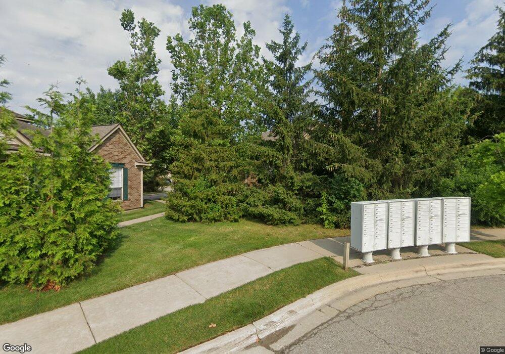
202 Commons Ct Saline, MI 48176
Estimated Value: $254,000 - $258,000
2
Beds
2
Baths
1,056
Sq Ft
$242/Sq Ft
Est. Value
About This Home
This home is located at 202 Commons Ct, Saline, MI 48176 and is currently estimated at $255,948, approximately $242 per square foot. 202 Commons Ct is a home located in Washtenaw County with nearby schools including Pleasant Ridge Elementary School, Heritage School, and Saline Middle School.
Ownership History
Date
Name
Owned For
Owner Type
Purchase Details
Closed on
Jul 25, 2012
Sold by
Spina Carl and Spina Carl M
Bought by
Spina Carl M and Carl Spina Revocable Trust
Current Estimated Value
Purchase Details
Closed on
Oct 28, 2004
Sold by
Rbk Associates Llc
Bought by
Spina Carl
Home Financials for this Owner
Home Financials are based on the most recent Mortgage that was taken out on this home.
Original Mortgage
$128,200
Outstanding Balance
$60,065
Interest Rate
4.87%
Mortgage Type
Fannie Mae Freddie Mac
Estimated Equity
$195,883
Create a Home Valuation Report for This Property
The Home Valuation Report is an in-depth analysis detailing your home's value as well as a comparison with similar homes in the area
Home Values in the Area
Average Home Value in this Area
Purchase History
| Date | Buyer | Sale Price | Title Company |
|---|---|---|---|
| Spina Carl M | -- | None Available | |
| Spina Carl | $160,250 | -- |
Source: Public Records
Mortgage History
| Date | Status | Borrower | Loan Amount |
|---|---|---|---|
| Open | Spina Carl | $128,200 |
Source: Public Records
Tax History Compared to Growth
Tax History
| Year | Tax Paid | Tax Assessment Tax Assessment Total Assessment is a certain percentage of the fair market value that is determined by local assessors to be the total taxable value of land and additions on the property. | Land | Improvement |
|---|---|---|---|---|
| 2025 | $3,699 | $121,600 | $0 | $0 |
| 2024 | $3,591 | $108,200 | $0 | $0 |
| 2023 | $3,445 | $104,700 | $0 | $0 |
| 2022 | $3,476 | $95,500 | $0 | $0 |
| 2021 | $3,345 | $90,900 | $0 | $0 |
| 2020 | $3,309 | $86,100 | $0 | $0 |
| 2019 | $3,236 | $76,500 | $76,500 | $0 |
| 2018 | $3,118 | $69,900 | $0 | $0 |
| 2017 | $134 | $69,600 | $0 | $0 |
| 2016 | $3,001 | $45,268 | $0 | $0 |
| 2015 | -- | $45,133 | $0 | $0 |
| 2014 | -- | $43,724 | $0 | $0 |
| 2013 | -- | $43,724 | $0 | $0 |
Source: Public Records
Map
Nearby Homes
- 1602 Saltsprings Dr
- 1602 Salt Springs Dr
- 1703 Tillage St
- 1702 Tillage St
- 1502 Saltsprings Dr
- 1502 Salt Springs Dr
- 1906 Saltsprings Dr
- 1902 Salt Springs Dr
- 1206 Salt Springs Dr
- 403 Pembroke Dr Unit 138
- 901 Salt Springs Dr
- 2739 Salt Springs Dr Unit 39
- 0 W Michigan Ave Unit 25030621
- 2794 Gallop Way
- 27106 Gallop Way
- 27108 Gallop Way
- 27144 Silo Dr
- 27140 Silo Dr
- 27108 Silo Dr
- Dearborn Plan at Andelina Farms - Single Family Collection
- 204 Commons Ct
- 208 Commons Ct Unit 56
- 206 Commons Ct Unit 55
- 198 Commons Ct Unit 49
- 196 Commons Ct Unit 50
- 192 Commons Ct Unit 52
- 214 Commons Ct Unit 59
- 212 Commons Ct Unit 60
- 194 Commons Ct Unit 51
- 216 Commons Ct Unit 58
- 218 Commons Ct Unit 57
- 0 Commons Ct
- 1601 Salt Springs Dr
- 188 Commons Ct
- 186 Commons Ct
- 228 Commons Ct Unit 64
- 182 Commons Ct
- 222 Commons Ct Unit 61
- 184 Commons Ct
- 224 Commons Ct Unit 62
