Estimated Value: $301,525 - $351,000
3
Beds
2
Baths
1,713
Sq Ft
$186/Sq Ft
Est. Value
About This Home
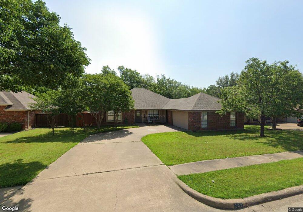
This home is located at 202 Douglas Dr, Wylie, TX 75098 and is currently estimated at $319,381, approximately $186 per square foot. 202 Douglas Dr is a home located in Collin County with nearby schools including P M Akin Elementary School, AB Harrison Intermediate School, and Grady Burnett J High School.
Ownership History
Date
Name
Owned For
Owner Type
Purchase Details
Closed on
Jan 6, 2017
Sold by
Jones Michael W and Jones Jamie L
Bought by
Bonat&Kino Properties Llc
Current Estimated Value
Home Financials for this Owner
Home Financials are based on the most recent Mortgage that was taken out on this home.
Original Mortgage
$131,300
Outstanding Balance
$108,815
Interest Rate
4.32%
Mortgage Type
New Conventional
Estimated Equity
$210,566
Create a Home Valuation Report for This Property
The Home Valuation Report is an in-depth analysis detailing your home's value as well as a comparison with similar homes in the area
Home Values in the Area
Average Home Value in this Area
Purchase History
| Date | Buyer | Sale Price | Title Company |
|---|---|---|---|
| Bonat&Kino Properties Llc | -- | None Available |
Source: Public Records
Mortgage History
| Date | Status | Borrower | Loan Amount |
|---|---|---|---|
| Open | Bonat&Kino Properties Llc | $131,300 |
Source: Public Records
Tax History Compared to Growth
Tax History
| Year | Tax Paid | Tax Assessment Tax Assessment Total Assessment is a certain percentage of the fair market value that is determined by local assessors to be the total taxable value of land and additions on the property. | Land | Improvement |
|---|---|---|---|---|
| 2025 | $5,580 | $276,075 | $80,000 | $196,075 |
| 2024 | $5,580 | $282,509 | $80,000 | $202,509 |
| 2023 | $5,580 | $280,685 | $80,000 | $200,685 |
| 2022 | $5,945 | $271,000 | $65,000 | $206,000 |
| 2021 | $5,294 | $225,000 | $65,000 | $160,000 |
| 2020 | $5,382 | $216,747 | $50,000 | $166,747 |
| 2019 | $5,860 | $223,000 | $50,000 | $173,000 |
| 2018 | $5,117 | $190,000 | $50,000 | $140,000 |
| 2017 | $4,508 | $167,384 | $30,000 | $137,384 |
| 2016 | $4,385 | $163,595 | $30,000 | $133,595 |
| 2015 | $3,218 | $143,483 | $30,000 | $113,483 |
Source: Public Records
Map
Nearby Homes
- 114 Liberty Dr
- 207 Spence Dr
- 304 Hawthorn Dr
- 310 Hawthorn Dr
- 104 N 5th St
- 104 Rushcreek Dr
- 216 Cedar Ridge St
- 409 Cedar Ridge Dr
- 825 Foxwood Ln
- 820 Foxwood Ln
- 1022 Debby Ct
- 306 Woodhollow Ct
- 300 Woodhollow Ct
- 303 N 2nd St
- 213 N West A Allen Blvd
- 811 Forest Edge Ln
- 301 S 3rd St
- 825 Forest Edge Ln
- 1056 Fairview Dr
- 1209 Surrey Cir
- 204 Douglas Dr
- 200 Douglas Dr
- 114 Douglas Dr
- 203 Douglas Dr
- 205 Douglas Dr
- 201 Douglas Dr
- 207 Douglas Dr
- 208 Douglas Dr
- 112 Douglas Dr
- 115 Douglas Dr
- 901 Birchwood Dr
- 202 Liberty Dr
- 204 Liberty Dr
- 113 Douglas Dr
- 200 Liberty Dr
- 903 Birchwood Dr
- 900 Birchwood Dr
- 110 Douglas Dr
- 206 Liberty Dr
- 211 Douglas Dr