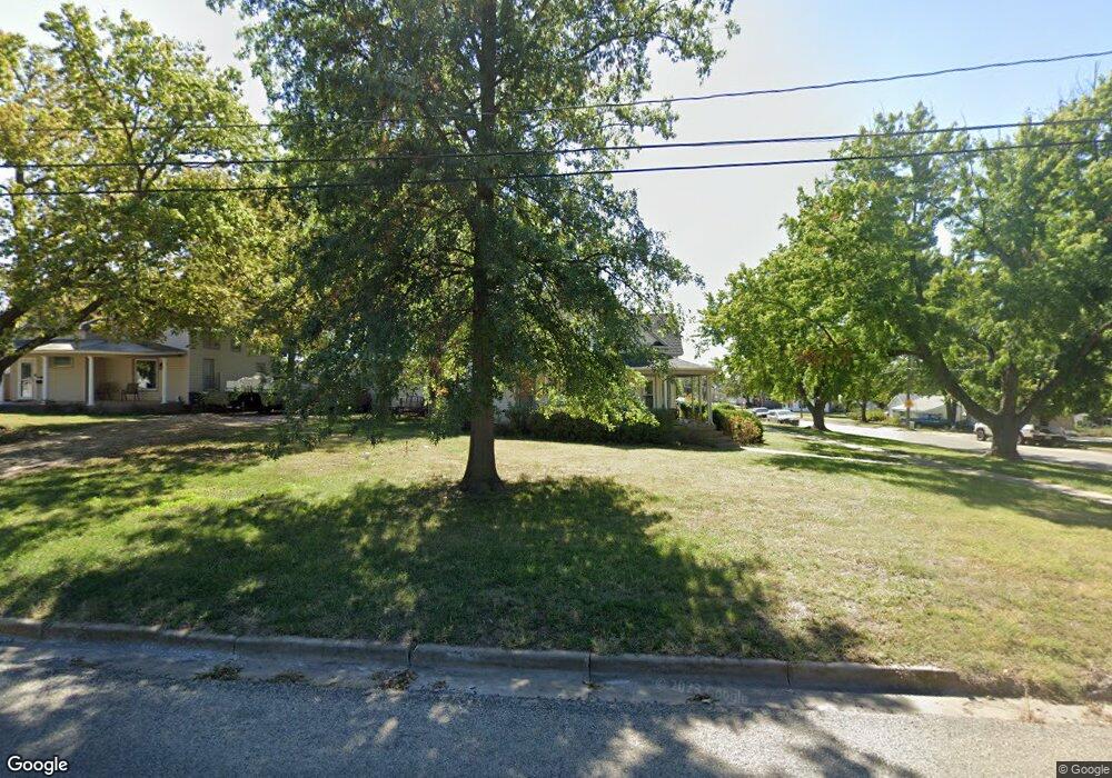
202 E 5th St Minneapolis, KS 67467
Estimated Value: $171,000 - $202,000
5
Beds
2
Baths
1,874
Sq Ft
$98/Sq Ft
Est. Value
About This Home
This home is located at 202 E 5th St, Minneapolis, KS 67467 and is currently estimated at $183,666, approximately $98 per square foot. 202 E 5th St is a home located in Ottawa County with nearby schools including Minneapolis Elementary School and Minneapolis High School.
Ownership History
Date
Name
Owned For
Owner Type
Purchase Details
Closed on
Sep 14, 2009
Sold by
Freel Mark D and Freel Jona M
Bought by
Anderson Mark J and Anderson Rebecca A
Current Estimated Value
Home Financials for this Owner
Home Financials are based on the most recent Mortgage that was taken out on this home.
Original Mortgage
$62,000
Outstanding Balance
$31,544
Interest Rate
5.14%
Mortgage Type
Future Advance Clause Open End Mortgage
Estimated Equity
$152,122
Create a Home Valuation Report for This Property
The Home Valuation Report is an in-depth analysis detailing your home's value as well as a comparison with similar homes in the area
Purchase History
We collect this data history from publicly available records. To have your information removed, we recommend requesting removal directly through your county’s website.
| Date | Buyer | Sale Price | Title Company |
|---|---|---|---|
| Anderson Mark J | -- | -- |
Source: Public Records
Mortgage History
We collect this data history from publicly available records. To have your information removed, we recommend requesting removal directly through your county’s website.
| Date | Status | Borrower | Loan Amount |
|---|---|---|---|
| Open | Anderson Mark J | $62,000 |
Source: Public Records
Tax History
| Year | Tax Paid | Tax Assessment Tax Assessment Total Assessment is a certain percentage of the fair market value that is determined by local assessors to be the total taxable value of land and additions on the property. | Land | Improvement |
|---|---|---|---|---|
| 2025 | $3,531 | $19,632 | $443 | $19,189 |
| 2024 | $33 | $18,630 | $443 | $18,187 |
| 2023 | $2,811 | $15,985 | $443 | $15,542 |
| 2022 | $2,722 | $14,724 | $443 | $14,281 |
| 2021 | $2,709 | $14,022 | $443 | $13,579 |
| 2020 | $2,709 | $13,883 | $443 | $13,440 |
| 2019 | $2,641 | $13,285 | $443 | $12,842 |
| 2018 | $2,587 | $13,003 | $443 | $12,560 |
| 2017 | $2,472 | $12,282 | $443 | $11,839 |
| 2016 | $2,503 | $12,282 | $443 | $11,839 |
| 2015 | -- | $11,959 | $443 | $11,516 |
| 2014 | -- | $11,959 | $443 | $11,516 |
Source: Public Records
Map
Nearby Homes
- 132 E 2nd St
- 212 W 4th St
- 330 E 1st St
- 117 Cherry Ave
- 131 Spruce Ave
- 313 W 2nd St
- 204 S Rothsay Ave
- 222 Mackenzie St
- 456 S Rothsay Ave
- 711 Battle Creek Ln
- 723 Battle Creek Ln
- 805 Battle Creek Ln
- 809 Battle Creek Ln
- 951 N 170th Rd
- 1943 Frontier Rd
- 1335 Quartz Rd
- 751 N 170th Rd
- 1150 Treaty Rd
- 424 N Nelson St
- 00000 N 170th Rd L3 Blk 2
Your Personal Tour Guide
Ask me questions while you tour the home.