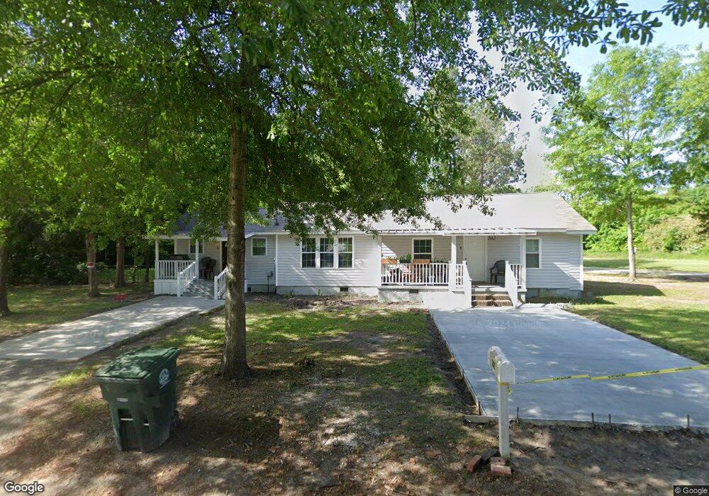
202 E Keitt St Manning, SC 29102
Estimated Value: $86,593 - $143,000
Studio
--
Bath
1,630
Sq Ft
$72/Sq Ft
Est. Value
About This Home
This home is located at 202 E Keitt St, Manning, SC 29102 and is currently estimated at $117,864, approximately $72 per square foot. 202 E Keitt St is a home with nearby schools including Laurence Manning Academy.
Ownership History
Date
Name
Owned For
Owner Type
Purchase Details
Closed on
Mar 23, 2023
Sold by
Twin Palms Investment Group Llc
Bought by
Prince Alex and Prince Angiloe
Current Estimated Value
Home Financials for this Owner
Home Financials are based on the most recent Mortgage that was taken out on this home.
Original Mortgage
$133,000
Outstanding Balance
$128,210
Interest Rate
6.12%
Mortgage Type
New Conventional
Estimated Equity
-$10,346
Purchase Details
Closed on
Sep 21, 2022
Sold by
Alex Prince
Bought by
Twin Palms Investment Group Llc
Purchase Details
Closed on
Dec 20, 2021
Sold by
Clarendon County
Bought by
Prince Angiloe
Create a Home Valuation Report for This Property
The Home Valuation Report is an in-depth analysis detailing your home's value as well as a comparison with similar homes in the area
Home Values in the Area
Average Home Value in this Area
Purchase History
| Date | Buyer | Sale Price | Title Company |
|---|---|---|---|
| Prince Alex | -- | -- | |
| Twin Palms Investment Group Llc | -- | -- | |
| Prince Angiloe | $2,000 | None Listed On Document |
Source: Public Records
Mortgage History
| Date | Status | Borrower | Loan Amount |
|---|---|---|---|
| Open | Prince Alex | $133,000 |
Source: Public Records
Tax History
| Year | Tax Paid | Tax Assessment Tax Assessment Total Assessment is a certain percentage of the fair market value that is determined by local assessors to be the total taxable value of land and additions on the property. | Land | Improvement |
|---|---|---|---|---|
| 2025 | $1,520 | $2,808 | $1,200 | $1,608 |
| 2024 | $1,520 | $2,808 | $1,200 | $1,608 |
| 2023 | $1,461 | $2,784 | $1,200 | $1,584 |
| 2022 | $1,314 | $2,520 | $1,200 | $1,320 |
| 2021 | $998 | $1,914 | $300 | $1,614 |
| 2020 | $908 | $1,914 | $0 | $0 |
| 2019 | $881 | $1,914 | $0 | $0 |
| 2018 | $864 | $1,914 | $0 | $0 |
| 2017 | $854 | $1,914 | $0 | $0 |
| 2016 | $850 | $1,914 | $0 | $0 |
| 2015 | $861 | $2,028 | $300 | $1,728 |
| 2014 | $856 | $2,028 | $300 | $1,728 |
| 2013 | -- | $2,028 | $300 | $1,728 |
Source: Public Records
Map
Nearby Homes
- 202 E Huggins St
- 138 Nelson Cir
- 5301 Cypress Pointe #D301
- 225 Reardon St
- 227 N Church St
- 101 Sumter St
- 200 W Boyce St
- 107 Sumter St
- 250 Dyson St
- 387 Drayton St
- 406 Thames St
- 408 Toccoa Dr
- 416 Thames St
- TBD S Carolina 260
- 423 Thames St
- 126 Hillcrest St
- 401 W Huggins St
- 1000 Carolina Way
- 1085 Birdie Ct
- 1121 Mulligan Dr
- 208 E Keitt St
- 108 Allendale St
- .20 ACRE Bradham St
- 0 Bradham St
- 212 E Keitt St
- 214 E Keitt St
- 210 E Boyce St
- 218 E Keitt St
- 208 E Boyce St
- 210 E Huggins St
- 106 E Huggins St
- 211 Packard Ln
- 213 Packard Ln
- 212 E Huggins St
- 210 Packard Ln
- 217 Packard Ln
- 112 S Church St
- 224 E Keitt St
- 9 S Barfield St
- 7 S Barfield St
Your Personal Tour Guide
Ask me questions while you tour the home.