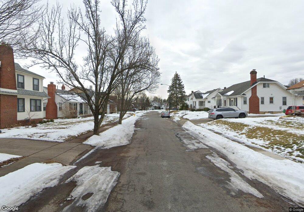
202 E Roseland St Springfield, OH 45503
Estimated Value: $185,000 - $210,000
3
Beds
3
Baths
1,536
Sq Ft
$127/Sq Ft
Est. Value
About This Home
This home is located at 202 E Roseland St, Springfield, OH 45503 and is currently estimated at $194,828, approximately $126 per square foot. 202 E Roseland St is a home located in Clark County with nearby schools including Warder Park-Wayne Elementary School, Schaefer Middle School, and Springfield High School.
Ownership History
Date
Name
Owned For
Owner Type
Purchase Details
Closed on
Jul 11, 2024
Sold by
Ruder Holdings Llc
Bought by
Patterson Maudia L
Current Estimated Value
Home Financials for this Owner
Home Financials are based on the most recent Mortgage that was taken out on this home.
Original Mortgage
$9,500
Outstanding Balance
$9,070
Interest Rate
0.3%
Estimated Equity
$185,758
Purchase Details
Closed on
Oct 8, 2022
Sold by
Rude Robin M
Bought by
Ruder Holdings Llc
Purchase Details
Closed on
Dec 7, 2021
Sold by
Franzen Andrew C
Bought by
Rude Robin M
Purchase Details
Closed on
Dec 10, 2018
Sold by
Secretary Of Housing & Urban Development
Bought by
Franzen Andrew C
Purchase Details
Closed on
Mar 8, 2018
Sold by
Wells Fargo Bank Na
Bought by
Secretary Of Housing & Urban Development
Purchase Details
Closed on
Feb 6, 2018
Sold by
Nugeness Nicea C and Nugeness Nicea
Bought by
Wells Fargo Bank Na
Purchase Details
Closed on
Nov 4, 2009
Sold by
Fannie Mae
Bought by
Nugeness Nicea
Home Financials for this Owner
Home Financials are based on the most recent Mortgage that was taken out on this home.
Original Mortgage
$58,913
Interest Rate
4.84%
Mortgage Type
FHA
Purchase Details
Closed on
Oct 31, 2008
Sold by
Dasilva Elizabeth A
Bought by
Fanniemae and Federal National Mortgage Association
Purchase Details
Closed on
Jul 22, 1996
Sold by
Monroe James H
Bought by
Connell Elizabeth A
Home Financials for this Owner
Home Financials are based on the most recent Mortgage that was taken out on this home.
Original Mortgage
$87,550
Interest Rate
8.31%
Mortgage Type
VA
Purchase Details
Closed on
Dec 4, 1989
Create a Home Valuation Report for This Property
The Home Valuation Report is an in-depth analysis detailing your home's value as well as a comparison with similar homes in the area
Home Values in the Area
Average Home Value in this Area
Purchase History
| Date | Buyer | Sale Price | Title Company |
|---|---|---|---|
| Patterson Maudia L | $190,000 | City Title | |
| Patterson Maudia L | $190,000 | City Title | |
| Ruder Holdings Llc | -- | -- | |
| Ruder Holdings Llc | -- | None Listed On Document | |
| Rude Robin M | $135,000 | None Available | |
| Franzen Andrew C | $40,500 | None Available | |
| Secretary Of Housing & Urban Development | -- | Boston National Title Agency | |
| Wells Fargo Bank Na | $40,000 | None Available | |
| Nugeness Nicea | $60,000 | Ohio Title Corporation | |
| Fanniemae | $48,667 | None Available | |
| Connell Elizabeth A | $85,000 | -- | |
| -- | $64,800 | -- |
Source: Public Records
Mortgage History
| Date | Status | Borrower | Loan Amount |
|---|---|---|---|
| Open | Patterson Maudia L | $9,500 | |
| Closed | Patterson Maudia L | $9,500 | |
| Open | Patterson Maudia L | $186,558 | |
| Closed | Patterson Maudia L | $186,558 | |
| Previous Owner | Nugeness Nicea | $58,913 | |
| Previous Owner | Connell Elizabeth A | $87,550 |
Source: Public Records
Tax History
| Year | Tax Paid | Tax Assessment Tax Assessment Total Assessment is a certain percentage of the fair market value that is determined by local assessors to be the total taxable value of land and additions on the property. | Land | Improvement |
|---|---|---|---|---|
| 2025 | $1,887 | $56,620 | $7,020 | $49,600 |
| 2024 | $1,839 | $37,230 | $6,270 | $30,960 |
| 2023 | $1,839 | $37,230 | $6,270 | $30,960 |
| 2022 | $1,884 | $37,230 | $6,270 | $30,960 |
| 2021 | $1,622 | $29,520 | $5,020 | $24,500 |
| 2020 | $1,626 | $29,520 | $5,020 | $24,500 |
| 2019 | $1,630 | $29,520 | $5,020 | $24,500 |
| 2018 | $1,741 | $31,130 | $5,020 | $26,110 |
| 2017 | $1,740 | $33,545 | $5,016 | $28,529 |
| 2016 | $1,742 | $33,545 | $5,016 | $28,529 |
| 2015 | $1,869 | $33,545 | $5,016 | $28,529 |
| 2014 | $1,861 | $33,545 | $5,016 | $28,529 |
| 2013 | $1,841 | $33,545 | $5,016 | $28,529 |
Source: Public Records
Map
Nearby Homes
- 207 Roseland Ave W
- 2702 Maplewood Ave
- 129 N Burnett Rd
- 115 S Burnett Rd
- 2514 Hillside Ave
- 138 Lawnview Ave
- 2425 Kenilworth Ave
- 3012 E High St
- 360 Buxton Ave
- 2201 Woodside Ave
- 2111 Beatrice St
- 374 Raffensperger Ave
- 2804 Lowman St
- 2111 Kenilworth Ave
- 907 Bellevue Ave
- 250 S Douglas Ave Unit 254
- 451 Lawnview Ave
- 2020 Woodside Ave
- 2226 Columbus Ave
- 2224-2226 Columbus Ave
- 202 Roseland Ave E
- 130 Roseland Ave E
- 208 Roseland Ave E
- 126 Roseland Ave E
- 210 Roseland Ave E
- 201 Roseland Ave E
- 129 Roseland Ave E
- 207 Roseland Ave E
- 120 Roseland Ave E
- 123 Roseland Ave E
- 217 Roseland Ave E
- 220 Roseland Ave E
- 117 Roseland Ave E
- 225 Roseland Ave E
- 114 Roseland Ave E
- 226 Roseland Ave E
- 206 Roseland Ave W
- 128 Roseland Ave W
- 210 Roseland Ave W
- 124 Roseland Ave W
Your Personal Tour Guide
Ask me questions while you tour the home.