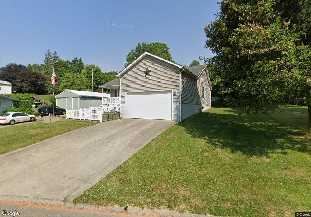
202 E Sheridan Ave Somerset, OH 43783
Estimated Value: $216,000 - $297,000
2
Beds
1
Bath
1,196
Sq Ft
$213/Sq Ft
Est. Value
About This Home
This home is located at 202 E Sheridan Ave, Somerset, OH 43783 and is currently estimated at $254,958, approximately $213 per square foot. 202 E Sheridan Ave is a home located in Perry County with nearby schools including Sheridan High School and Holy Trinity Elementary School.
Ownership History
Date
Name
Owned For
Owner Type
Purchase Details
Closed on
Oct 17, 2011
Sold by
Archer Francis E and Davisson Caroline J
Bought by
Collins Teryl S
Current Estimated Value
Home Financials for this Owner
Home Financials are based on the most recent Mortgage that was taken out on this home.
Original Mortgage
$90,000
Outstanding Balance
$59,780
Interest Rate
4.02%
Mortgage Type
Unknown
Estimated Equity
$195,178
Create a Home Valuation Report for This Property
The Home Valuation Report is an in-depth analysis detailing your home's value as well as a comparison with similar homes in the area
Purchase History
| Date | Buyer | Sale Price | Title Company |
|---|---|---|---|
| Collins Teryl S | $130,000 | None Available |
Source: Public Records
Mortgage History
| Date | Status | Borrower | Loan Amount |
|---|---|---|---|
| Open | Collins Teryl S | $90,000 |
Source: Public Records
Tax History
| Year | Tax Paid | Tax Assessment Tax Assessment Total Assessment is a certain percentage of the fair market value that is determined by local assessors to be the total taxable value of land and additions on the property. | Land | Improvement |
|---|---|---|---|---|
| 2025 | $2,806 | $66,200 | $5,170 | $61,030 |
| 2024 | $2,806 | $66,200 | $5,170 | $61,030 |
| 2023 | $2,957 | $66,200 | $5,170 | $61,030 |
| 2022 | $3,020 | $53,550 | $3,910 | $49,640 |
| 2021 | $2,767 | $53,550 | $3,910 | $49,640 |
| 2020 | $2,716 | $53,550 | $3,910 | $49,640 |
| 2019 | $2,382 | $46,710 | $3,730 | $42,980 |
| 2018 | $2,415 | $46,710 | $3,730 | $42,980 |
| 2017 | $2,294 | $46,710 | $3,730 | $42,980 |
| 2016 | $2,026 | $42,620 | $3,770 | $38,850 |
| 2015 | $2,024 | $42,620 | $3,770 | $38,850 |
| 2014 | $1,957 | $42,620 | $3,770 | $38,850 |
| 2013 | $1,984 | $42,620 | $3,770 | $38,850 |
| 2012 | -- | $42,620 | $3,770 | $38,850 |
Source: Public Records
Map
Nearby Homes
- 107 S Columbus St
- 8151 Township Road 68 NW
- 0 Us-22
- 5475 Rush Creek Rd NW
- 0 Winegardner Rd NW Unit 26482820
- 0 Winegardner Rd NW Unit 26482832
- 0 Winegardner Rd NW Unit 26570813
- 10705 Township Road 92
- Township Rd 51
- Township Rd 51
- Township Rd 51
- Township Rd 51
- 2492 Township Road 145 NE
- 5586 N State Route 22
- Township Rd 51
- Township Rd 51
- Township Rd 51
- Township Rd 51
- Township Rd 51
- 3064 Township Road 124 NE
- 203 E Sheridan Ave
- 200 E Sheridan Ave
- 204 E Sheridan Ave
- 204 E Sheridan Ave
- 204 E Main St
- 202 E Main St
- 201 E Sheridan Ave
- 206 E Main St
- 206 E Sheridan Ave
- 208 E Main St
- 200 E Main St
- 130 E Sheridan Ave
- 127 E Sheridan Ave
- 144 E Main St
- 142 E Main St
- 138 E Main St
- 140 E Main St
- 128 E Sheridan Ave
- 135 E Main St
- 125 E Sheridan Ave
Your Personal Tour Guide
Ask me questions while you tour the home.